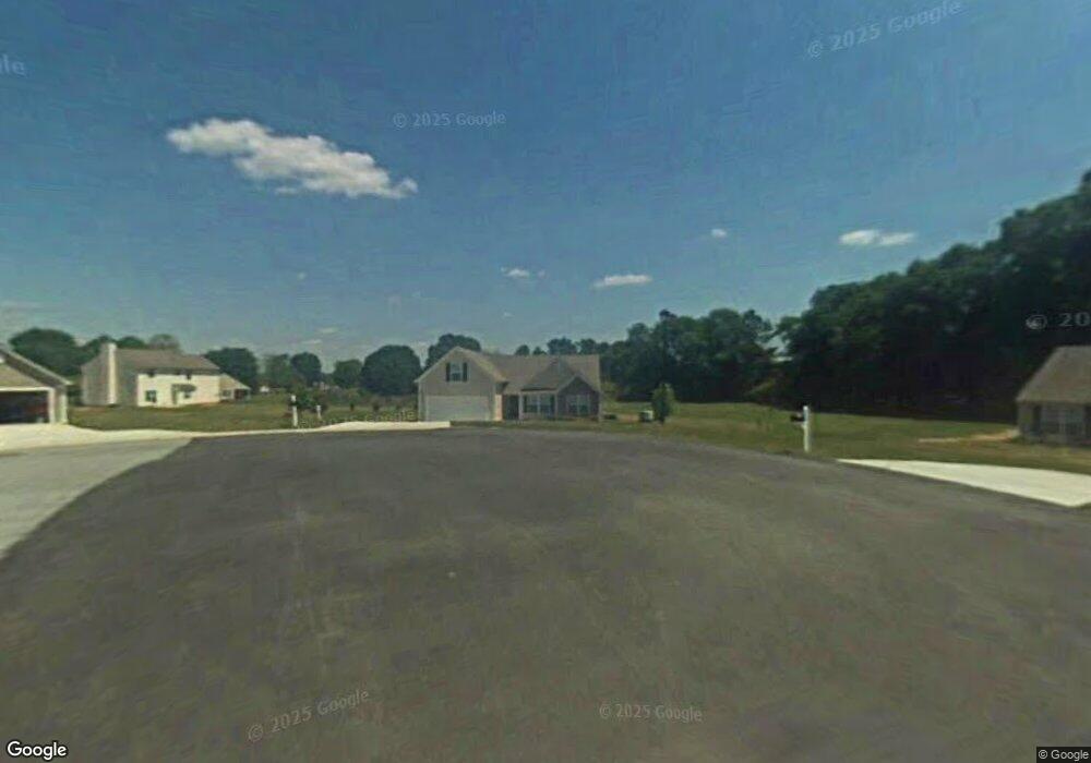
402 Welsh Cir Bethlehem, GA 30620
Estimated Value: $321,984 - $343,000
Studio
2
Baths
1,842
Sq Ft
$183/Sq Ft
Est. Value
About This Home
This home is located at 402 Welsh Cir, Bethlehem, GA 30620 and is currently estimated at $336,246, approximately $182 per square foot. 402 Welsh Cir is a home located in Barrow County with nearby schools including Yargo Elementary School, Haymon-Morris Middle School, and Apalachee High School.
Ownership History
Date
Name
Owned For
Owner Type
Purchase Details
Closed on
Aug 11, 2022
Sold by
Brown Christopher A
Bought by
Sfbrown Properties Llc and C/O Brown Christopher A
Current Estimated Value
Purchase Details
Closed on
Mar 11, 2005
Sold by
Crown Pk Hms Dh /Cambridge Llc
Bought by
Brown Christopher A and Rappold Lindsay J
Home Financials for this Owner
Home Financials are based on the most recent Mortgage that was taken out on this home.
Original Mortgage
$120,700
Interest Rate
5.63%
Mortgage Type
New Conventional
Purchase Details
Closed on
Jun 15, 2004
Sold by
Millstone Dev Grp Inc
Bought by
Crown Pk Hms Dh Of Cambridge Llc
Home Financials for this Owner
Home Financials are based on the most recent Mortgage that was taken out on this home.
Original Mortgage
$110,000
Interest Rate
6.09%
Purchase Details
Closed on
Apr 1, 2004
Bought by
Millstone Development Group Inc
Create a Home Valuation Report for This Property
The Home Valuation Report is an in-depth analysis detailing your home's value as well as a comparison with similar homes in the area
Home Values in the Area
Average Home Value in this Area
Purchase History
| Date | Buyer | Sale Price | Title Company |
|---|---|---|---|
| Sfbrown Properties Llc | -- | -- | |
| Brown Christopher A | $150,900 | -- | |
| Crown Pk Hms Dh Of Cambridge Llc | $38,500 | -- | |
| Millstone Development Group Inc | -- | -- |
Source: Public Records
Mortgage History
| Date | Status | Borrower | Loan Amount |
|---|---|---|---|
| Previous Owner | Brown Christopher A | $120,700 | |
| Previous Owner | Crown Pk Hms Dh Of Cambridge Llc | $110,000 |
Source: Public Records
Tax History
| Year | Tax Paid | Tax Assessment Tax Assessment Total Assessment is a certain percentage of the fair market value that is determined by local assessors to be the total taxable value of land and additions on the property. | Land | Improvement |
|---|---|---|---|---|
| 2025 | $3,216 | $133,662 | $28,000 | $105,662 |
| 2024 | $3,289 | $130,632 | $28,000 | $102,632 |
| 2023 | $3,108 | $123,430 | $28,000 | $95,430 |
| 2022 | $2,562 | $86,902 | $22,400 | $64,502 |
| 2021 | $2,246 | $71,450 | $18,000 | $53,450 |
| 2020 | $2,118 | $67,029 | $18,000 | $49,029 |
| 2019 | $2,154 | $67,029 | $18,000 | $49,029 |
| 2018 | $2,017 | $63,229 | $14,200 | $49,029 |
| 2017 | $1,573 | $54,042 | $14,200 | $39,842 |
| 2016 | $1,522 | $47,451 | $14,200 | $33,251 |
| 2015 | $1,540 | $47,812 | $14,200 | $33,612 |
| 2014 | $1,402 | $41,813 | $7,840 | $33,973 |
| 2013 | -- | $39,647 | $7,840 | $31,807 |
Source: Public Records
Map
Nearby Homes
- 1129 Loganville Hwy
- 627 Bridle Creek Dr
- 1256 Loganville Hwy
- 209 Angie Way
- 923 Downing Dr
- 907 Downing Dr
- 611 Mcdowell Ln
- 1202 Benton Ct
- 732 Ridgeland Rd
- 738 Worth Ct
- 724 Westbury Dr
- 631 Saddle Ridge Dr
- 1309 Tom Miller Rd
- 1562 Pointe South Cir
- 1583 Pointe South Cir
- 713 Carl Bethlehem Rd
- 1587 Pointe South Cir
- 449 Carl Bethlehem Rd SW
- 1188 Carl-Bethlehem Rd
- 85 Silverleaf Trail
- 400 Welsh Cir
- 404 Welsh Cir
- 301 Grafton Cir
- 403 Welsh Cir
- 401 Welsh Cir
- 302 Grafton Cir
- 1124 Otis Dr
- 200 Duxford Cir
- 1121 Otis Dr
- 1099 Loganville Hwy
- 511 Saddle Ridge Dr
- 1112 Otis Dr
- 1126 Otis Dr
- 1123 Otis Dr
- 1125 Otis Dr
- 204 Duxford Cir
- 1128 Otis Dr
- 513 Saddle Ridge Dr
- 1110 Otis Dr
- 509 Saddle Ridge Dr
Your Personal Tour Guide
Ask me questions while you tour the home.