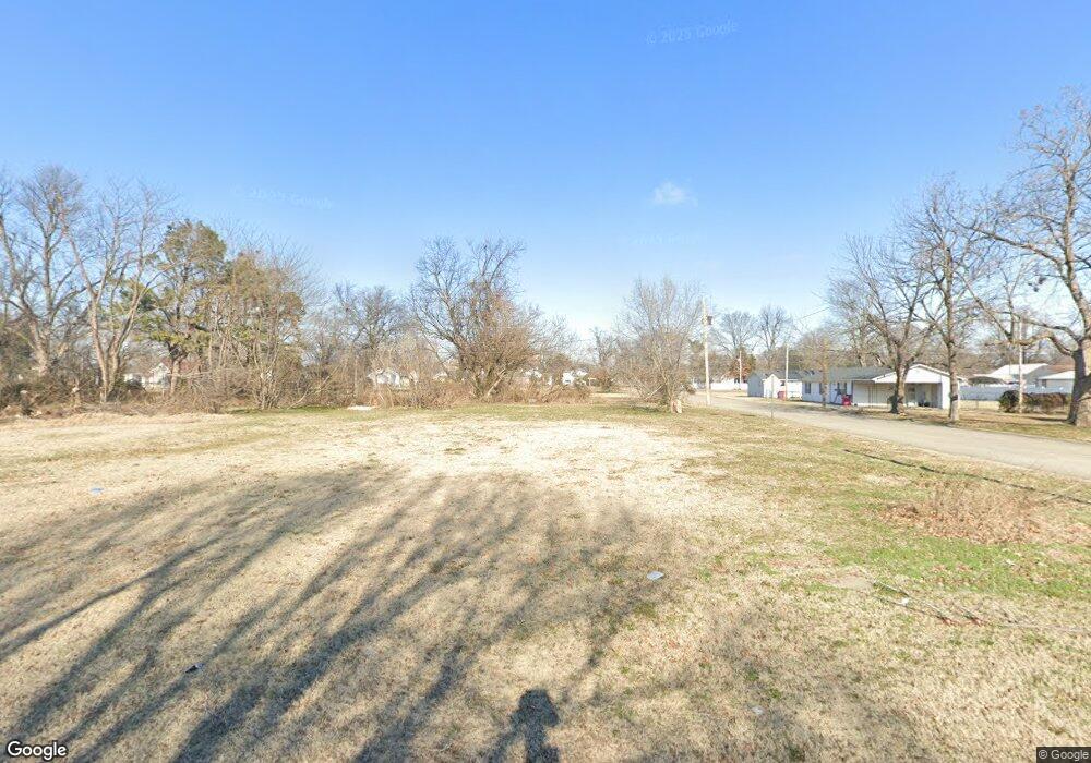
402 William St Sikeston, MO 63801
Estimated Value: $71,000 - $96,000
2
Beds
1
Bath
1,190
Sq Ft
$70/Sq Ft
Est. Value
About This Home
This home is located at 402 William St, Sikeston, MO 63801 and is currently estimated at $83,500, approximately $70 per square foot. 402 William St is a home with nearby schools including Sikeston Senior High School, St. Francis Xavier School, and The Christian Academy.
Ownership History
Date
Name
Owned For
Owner Type
Purchase Details
Closed on
Oct 1, 2021
Sold by
Tuner Josie
Bought by
City Of Sikeston Land Clearance For Rede
Current Estimated Value
Purchase Details
Closed on
Feb 24, 2021
Sold by
Turner Josie
Bought by
Land Clearance For Redevelopment Authori and City Of Sikeston
Purchase Details
Closed on
Sep 8, 2020
Sold by
Turner Josie
Bought by
City Of Sikeston Land Clearance For Rede
Purchase Details
Closed on
Jun 27, 2014
Sold by
Charles Clinton Charles Clinton
Bought by
Turner Josie
Purchase Details
Closed on
Jun 18, 2014
Sold by
Charles Clinton Charles Clinton
Bought by
Turner Josie
Create a Home Valuation Report for This Property
The Home Valuation Report is an in-depth analysis detailing your home's value as well as a comparison with similar homes in the area
Home Values in the Area
Average Home Value in this Area
Purchase History
| Date | Buyer | Sale Price | Title Company |
|---|---|---|---|
| City Of Sikeston Land Clearance For Rede | -- | None Available | |
| Land Clearance For Redevelopment Authori | $970 | None Available | |
| City Of Sikeston Land Clearance For Rede | -- | None Available | |
| Turner Josie | -- | -- | |
| Turner Josie | -- | -- |
Source: Public Records
Tax History
| Year | Tax Paid | Tax Assessment Tax Assessment Total Assessment is a certain percentage of the fair market value that is determined by local assessors to be the total taxable value of land and additions on the property. | Land | Improvement |
|---|---|---|---|---|
| 2025 | $51 | $0 | $0 | $0 |
| 2023 | $51 | $0 | $0 | $0 |
| 2022 | $51 | $0 | $0 | $0 |
| 2021 | $51 | $1,030 | $0 | $0 |
| 2020 | $136 | $1,030 | $0 | $0 |
| 2019 | -- | $1,030 | $0 | $0 |
| 2018 | -- | $1,030 | $0 | $0 |
| 2017 | -- | $1,030 | $0 | $0 |
| 2014 | -- | $2,950 | $0 | $0 |
| 2011 | -- | $2,950 | $0 | $0 |
Source: Public Records
Map
Nearby Homes
- 406 W Gladys St
- 318 Kendall St
- 512 S New Madrid St
- 511 S Kingshighway St
- 848 Agnes St
- 811 Cotton Ridge Dr
- 800 Cotton Ridge Dr
- 810 Cotton Ridge Dr
- 804 Cotton Ridge Dr
- 806 Cotton Ridge Dr
- 808 Cotton Ridge Dr
- 809 Cotton Ridge Dr
- 802 Cotton Ridge Dr
- 849 William St
- 807 Bollweevil Blvd
- 801 Bollweevil Blvd
- 811 Bollweevil Blvd
- 809 Bollweevil Blvd
- 803 Bollweevil Blvd
- 309 Benton St
Your Personal Tour Guide
Ask me questions while you tour the home.