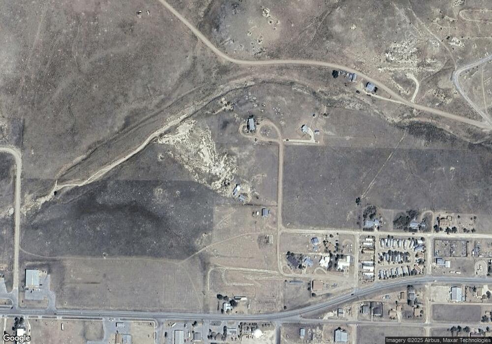
402 Wood St Silver Cliff, CO 81252
Estimated Value: $69,000
--
Bed
--
Bath
1,381
Sq Ft
$50/Sq Ft
Est. Value
About This Home
This home is located at 402 Wood St, Silver Cliff, CO 81252 and is currently priced at $69,000, approximately $49 per square foot. 402 Wood St is a home located in Custer County with nearby schools including Custer County Elementary School, Custer Middle School, and Custer County High School.
Ownership History
Date
Name
Owned For
Owner Type
Purchase Details
Closed on
Mar 31, 2021
Sold by
The Turner Ore Mill Foundation
Bought by
The Town Of Silver Cliff
Current Estimated Value
Purchase Details
Closed on
Aug 4, 1998
Sold by
S D L Holdings Llc
Bought by
Turner Ore Mill Foundation
Purchase Details
Closed on
May 30, 1996
Sold by
Arlt Henry A
Bought by
S D L Holdings Llc
Purchase Details
Closed on
Jan 25, 1994
Sold by
Prebble Mark
Bought by
Arlt Henry A
Purchase Details
Closed on
Dec 10, 1993
Sold by
Turner James C and Turner Florence
Bought by
Prebble Mark A
Create a Home Valuation Report for This Property
The Home Valuation Report is an in-depth analysis detailing your home's value as well as a comparison with similar homes in the area
Home Values in the Area
Average Home Value in this Area
Purchase History
| Date | Buyer | Sale Price | Title Company |
|---|---|---|---|
| The Town Of Silver Cliff | -- | None Available | |
| Turner Ore Mill Foundation | $100,000 | -- | |
| S D L Holdings Llc | $99,000 | -- | |
| Arlt Henry A | $6,500 | -- | |
| Prebble Mark A | $8,800 | -- |
Source: Public Records
Tax History Compared to Growth
Tax History
| Year | Tax Paid | Tax Assessment Tax Assessment Total Assessment is a certain percentage of the fair market value that is determined by local assessors to be the total taxable value of land and additions on the property. | Land | Improvement |
|---|---|---|---|---|
| 2024 | -- | $10,250 | $0 | $0 |
| 2023 | $0 | $10,250 | $0 | $0 |
| 2022 | $0 | $10,660 | $10,660 | $0 |
| 2021 | $516 | $0 | $0 | $0 |
| 2020 | $516 | $7,540 | $7,540 | $0 |
| 2019 | $179 | $2,640 | $2,640 | $0 |
| 2018 | $181 | $2,640 | $2,640 | $0 |
| 2017 | $176 | $2,639 | $2,639 | $0 |
| 2016 | $169 | $2,640 | $2,640 | $0 |
| 2015 | -- | $9,100 | $9,100 | $0 |
| 2012 | $163 | $9,100 | $9,100 | $0 |
Source: Public Records
Map
Nearby Homes
- 601 N Wood
- 325 E Main St Unit 3
- 325 E Main St Unit 12
- 325 E Main St Unit 28
- 325 E Main St Unit 14
- 420 Belford St
- 418 Cliff St
- 0 Emery St
- 202 1st St
- 430 Broadway
- 40 E Main St
- 107 Second St
- 16 Second St
- 306 Fox Run E
- 306 Fox Run Estates E
- 279 Mission Dr
- 100 Fox Run
- Plaza Unit 1
- 201 Fox Run W
- 104 Mission Dr
- 600 Wood St N
- 1 Cliff Dwelling
- 1A Cliff St
- 220 Cliff St
- 201 Summit St
- 207 Summit Ave
- 222 Cliff St Unit 5A
- 222 Cliff St Unit 3A
- 222 Cliff St Unit 4A
- 222 Cliff St
- 211 Summit St
- 215 Main St
- TBD Summit Ave
- 000 Hwy 96
- 000 Hwy 96 Unit n/a
- 000 Hwy 96 Unit 12
- 321 Summit St
- 303 Cliff St
- 303 Fox Run E Unit 20
- 303 Fox Run E
