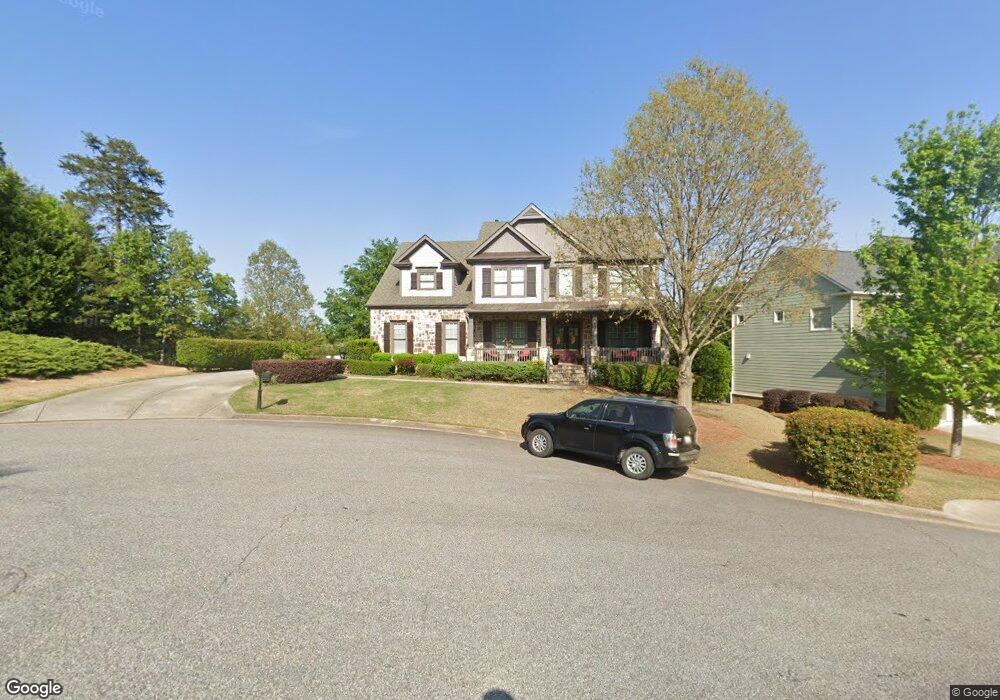
4020 Stanley Rd Cumming, GA 30041
Estimated Value: $716,011 - $877,000
4
Beds
3
Baths
2,840
Sq Ft
$283/Sq Ft
Est. Value
About This Home
This home is located at 4020 Stanley Rd, Cumming, GA 30041 and is currently estimated at $803,253, approximately $282 per square foot. 4020 Stanley Rd is a home located in Forsyth County with nearby schools including Haw Creek Elementary School, Lakeside Middle School, and South Forsyth High School.
Ownership History
Date
Name
Owned For
Owner Type
Purchase Details
Closed on
Jul 20, 2007
Sold by
Touchstone Homes Ga Inc
Bought by
Lee Jeffrey P and Destaubin Kitty
Current Estimated Value
Home Financials for this Owner
Home Financials are based on the most recent Mortgage that was taken out on this home.
Original Mortgage
$348,250
Outstanding Balance
$219,367
Interest Rate
6.65%
Mortgage Type
New Conventional
Estimated Equity
$583,886
Create a Home Valuation Report for This Property
The Home Valuation Report is an in-depth analysis detailing your home's value as well as a comparison with similar homes in the area
Home Values in the Area
Average Home Value in this Area
Purchase History
| Date | Buyer | Sale Price | Title Company |
|---|---|---|---|
| Lee Jeffrey P | $435,400 | -- |
Source: Public Records
Mortgage History
| Date | Status | Borrower | Loan Amount |
|---|---|---|---|
| Open | Lee Jeffrey P | $348,250 |
Source: Public Records
Tax History Compared to Growth
Tax History
| Year | Tax Paid | Tax Assessment Tax Assessment Total Assessment is a certain percentage of the fair market value that is determined by local assessors to be the total taxable value of land and additions on the property. | Land | Improvement |
|---|---|---|---|---|
| 2025 | $1,287 | $275,472 | $76,000 | $199,472 |
| 2024 | $1,287 | $270,020 | $66,000 | $204,020 |
| 2023 | $1,182 | $250,720 | $56,000 | $194,720 |
| 2022 | $1,272 | $165,972 | $32,000 | $133,972 |
| 2021 | $4,467 | $165,972 | $32,000 | $133,972 |
| 2020 | $4,328 | $159,992 | $32,000 | $127,992 |
| 2019 | $4,504 | $167,452 | $32,000 | $135,452 |
| 2018 | $4,057 | $149,872 | $26,000 | $123,872 |
| 2017 | $3,933 | $144,872 | $26,000 | $118,872 |
| 2016 | $3,791 | $139,752 | $26,000 | $113,752 |
| 2015 | $3,798 | $139,752 | $26,000 | $113,752 |
| 2014 | $3,321 | $128,732 | $0 | $0 |
Source: Public Records
Map
Nearby Homes
- 3320 Spencer St
- 3715 Slater St
- 3045 Salisbury Ln
- 3245 Sparling St
- 1037 Windermere Crossing
- 3230 Riverhill Ct
- 1648 Hutton Place
- 825 River Trace Ct
- 3620 Woodbury Creek Dr
- 1275 Water View Ln
- 310 Burgess Mill Trail
- 2202 Glenridge Ln
- 3340 Silver Lake Dr
- 3430 Silver Lake Dr
- 1440 Buckskin Trail
- 1458 Edenfield Pte
- 1458 Edenfield Pointe
- 2400 Gants Hill Place
- 4010 Stanley Rd
- 4005 Stanley Rd Unit 1154
- 4005 Stanley Rd
- 4015 Stanley Rd
- 4025 Stanley Rd
- 3995 Stanley Rd
- 3990 Stanley Rd
- 3985 Stanley Rd
- 3980 Stanley Rd
- 3720 Sweeting St
- 3975 Stanley Rd
- 3470 Slater St
- 2160 Windsor Bluffs Dr
- 3970 Stanley Rd
- 3480 Slater St
- 3460 Slater St Unit 1191
- 3460 Slater St
- 3365 Spencer St
- 3730 Sweeting St
- 0 Stanley Rd Unit 7427850