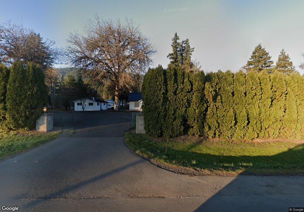
40227 Mckenzie Hwy Springfield, OR 97478
Estimated Value: $600,000 - $870,718
3
Beds
1
Bath
1,456
Sq Ft
$496/Sq Ft
Est. Value
About This Home
This home is located at 40227 Mckenzie Hwy, Springfield, OR 97478 and is currently estimated at $722,180, approximately $496 per square foot. 40227 Mckenzie Hwy is a home with nearby schools including Walterville Elementary School, Briggs Middle School, and Thurston High School.
Ownership History
Date
Name
Owned For
Owner Type
Purchase Details
Closed on
Jul 6, 2015
Sold by
Gerhart William A and Gerhart Catherine M
Bought by
Sturdevant Steven
Current Estimated Value
Home Financials for this Owner
Home Financials are based on the most recent Mortgage that was taken out on this home.
Original Mortgage
$288,000
Outstanding Balance
$222,591
Interest Rate
3.85%
Mortgage Type
New Conventional
Estimated Equity
$499,589
Purchase Details
Closed on
Mar 19, 2009
Sold by
Gerhart William A and Gerhart Catherine M
Bought by
Gerhart William A and Gerhart Catherine M
Home Financials for this Owner
Home Financials are based on the most recent Mortgage that was taken out on this home.
Original Mortgage
$196,000
Interest Rate
5.19%
Mortgage Type
New Conventional
Purchase Details
Closed on
Oct 2, 2001
Sold by
Crookes Adrienne L
Bought by
Gerhart William A and Gerhart Catherine
Create a Home Valuation Report for This Property
The Home Valuation Report is an in-depth analysis detailing your home's value as well as a comparison with similar homes in the area
Purchase History
| Date | Buyer | Sale Price | Title Company |
|---|---|---|---|
| Sturdevant Steven | $360,000 | Evergreen Land Title Company | |
| Gerhart William A | -- | Western Title | |
| Gerhart William A | $205,000 | Western Pioneer Title Co |
Source: Public Records
Mortgage History
| Date | Status | Borrower | Loan Amount |
|---|---|---|---|
| Open | Sturdevant Steven | $288,000 | |
| Previous Owner | Gerhart William A | $196,000 |
Source: Public Records
Tax History
| Year | Tax Paid | Tax Assessment Tax Assessment Total Assessment is a certain percentage of the fair market value that is determined by local assessors to be the total taxable value of land and additions on the property. | Land | Improvement |
|---|---|---|---|---|
| 2025 | $4,860 | $420,708 | -- | -- |
| 2024 | $4,530 | $408,455 | -- | -- |
| 2023 | $4,530 | $396,559 | -- | -- |
| 2022 | $4,320 | $385,009 | $0 | $0 |
| 2021 | $4,220 | $373,796 | $0 | $0 |
| 2020 | $4,091 | $362,909 | $0 | $0 |
| 2019 | $3,879 | $352,339 | $0 | $0 |
| 2018 | $3,753 | $332,114 | $0 | $0 |
| 2017 | $3,550 | $332,114 | $0 | $0 |
| 2016 | $2,461 | $229,567 | $0 | $0 |
Source: Public Records
Map
Nearby Homes
- 40064 Mckenzie Hwy
- 40211 Deerhorn Rd
- 88152 Keola Ln
- 0 Tonga Ln
- 40971 Deerhorn Rd
- 40153 Booth Kelly Rd
- 39464 Walterville Ln
- 39125 Easton Ln
- 17-1-3 Road
- 38730 Natures Garden St
- 41886 Deerhorn Rd
- 89011 Bridge St
- 41925 Deerhorn Rd
- 41929 Deerhorn Rd
- 87851 Cedar Flat Rd
- 0 Upper Camp Creek Rd Unit 734099093
- 0 Upper Camp Creek Rd Unit 473471921
- 38350 Mckenzie Hwy
- 38220 Boscage Ln
- 0 Boscage Ln
- 40201 Mckenzie Hwy
- 40265 Mckenzie Hwy
- 40262 Mckenzie Hwy
- 40185 Mckenzie Hwy
- 40181 Mckenzie Hwy
- 40291 Mckenzie Hwy
- 40179 Mckenzie Hwy
- 88629 Latta Rd
- 40321 Mckenzie Hwy
- 40135 Mckenzie Hwy
- 0 Buck Point Way Unit 16056284
- 40132 Mckenzie Hwy
- 88752 Buck Point Way
- 88715 Latta Rd
- 88745 Buck Point Way
- 88764 Buck Point Way
- 40118 Mckenzie Hwy
- 88609 Partridge Ln
- 40351 Mckenzie Hwy
- 88585 Partridge Ln
Your Personal Tour Guide
Ask me questions while you tour the home.