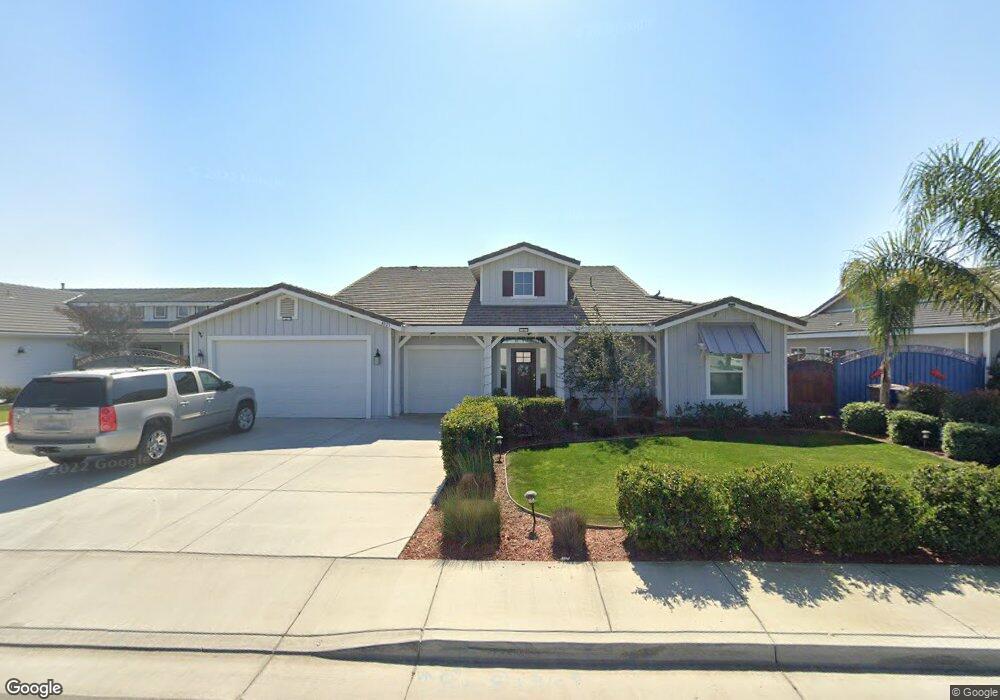
4023 Rolling Rock Ave Bakersfield, CA 93313
Stonegate NeighborhoodEstimated Value: $582,000 - $672,000
About This Home
This home is located at 4023 Rolling Rock Ave, Bakersfield, CA 93313 and is currently estimated at $627,948, approximately $231 per square foot. 4023 Rolling Rock Ave is a home with nearby schools including Panama Elementary School, Stonecreek Junior High School, and Ridgeview High School.
Ownership History
We collect this data history from publicly available records. To have your information removed, we recommend requesting removal directly through your county’s website.
Purchase Details
Home Financials for this Owner
Home Financials are based on the most recent Mortgage that was taken out on this home.Home Values in the Area
Average Home Value in this Area
Purchase History
We collect this data history from publicly available records. To have your information removed, we recommend requesting removal directly through your county’s website.
| Date | Buyer | Sale Price | Title Company |
|---|---|---|---|
| $422,000 | Chicago Title Bakersfield |
Mortgage History
We collect this data history from publicly available records. To have your information removed, we recommend requesting removal directly through your county’s website.
| Date | Status | Borrower | Loan Amount |
|---|---|---|---|
| Open | $358,615 |
Tax History
We collect this data history from publicly available records. To have your information removed, we recommend requesting removal directly through your county’s website.
| Year | Tax Paid | Tax Assessment Tax Assessment Total Assessment is a certain percentage of the fair market value that is determined by local assessors to be the total taxable value of land and additions on the property. | Land | Improvement |
|---|---|---|---|---|
| 2025 | $6,608 | $508,043 | $68,267 | $439,776 |
| 2024 | $6,506 | $498,083 | $66,929 | $431,154 |
| 2023 | $6,506 | $488,318 | $65,617 | $422,701 |
| 2022 | $6,249 | $478,745 | $64,331 | $414,414 |
| 2021 | $6,111 | $469,359 | $63,070 | $406,289 |
| 2020 | $6,042 | $464,548 | $62,424 | $402,124 |
| 2019 | $5,930 | $464,548 | $62,424 | $402,124 |
| 2018 | $3,974 | $296,664 | $33,664 | $263,000 |
| 2017 | $181 | $13,397 | $13,397 | $0 |
| 2016 | $204 | $13,135 | $13,135 | $0 |
Map
- 4201 Rolling Rock Ave
- 4309 Sierra Madre Ave
- 3626 Bridget Ave
- 4403 Oceanrock Ave
- 8711 Dalby Ct
- 4619 Oceanrock Ave
- 8706 Dalby Ct
- 8606 Rockhampton Dr
- 4401 Whitegate Ave
- 3045 Emerson Way
- 8501 Tamworth St
- 9506 Orchard Grass Ct
- 5113 Silver Clover Ave
- 3315 Sierra Meadows Dr
- 4414 Sun Devils Ave
- 3217 Sierra Meadows Dr Unit 1
- 4602 Sun Devils Ave
- 8119 Willoughby Ct
- 8116 Rockhampton Dr
- 3700 Essendon Ct
- 4011 Rolling Rock Ave
- 4018 Smoky Rock Ct
- 4024 Smoky Rock Ct
- 4012 Smoky Rock Ct
- 4029 Rolling Rock Ave
- 4005 Rolling Rock Ave
- 4030 Smoky Rock Ct
- 4006 Smoky Rock Ct
- 4018 Rolling Rock Ave
- 4024 Rolling Rock Ave
- 4012 Rolling Rock Ave
- 4030 Rolling Rock Ave
- 4006 Rolling Rock Ave
- 4019 Smoky Rock Ct
- 4025 Smoky Rock Ct
- 4013 Smoky Rock Ct
- 4000 Rolling Rock Ave
- 4031 Smoky Rock Ct
- 9608 Moonrock Way
- 4007 Smoky Rock Ct
Ask me questions while you tour the home.