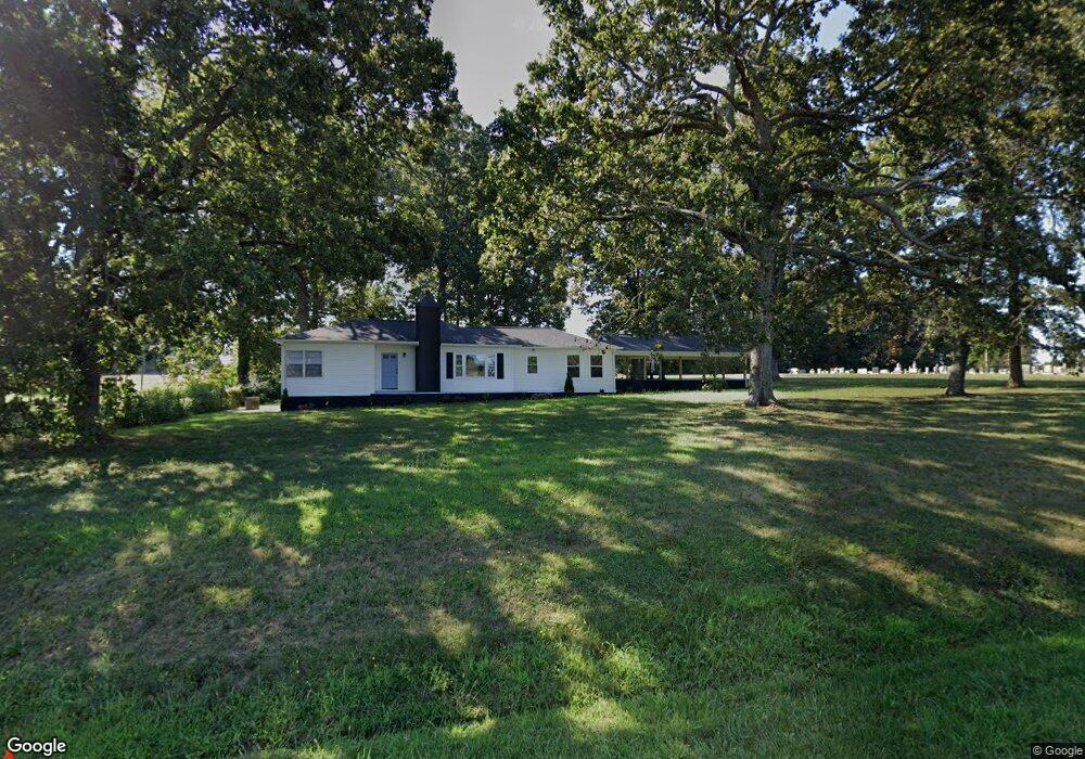
4025 Highway 182 Crouse, NC 28033
Estimated Value: $282,000 - $351,000
3
Beds
2
Baths
1,468
Sq Ft
$218/Sq Ft
Est. Value
About This Home
This home is located at 4025 Highway 182, Crouse, NC 28033 and is currently estimated at $320,423, approximately $218 per square foot. 4025 Highway 182 is a home located in Lincoln County with nearby schools including Norris S. Childers Elementary School, West Lincoln Middle, and West Lincoln High School.
Ownership History
Date
Name
Owned For
Owner Type
Purchase Details
Closed on
Sep 7, 2023
Sold by
Clean Slate Properties Llc
Bought by
Skidmore Ashley N
Current Estimated Value
Home Financials for this Owner
Home Financials are based on the most recent Mortgage that was taken out on this home.
Original Mortgage
$314,032
Outstanding Balance
$307,182
Interest Rate
6.81%
Mortgage Type
VA
Estimated Equity
$13,241
Purchase Details
Closed on
Mar 13, 2023
Sold by
Smart Offer Llc
Bought by
Investcar Llc
Purchase Details
Closed on
Mar 8, 2023
Sold by
Investcar Llc
Bought by
Clean Slate Properties Llc
Purchase Details
Closed on
Apr 3, 2008
Sold by
Hoover Tony and Hoover Deborah
Bought by
Leonhardt Harold D
Create a Home Valuation Report for This Property
The Home Valuation Report is an in-depth analysis detailing your home's value as well as a comparison with similar homes in the area
Purchase History
| Date | Buyer | Sale Price | Title Company |
|---|---|---|---|
| Skidmore Ashley N | -- | None Listed On Document | |
| Skidmore Ashley N | $304,000 | None Listed On Document | |
| Investcar Llc | $97,000 | -- | |
| Smart Offer Llc | $90,000 | -- | |
| Clean Slate Properties Llc | $105,000 | -- | |
| Leonhardt Harold D | $66,000 | None Available |
Source: Public Records
Mortgage History
| Date | Status | Borrower | Loan Amount |
|---|---|---|---|
| Open | Skidmore Ashley N | $314,032 | |
| Closed | Skidmore Ashley N | $314,032 |
Source: Public Records
Tax History
| Year | Tax Paid | Tax Assessment Tax Assessment Total Assessment is a certain percentage of the fair market value that is determined by local assessors to be the total taxable value of land and additions on the property. | Land | Improvement |
|---|---|---|---|---|
| 2025 | $1,796 | $260,949 | $26,352 | $234,597 |
| 2024 | $1,776 | $260,949 | $26,352 | $234,597 |
| 2023 | $1,374 | $197,640 | $26,352 | $171,288 |
| 2022 | $977 | $114,214 | $20,764 | $93,450 |
| 2021 | $977 | $114,214 | $20,764 | $93,450 |
| 2020 | $839 | $114,214 | $20,764 | $93,450 |
| 2019 | $839 | $114,214 | $20,764 | $93,450 |
| 2018 | $788 | $93,670 | $17,410 | $76,260 |
| 2017 | $687 | $93,670 | $17,410 | $76,260 |
| 2016 | $687 | $93,670 | $17,410 | $76,260 |
| 2015 | $757 | $93,670 | $17,410 | $76,260 |
| 2014 | $747 | $94,464 | $18,204 | $76,260 |
Source: Public Records
Map
Nearby Homes
- 0000 Shoal Rd
- 5740 Crouse Rd
- 7124 Old Hickory Ln
- 5199 Helms End of Trail
- 946 Shoal Rd
- 4850 Gideon Dr
- 5159 Flay Rd
- 4832 Gideon Dr
- 000 Leonards Fork Church Rd
- 1000 Creekside Dr
- 3051 Shoal Rd
- 1357 Malden Ct
- 520 Shoal Rd
- 3316 Evondale Rd
- 00 Arrow St Unit 38
- 1074 Lyndsey Brook Ct
- 3103 Richview Dr
- 110 Alf Hoover Rd
- 3987 W Highway 27
- 00 Westwinds Rd Unit F3
- 4025 N Carolina 182
- 1869 Shoal Rd
- 4010 Highway 182
- 1805 Shoal Rd
- 3987 Highway 182
- 4060 Highway 182
- 3970 Highway 182
- 1920 Johnstown Rd
- 4077 Highway 182
- 3963 Highway 182
- 4077 Highway 182
- 1901 Shoal Rd
- 1940 Johnstown Rd
- 1903 Shoal Rd
- 4093 Highway 182
- 1958 Johnstown Rd
- 1962 Johnstown Rd
- 3940 Highway 182
- 4105 Highway 182
- 00 Johnstown Rd
Your Personal Tour Guide
Ask me questions while you tour the home.