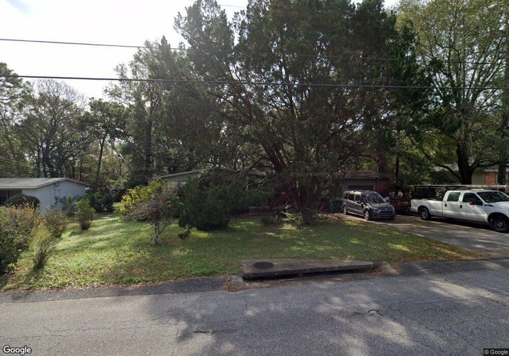
4025 Michael Blvd Mobile, AL 36609
Jackson Heights NeighborhoodEstimated Value: $172,239 - $197,000
3
Beds
2
Baths
1,582
Sq Ft
$116/Sq Ft
Est. Value
About This Home
This home is located at 4025 Michael Blvd, Mobile, AL 36609 and is currently estimated at $183,060, approximately $115 per square foot. 4025 Michael Blvd is a home located in Mobile County with nearby schools including Elizabeth Fonde Elementary School, Chastang-Fournier K-8 School, and WP Davidson High School.
Ownership History
Date
Name
Owned For
Owner Type
Purchase Details
Closed on
Sep 19, 2011
Sold by
Johnson Taylor Juanita I
Bought by
Griffin Richard Alan
Current Estimated Value
Home Financials for this Owner
Home Financials are based on the most recent Mortgage that was taken out on this home.
Original Mortgage
$100,000
Outstanding Balance
$67,860
Interest Rate
4.3%
Mortgage Type
Seller Take Back
Estimated Equity
$115,200
Create a Home Valuation Report for This Property
The Home Valuation Report is an in-depth analysis detailing your home's value as well as a comparison with similar homes in the area
Home Values in the Area
Average Home Value in this Area
Purchase History
| Date | Buyer | Sale Price | Title Company |
|---|---|---|---|
| Griffin Richard Alan | $100,000 | None Available |
Source: Public Records
Mortgage History
| Date | Status | Borrower | Loan Amount |
|---|---|---|---|
| Open | Griffin Richard Alan | $100,000 |
Source: Public Records
Tax History
| Year | Tax Paid | Tax Assessment Tax Assessment Total Assessment is a certain percentage of the fair market value that is determined by local assessors to be the total taxable value of land and additions on the property. | Land | Improvement |
|---|---|---|---|---|
| 2025 | $827 | $14,140 | $2,800 | $11,340 |
| 2024 | $827 | $13,020 | $2,800 | $10,220 |
| 2023 | $770 | $13,370 | $2,800 | $10,570 |
| 2022 | $659 | $11,430 | $3,000 | $8,430 |
| 2021 | $581 | $10,180 | $2,500 | $7,680 |
| 2020 | $581 | $10,180 | $2,500 | $7,680 |
| 2019 | $554 | $9,780 | $0 | $0 |
| 2018 | $554 | $9,780 | $0 | $0 |
| 2017 | $550 | $9,720 | $0 | $0 |
| 2016 | $564 | $9,940 | $0 | $0 |
| 2013 | $562 | $8,740 | $0 | $0 |
Source: Public Records
Map
Nearby Homes
- 363 Mcqueen Ave
- 306 Thornton Place
- 308 Mcqueen Ave
- 728 Spring Station Rd
- 421 Mcqueen Ave
- 712 Spring Station Rd
- 4059 Airport Blvd
- 4126 Springdale Rd
- 4131 Springdale Rd
- 603 Thornton Place
- 0 Bellevue Ln
- 251 Larkspur St
- 0 Winnie Way
- 3983 Wimbledon Park
- 409 Byron Ave E
- 812 Downtowner Loop W
- 213 Lakewood Dr W
- 3972 Wimbledon Park
- 309 Byron Ave W
- 4365 Downtowner Loop S
- 4023 Michael Blvd
- 4021 Michael Blvd
- 4029 Michael Blvd
- 4104 Bourgeois Dr
- 4108 Bourgeois Dr
- 4100 Bourgeois Dr
- 326 Dawn Place
- 4112 Bourgeois Dr
- 4014 Bourgeois Dr
- 4019 Michael Blvd
- 350 Thornton Place
- 320 Dawn Place
- 321 Dawn Place
- 325 Thornton Place
- 4010 Bourgeois Dr
- 354 Thornton Place
- 4017 Michael Blvd
- 326 Bomar Place
- 321 Thornton Place
- 316 Dawn Place
Your Personal Tour Guide
Ask me questions while you tour the home.