40251 State Route 20 Oak Harbor, WA 98277
Estimated Value: $629,000 - $722,310
4
Beds
4
Baths
2,835
Sq Ft
$237/Sq Ft
Est. Value
About This Home
This home is located at 40251 State Route 20, Oak Harbor, WA 98277 and is currently estimated at $672,078, approximately $237 per square foot. 40251 State Route 20 is a home with nearby schools including Crescent Harbor Elementary School, North Whidbey Middle School, and Oak Harbor High School.
Ownership History
Date
Name
Owned For
Owner Type
Purchase Details
Closed on
Apr 15, 2024
Sold by
Hoffman Dustin and Hoffman Tiffany
Bought by
Sitko Family Farm Llc
Current Estimated Value
Purchase Details
Closed on
May 25, 2012
Sold by
Schleipman David M
Bought by
Schleipman Heather L
Purchase Details
Closed on
Nov 21, 2005
Sold by
Sitko John A and Sitko Rollanda E
Bought by
Schleipman David M and Schleipman Heather L
Home Financials for this Owner
Home Financials are based on the most recent Mortgage that was taken out on this home.
Original Mortgage
$56,420
Interest Rate
5.97%
Mortgage Type
Stand Alone Second
Purchase Details
Closed on
Aug 19, 2005
Sold by
Sitko John A and Sitko Rollanda E
Bought by
State Of Washington
Create a Home Valuation Report for This Property
The Home Valuation Report is an in-depth analysis detailing your home's value as well as a comparison with similar homes in the area
Home Values in the Area
Average Home Value in this Area
Purchase History
| Date | Buyer | Sale Price | Title Company |
|---|---|---|---|
| Sitko Family Farm Llc | $11,698 | Chicago Title | |
| Schleipman Heather L | -- | None Available | |
| Schleipman David M | $282,100 | -- | |
| State Of Washington | -- | -- |
Source: Public Records
Mortgage History
| Date | Status | Borrower | Loan Amount |
|---|---|---|---|
| Previous Owner | Schleipman David M | $56,420 |
Source: Public Records
Tax History Compared to Growth
Tax History
| Year | Tax Paid | Tax Assessment Tax Assessment Total Assessment is a certain percentage of the fair market value that is determined by local assessors to be the total taxable value of land and additions on the property. | Land | Improvement |
|---|---|---|---|---|
| 2025 | $5,003 | $714,346 | $300,000 | $414,346 |
| 2024 | $4,949 | $706,385 | $280,000 | $426,385 |
| 2023 | $4,949 | $702,677 | $270,000 | $432,677 |
| 2022 | $5,339 | $625,119 | $240,000 | $385,119 |
| 2021 | $4,911 | $516,143 | $175,000 | $341,143 |
| 2020 | $4,603 | $473,665 | $140,000 | $333,665 |
| 2019 | $3,991 | $447,208 | $200,000 | $247,208 |
| 2018 | $4,160 | $423,081 | $175,000 | $248,081 |
| 2017 | $3,039 | $389,810 | $140,000 | $249,810 |
| 2016 | $2,981 | $303,116 | $140,000 | $163,116 |
| 2015 | -- | $286,689 | $120,000 | $166,689 |
| 2013 | -- | $271,408 | $102,375 | $169,033 |
Source: Public Records
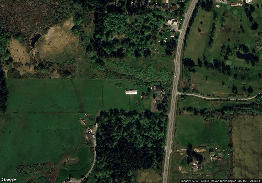
Map
Nearby Homes
- 634 Littlerock Ct
- 4904 Deception Cir
- 5002 Deception Cir
- 4689 Surfcrest Dr
- 38 A Surfcrest Dr
- 4749 Surfcrest Dr
- 4951 Surfcrest Dr
- 4693 Surfcrest Dr
- 4397 Terrace Dr
- 4374 Northgate Dr
- 4357 Hunter Ln
- 4325 Northgate Dr
- 4340 Hamilton Dr
- 4318 Rhododendron Dr
- 285 Cornet Bay Rd
- 4281 Northgate Dr
- 4251 Hollydale Ln
- 4261 Northgate Dr
- 685 Tidewater Rd
- 486 W Henni Rd
- 40409 Sr 20
- 40409 State Route 20
- 40206 Sr 20
- 40206 Washington 20
- 667 Cranberry Dr
- 673 Cranberry Dr
- 687 Cranberry Dr
- 691 Cranberry Dr
- 657 Cranberry Dr
- 676 Kennel Ln
- 0 Cranberry Dr
- 645 Cranberry Dr
- 40219 Sr 20
- 40184 State Route 20
- 668 Cranberry Dr
- 684 Cranberry Dr
- 690 Cranberry Dr
- 660 Cranberry Dr
- 637 Cranberry Dr