40255 Highway 59b Macomb, OK 74852
Estimated Value: $146,871
3
Beds
2
Baths
1,468
Sq Ft
$100/Sq Ft
Est. Value
About This Home
This home is located at 40255 Highway 59b, Macomb, OK 74852 and is currently priced at $146,871, approximately $100 per square foot. 40255 Highway 59b is a home located in Pottawatomie County with nearby schools including Macomb Elementary School and Macomb High School.
Ownership History
Date
Name
Owned For
Owner Type
Purchase Details
Closed on
Dec 4, 2020
Sold by
Wilson Billie Ruth
Bought by
Melrose46 Llc
Current Estimated Value
Home Financials for this Owner
Home Financials are based on the most recent Mortgage that was taken out on this home.
Original Mortgage
$250,000
Interest Rate
2.19%
Mortgage Type
New Conventional
Purchase Details
Closed on
Sep 28, 2018
Sold by
Wilson Loyd Randall and Wilson Billie Ruth
Bought by
Ramsey Russel and Ramsey Dakota
Home Financials for this Owner
Home Financials are based on the most recent Mortgage that was taken out on this home.
Original Mortgage
$98,188
Interest Rate
5.25%
Mortgage Type
FHA
Create a Home Valuation Report for This Property
The Home Valuation Report is an in-depth analysis detailing your home's value as well as a comparison with similar homes in the area
Home Values in the Area
Average Home Value in this Area
Purchase History
| Date | Buyer | Sale Price | Title Company |
|---|---|---|---|
| Melrose46 Llc | $500,000 | Old Republic Title | |
| Ramsey Russel | $100,000 | Chcice Title Ins |
Source: Public Records
Mortgage History
| Date | Status | Borrower | Loan Amount |
|---|---|---|---|
| Closed | Melrose46 Llc | $250,000 | |
| Closed | Melrose46 Llc | $500,000 | |
| Previous Owner | Ramsey Russel | $98,188 |
Source: Public Records
Tax History Compared to Growth
Tax History
| Year | Tax Paid | Tax Assessment Tax Assessment Total Assessment is a certain percentage of the fair market value that is determined by local assessors to be the total taxable value of land and additions on the property. | Land | Improvement |
|---|---|---|---|---|
| 2021 | $192 | $2,428 | $1,640 | $788 |
| 2020 | $192 | $2,428 | $1,640 | $788 |
| 2019 | $192 | $2,428 | $1,640 | $788 |
| 2018 | $611 | $7,731 | $850 | $6,881 |
| 2017 | $594 | $7,507 | $814 | $6,693 |
| 2016 | $576 | $7,289 | $773 | $6,516 |
| 2015 | $559 | $7,076 | $810 | $6,266 |
| 2014 | $543 | $6,869 | $1,659 | $5,210 |
Source: Public Records
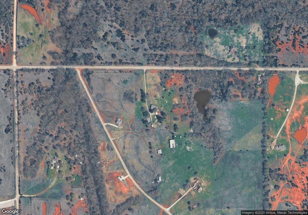
Map
Nearby Homes
- 28275 Harrison Rd
- 40326 Romulus Rd
- 0002 Romulus Rd
- 0 Coker Rd
- 0 N338 Rd
- 30310 Skagg City Rd
- 000 Sing Rd
- 0 Gaddy Rd
- 40670 Oklahoma 59b
- 0000 Oklahoma 59b
- 37271 Romulus Rd
- 0000 SW Rattlesnake Hill Rd
- 0001 Andrson Rd
- 39811 Anderson Rd
- 0 Sewell Ave
- 45206 Fairview Rd
- 0000 Gaddy Rd
- 0000 Brangus Rd
- 26559 White Oaks Ln
- TBD Tract 1 & 2 E1262 Rd
- 40255 Highway 59b
- 00 Arrowhead 23 Acres Rd
- 0 State Highway 59b Unit 1005445
- 00 Arrowhead 17 Acres Rd
- 0 Highway 59b - 229 Acres
- 40483 Highway 59b
- 40557 Highway 59b
- 29532 Arrowhead Rd
- 40255 Arrowhead Rd
- 39891 Highway 59b
- 28833 Leo Rd Unit MAC
- 27800 Old Highway 18
- 27840 Old Highway 18
- 39846 Highway 59b
- 28702 Leo Rd
- 39689 Highway 59b
- 29599 Leo Rd
- 40925 Highway 59b
- 0 Ok-59b Unit 1081273