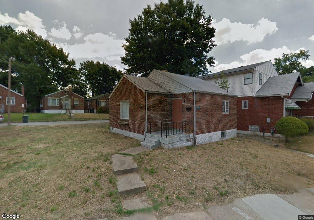
4026 Darby St Saint Louis, MO 63120
Estimated Value: $41,000 - $85,000
--
Bed
1
Bath
1,408
Sq Ft
$38/Sq Ft
Est. Value
About This Home
This home is located at 4026 Darby St, Saint Louis, MO 63120 and is currently estimated at $54,095, approximately $38 per square foot. 4026 Darby St is a home located in St. Louis City with nearby schools including Laclede Elementary School, Sumner High School, and St. Ann Catholic School.
Ownership History
Date
Name
Owned For
Owner Type
Purchase Details
Closed on
Sep 21, 2023
Sold by
Evans Mary K
Bought by
Mitchell Jason G
Current Estimated Value
Purchase Details
Closed on
Mar 21, 2016
Sold by
Land Reutilization Authority Of The City
Bought by
Evans Mark K
Purchase Details
Closed on
Jun 24, 2013
Sold by
Land Reutilization Authority Of The City
Bought by
Evans Mary K
Purchase Details
Closed on
Dec 18, 2012
Sold by
City Of St Louis
Bought by
The Land Reutilization Authority Of The
Purchase Details
Closed on
Jun 2, 2004
Sold by
Federal Home Loan Mortgage Corporation
Bought by
Bryant Jermaine
Purchase Details
Closed on
Mar 12, 2004
Sold by
Keller Erroll D
Bought by
Federal Home Loan Mortgage Corporation
Create a Home Valuation Report for This Property
The Home Valuation Report is an in-depth analysis detailing your home's value as well as a comparison with similar homes in the area
Home Values in the Area
Average Home Value in this Area
Purchase History
| Date | Buyer | Sale Price | Title Company |
|---|---|---|---|
| Mitchell Jason G | $2,000 | None Listed On Document | |
| Evans Mark K | -- | None Available | |
| Evans Mary K | $3,500 | None Available | |
| The Land Reutilization Authority Of The | -- | None Available | |
| Bryant Jermaine | -- | U S Title | |
| Federal Home Loan Mortgage Corporation | $29,442 | -- |
Source: Public Records
Tax History Compared to Growth
Tax History
| Year | Tax Paid | Tax Assessment Tax Assessment Total Assessment is a certain percentage of the fair market value that is determined by local assessors to be the total taxable value of land and additions on the property. | Land | Improvement |
|---|---|---|---|---|
| 2025 | $219 | $2,350 | $400 | $1,950 |
| 2024 | $209 | $2,280 | $400 | $1,880 |
| 2023 | $209 | $2,280 | $400 | $1,880 |
| 2022 | $211 | $2,210 | $400 | $1,810 |
| 2021 | $210 | $2,210 | $400 | $1,810 |
| 2020 | $213 | $2,260 | $400 | $1,860 |
| 2019 | $212 | $2,260 | $400 | $1,860 |
| 2018 | $247 | $2,600 | $400 | $2,200 |
| 2017 | $243 | $2,600 | $400 | $2,200 |
| 2016 | $329 | $3,590 | $950 | $2,640 |
| 2015 | $300 | $3,590 | $950 | $2,640 |
| 2014 | $359 | $3,590 | $950 | $2,640 |
| 2013 | -- | $4,370 | $950 | $3,420 |
Source: Public Records
Map
Nearby Homes
- 4310 Dardenne Dr
- 5817 Dressell Ave
- 6124 Otto Ave
- 6128 Bircher St
- 6231 Dardanella Ave
- 4206 Rosewood Ave
- 34 Blakemore Place
- 2505 Crescent Ave
- 3438 Pine Grove Ave
- 6211 Westerhoff Ave
- 4230 Jennings Station Rd
- 3460 Oakdale Ave
- 4232 Jennings Station Rd
- 3429 Pine Grove Ave
- 3442 Oakdale Ave
- 6206 Lorraine Ave
- 3604 Ridgedale Ave
- 4211 Ravenwood Ave
- 4218 Edgewood Blvd
- 6604 Hazen Ave
- 4022 Darby St
- 6013 Margaretta Ave
- 5977 Mcarthur Ave
- 4029 Darby St
- 5981 Mcarthur Ave
- 4018 Darby St
- 4027 Darby St
- 5973 McArthur (Big Bonus!!) Ave
- 4037 Darby St
- 5973 Mcarthur Ave
- 4023 Darby St
- 5985 Mcarthur Ave
- 5969 Mcarthur Ave
- 4041 Darby St
- 5962 Mcarthur Ave
- 4019 Darby St
- 5965 Mcarthur Ave
- 4042 Darby St
- 4045 Darby St
- 5961 Mcarthur Ave