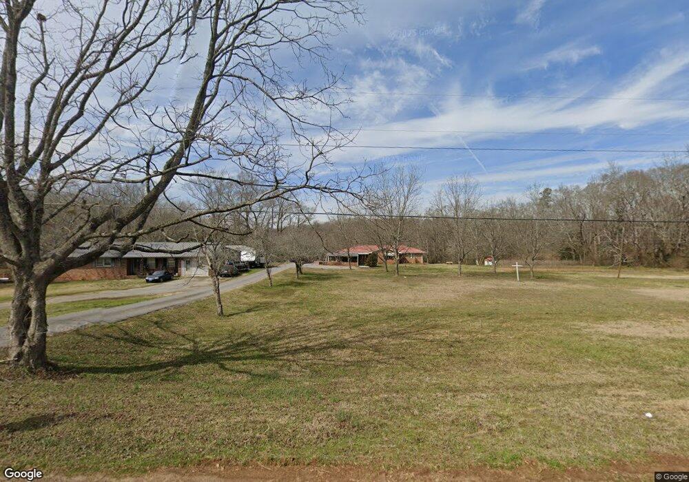
4026 Highway 29 S Colbert, GA 30628
Estimated Value: $241,000 - $331,462
--
Bed
2
Baths
1,384
Sq Ft
$218/Sq Ft
Est. Value
About This Home
This home is located at 4026 Highway 29 S, Colbert, GA 30628 and is currently estimated at $301,866, approximately $218 per square foot. 4026 Highway 29 S is a home located in Madison County with nearby schools including Madison County High School.
Ownership History
Date
Name
Owned For
Owner Type
Purchase Details
Closed on
Apr 18, 2024
Sold by
Browning Robert Anthony
Bought by
Browning Robert Anthony and Browning Susan Grace
Current Estimated Value
Purchase Details
Closed on
Feb 2, 2017
Sold by
Browning Clarence Millard
Bought by
Browning Robert Anthony
Purchase Details
Closed on
May 23, 2013
Sold by
Browning Lillie Ruth
Bought by
Browning Clarence Millard and Browning James Darrell
Purchase Details
Closed on
Jul 28, 1993
Sold by
Brownig Horae Millard
Bought by
Browning Lillie Ruth
Create a Home Valuation Report for This Property
The Home Valuation Report is an in-depth analysis detailing your home's value as well as a comparison with similar homes in the area
Home Values in the Area
Average Home Value in this Area
Purchase History
| Date | Buyer | Sale Price | Title Company |
|---|---|---|---|
| Browning Robert Anthony | -- | -- | |
| Browning Robert Anthony | $30,000 | -- | |
| Browning Clarence Millard | -- | -- | |
| Browning Lillie Ruth | -- | -- |
Source: Public Records
Tax History Compared to Growth
Tax History
| Year | Tax Paid | Tax Assessment Tax Assessment Total Assessment is a certain percentage of the fair market value that is determined by local assessors to be the total taxable value of land and additions on the property. | Land | Improvement |
|---|---|---|---|---|
| 2024 | $1,177 | $113,421 | $72,711 | $40,710 |
| 2023 | $1,779 | $104,362 | $60,592 | $43,770 |
| 2022 | $1,787 | $81,030 | $41,658 | $39,372 |
| 2021 | $2,070 | $77,810 | $41,658 | $36,152 |
| 2020 | $1,094 | $71,751 | $35,599 | $36,152 |
| 2019 | $1,089 | $71,107 | $35,599 | $35,508 |
| 2018 | $1,295 | $67,092 | $32,570 | $34,522 |
| 2017 | $1,762 | $61,188 | $30,296 | $30,892 |
| 2016 | $875 | $57,286 | $30,296 | $26,990 |
| 2015 | $871 | $57,286 | $30,296 | $26,990 |
| 2014 | $857 | $53,747 | $27,267 | $26,480 |
| 2013 | -- | $53,747 | $27,267 | $26,480 |
Source: Public Records
Map
Nearby Homes
- 3965 Highway 29 S
- 0 Kincaid Cemetery Rd Unit 10626668
- 0 Kincaid Cemetery Rd Unit 7662961
- 0 Kincaid Cemetery Rd Unit CL341804
- 614 Holman-Autry Rd
- 0 Old Kincaid Rd Unit CL336310
- 0 Old Kincaid Rd Unit 10582354
- 1330 McCannon-morris Rd
- 2888 Moons Grove Church Rd
- 1625 Highway 29 S
- 1270 McCannon Morris Rd
- 14 Sourwood Trail Unit 53
- 208 Redbud Trail Unit 48
- 6716 U S 29
- 465 Stone Creek Dr
- 905 Adams Duncan Rd
- 77 Sugar Maple Way Unit 44
- 45 Sugar Maple Way Unit 43
- 7241 Highway 29 S
- 4038 Highway 29 S
- 4084 Highway 29 S
- 4102 Highway 29 S
- 3993 Highway 29 S
- 3946 Highway 29 S
- 4011 Highway 29 S
- 4102 U S 29
- 4039 Highway 29 S
- 4039 U S 29
- 3965 U S 29
- 4106 U S 29
- 4106 Highway 29 S
- 40 Archer Rd
- 3880 Highway 29 S
- 4095 Highway 29 S
- 4154 U S 29
- 4154 Highway 29 S
- 80 Archer Rd
- 3840 Highway 29 S
- 4105 Highway 29 S