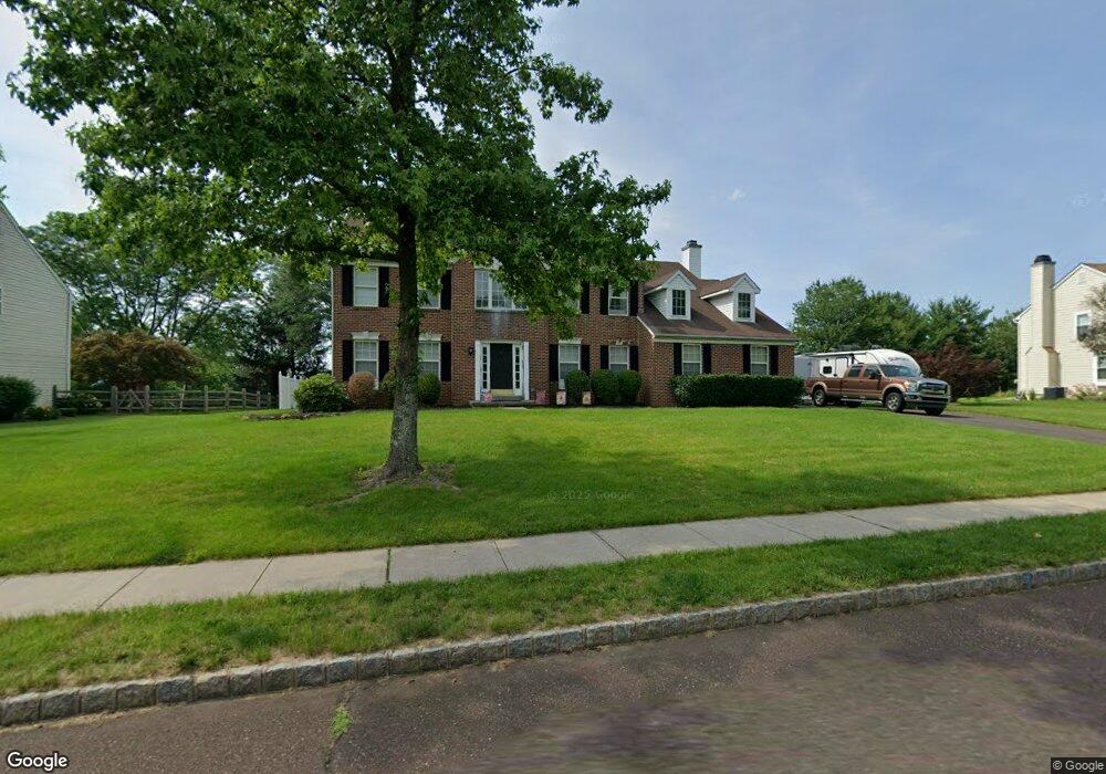
4026 Miriam Dr Doylestown, PA 18902
Plumstead NeighborhoodEstimated Value: $784,000 - $829,290
4
Beds
3
Baths
3,280
Sq Ft
$245/Sq Ft
Est. Value
About This Home
This home is located at 4026 Miriam Dr, Doylestown, PA 18902 and is currently estimated at $803,823, approximately $245 per square foot. 4026 Miriam Dr is a home located in Bucks County with nearby schools including Groveland Elementary School, Tohickon Middle School, and Central Bucks High School-West.
Ownership History
Date
Name
Owned For
Owner Type
Purchase Details
Closed on
Feb 28, 2002
Sold by
Spencer Dale A and Spencer Korin G
Bought by
Madden Joseph S and Madden Giuliana
Current Estimated Value
Home Financials for this Owner
Home Financials are based on the most recent Mortgage that was taken out on this home.
Original Mortgage
$230,000
Outstanding Balance
$95,739
Interest Rate
7.01%
Estimated Equity
$708,084
Purchase Details
Closed on
Jan 17, 2000
Sold by
Landis Greene North Lp
Bought by
Spencer Dale A and Spencer Korin G
Home Financials for this Owner
Home Financials are based on the most recent Mortgage that was taken out on this home.
Original Mortgage
$28,200
Interest Rate
7.7%
Mortgage Type
Stand Alone Second
Create a Home Valuation Report for This Property
The Home Valuation Report is an in-depth analysis detailing your home's value as well as a comparison with similar homes in the area
Home Values in the Area
Average Home Value in this Area
Purchase History
| Date | Buyer | Sale Price | Title Company |
|---|---|---|---|
| Madden Joseph S | $334,000 | -- | |
| Spencer Dale A | $282,730 | -- |
Source: Public Records
Mortgage History
| Date | Status | Borrower | Loan Amount |
|---|---|---|---|
| Open | Madden Joseph S | $230,000 | |
| Previous Owner | Spencer Dale A | $28,200 | |
| Closed | Spencer Dale A | $226,150 |
Source: Public Records
Tax History Compared to Growth
Tax History
| Year | Tax Paid | Tax Assessment Tax Assessment Total Assessment is a certain percentage of the fair market value that is determined by local assessors to be the total taxable value of land and additions on the property. | Land | Improvement |
|---|---|---|---|---|
| 2025 | $9,285 | $53,440 | $5,520 | $47,920 |
| 2024 | $9,285 | $53,440 | $5,520 | $47,920 |
| 2023 | $8,990 | $53,440 | $5,520 | $47,920 |
| 2022 | $8,890 | $53,440 | $5,520 | $47,920 |
| 2021 | $8,790 | $53,440 | $5,520 | $47,920 |
| 2020 | $8,790 | $53,440 | $5,520 | $47,920 |
| 2019 | $8,737 | $53,440 | $5,520 | $47,920 |
| 2018 | $8,737 | $53,440 | $5,520 | $47,920 |
| 2017 | $8,617 | $53,440 | $5,520 | $47,920 |
| 2016 | $8,617 | $53,440 | $5,520 | $47,920 |
| 2015 | -- | $53,440 | $5,520 | $47,920 |
| 2014 | -- | $53,440 | $5,520 | $47,920 |
Source: Public Records
Map
Nearby Homes
- 4000 Miriam Dr
- 1222 Hockley Dr
- 1214 Hockley Dr
- 204 Pennland Farm Dr
- 3789 Stump Rd
- 319 Pennington Way
- 81 Williams Dr
- Lot 10 Schadle Rd
- 316 Schadle Rd
- 4811 Lincoln Aly
- 17 Ruhl Dr
- 137 S Main St
- 238 Allem Ln Unit 238
- 116 Bishop Way
- 135 Bishop Way
- 5068 Kratz Carriage Rd
- 178 Elephant Rd Unit C26
- 178 Elephant Rd Unit A6
- 169 Marlyn Ln
- Lot 6 Henry Ct