4027 Alexander Dr Mays Landing, NJ 08330
Estimated Value: $489,349 - $570,000
--
Bed
--
Bath
3,088
Sq Ft
$172/Sq Ft
Est. Value
About This Home
This home is located at 4027 Alexander Dr, Mays Landing, NJ 08330 and is currently estimated at $530,116, approximately $171 per square foot. 4027 Alexander Dr is a home located in Atlantic County with nearby schools including George L. Hess Educational Complex, Joseph Shaner School, and William Davies Middle School.
Ownership History
Date
Name
Owned For
Owner Type
Purchase Details
Closed on
Sep 27, 1996
Sold by
Brienza Miguel
Bought by
Brienza Diane R
Current Estimated Value
Home Financials for this Owner
Home Financials are based on the most recent Mortgage that was taken out on this home.
Original Mortgage
$130,000
Outstanding Balance
$11,904
Interest Rate
8.06%
Estimated Equity
$518,212
Purchase Details
Closed on
Apr 12, 1995
Sold by
Ole Hansen & Sons Inc
Bought by
Brienza Diane R
Create a Home Valuation Report for This Property
The Home Valuation Report is an in-depth analysis detailing your home's value as well as a comparison with similar homes in the area
Home Values in the Area
Average Home Value in this Area
Purchase History
| Date | Buyer | Sale Price | Title Company |
|---|---|---|---|
| Brienza Diane R | -- | The Title Company | |
| Brienza Diane R | $42,000 | -- |
Source: Public Records
Mortgage History
| Date | Status | Borrower | Loan Amount |
|---|---|---|---|
| Open | Brienza Diane R | $130,000 |
Source: Public Records
Tax History Compared to Growth
Tax History
| Year | Tax Paid | Tax Assessment Tax Assessment Total Assessment is a certain percentage of the fair market value that is determined by local assessors to be the total taxable value of land and additions on the property. | Land | Improvement |
|---|---|---|---|---|
| 2025 | $9,868 | $287,600 | $73,000 | $214,600 |
| 2024 | $9,868 | $287,600 | $73,000 | $214,600 |
| 2023 | $9,278 | $287,600 | $73,000 | $214,600 |
| 2022 | $9,278 | $287,600 | $73,000 | $214,600 |
| 2021 | $9,258 | $287,600 | $73,000 | $214,600 |
| 2020 | $9,258 | $287,600 | $73,000 | $214,600 |
| 2019 | $9,281 | $287,600 | $73,000 | $214,600 |
| 2018 | $8,956 | $287,600 | $73,000 | $214,600 |
| 2017 | $8,815 | $287,600 | $73,000 | $214,600 |
| 2016 | $8,568 | $287,600 | $73,000 | $214,600 |
| 2015 | $8,277 | $287,600 | $73,000 | $214,600 |
| 2014 | $8,196 | $312,000 | $80,000 | $232,000 |
Source: Public Records
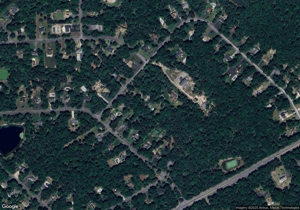
Map
Nearby Homes
- 2580 Wrangleboro Rd
- 2425 Lahn Ln
- 2614 Canyon Ct
- 3137 Woodlands Dr Unit 3137
- 3514 Woodlands Dr Unit 51
- 4127 Black Horse Pike
- 3110 Woodlands Dr
- 3054 Ivy Bush Ct Unit 515
- 2725 Mimosa Ct
- 3017 Ivy Bush Ct Unit 3017
- 3221 Juniper Ct Unit C0058
- 3045 Ivy Bush Ct Unit C0021
- 2731 Mimosa Ct
- 2614 Cologne Ave
- 2626 Nutmeg Ct Unit 385
- 16 Rue Chagall
- 3025 Ivy Bush Ct
- 7 Renaissance Dr
- 8 Rembrandt Way
- 2501 Oleander Ct Unit 3412