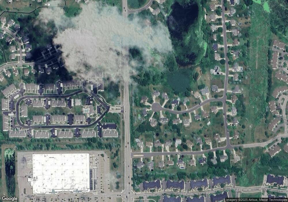
4027 Brookstone Ct Howell, MI 48843
Estimated Value: $465,000 - $489,000
Studio
1
Bath
2,664
Sq Ft
$179/Sq Ft
Est. Value
About This Home
This home is located at 4027 Brookstone Ct, Howell, MI 48843 and is currently estimated at $476,500, approximately $178 per square foot. 4027 Brookstone Ct is a home located in Livingston County with nearby schools including Ruahmah J. Hutchings Elementary, Parker Middle School, and Howell High School.
Ownership History
Date
Name
Owned For
Owner Type
Purchase Details
Closed on
Aug 31, 2002
Sold by
Ohrt John H
Bought by
Ohrt John H and Mack Lynne
Current Estimated Value
Home Financials for this Owner
Home Financials are based on the most recent Mortgage that was taken out on this home.
Original Mortgage
$79,000
Interest Rate
6.54%
Mortgage Type
Balloon
Purchase Details
Closed on
Aug 15, 2002
Sold by
Mack Lynne
Bought by
Ohrt John H
Home Financials for this Owner
Home Financials are based on the most recent Mortgage that was taken out on this home.
Original Mortgage
$79,000
Interest Rate
6.54%
Mortgage Type
Balloon
Create a Home Valuation Report for This Property
The Home Valuation Report is an in-depth analysis detailing your home's value as well as a comparison with similar homes in the area
Home Values in the Area
Average Home Value in this Area
Purchase History
| Date | Buyer | Sale Price | Title Company |
|---|---|---|---|
| Ohrt John H | -- | Landmark Title Services Inc | |
| Ohrt John H | -- | Landmark Title Services |
Source: Public Records
Mortgage History
| Date | Status | Borrower | Loan Amount |
|---|---|---|---|
| Closed | Ohrt John H | $79,000 |
Source: Public Records
Tax History
| Year | Tax Paid | Tax Assessment Tax Assessment Total Assessment is a certain percentage of the fair market value that is determined by local assessors to be the total taxable value of land and additions on the property. | Land | Improvement |
|---|---|---|---|---|
| 2025 | $2,145 | $221,600 | $0 | $0 |
| 2024 | $2,084 | $198,500 | $0 | $0 |
| 2023 | $1,990 | $180,000 | $0 | $0 |
| 2022 | $2,820 | $139,700 | $0 | $0 |
| 2021 | $2,786 | $170,900 | $0 | $0 |
| 2020 | $2,793 | $148,400 | $0 | $0 |
| 2019 | $2,751 | $139,700 | $0 | $0 |
| 2018 | $2,653 | $125,300 | $0 | $0 |
| 2017 | $2,569 | $125,300 | $0 | $0 |
| 2016 | $2,607 | $123,400 | $0 | $0 |
| 2014 | $2,542 | $112,000 | $0 | $0 |
| 2012 | $2,542 | $98,100 | $0 | $0 |
Source: Public Records
Map
Nearby Homes
- 3800 Snowden Ln
- 4030 Kirkway Ct Unit 125
- 467 Lilly View Ct Unit 54
- 4516 Willow View Ct Unit 17
- VL E Grand River N
- 1008 Sunrise Park St
- 311 Bozeman Ct
- 327 Bozeman Ct
- 1268 Boulevard Dr
- 1146 Sunrise Park St
- 636 Zion Ct
- 00 Beck Rd
- 2830 E Grand River Ave
- 3991 Rainier Dr Unit 1
- 2756 Turning Leaf Dr
- 628 Olde Ivy Ln Unit 22
- 959 Menominee Dr
- 2607 E Grand River Ave
- 5742 Comanche Ln
- 5570 Golf Club Rd
- 4041 Brookstone Ct
- 4028 Brookstone Ct
- 4069 Brookstone Ct
- 4042 Brookstone Ct
- 4070 Brookstone Ct
- 3677 Audrey Rae Ln
- 4087 Brookstone Ct
- 4088 Brookstone Ct
- 4039 Aster Blvd
- 4021 Aster Blvd
- 4109 Brookstone Ct
- 4057 Aster Blvd
- 4075 Aster Blvd
- 4110 Brookstone Ct
- 4131 Brookstone Ct
- 4089 Aster Blvd
- 3932 Snowden Ln
- 3677-3998 Audrey Rae Ln
- 4128 Brookstone Ct
- 3920 Snowden Ln
