Estimated Value: $308,346 - $461,000
Studio
2
Baths
2,688
Sq Ft
$141/Sq Ft
Est. Value
About This Home
This home is located at 4027 Upper River Rd, Gray, GA 31032 and is currently estimated at $379,837, approximately $141 per square foot. 4027 Upper River Rd is a home located in Jones County with nearby schools including Dames Ferry Elementary School, Clifton Ridge Middle School, and Jones County High School.
Ownership History
Date
Name
Owned For
Owner Type
Purchase Details
Closed on
Feb 5, 2025
Sold by
Maurer Doris E
Bought by
Deigle Nora and Maurer Doris E
Current Estimated Value
Purchase Details
Closed on
Apr 10, 2013
Sold by
Maurer Carolyn Sue
Bought by
Maurer Doris E
Home Financials for this Owner
Home Financials are based on the most recent Mortgage that was taken out on this home.
Original Mortgage
$231,350
Interest Rate
3.57%
Mortgage Type
VA
Purchase Details
Closed on
Nov 30, 2006
Sold by
Not Provided
Bought by
Maurer Doris E and Maurer Carolyn S
Home Financials for this Owner
Home Financials are based on the most recent Mortgage that was taken out on this home.
Original Mortgage
$228,800
Interest Rate
6.29%
Mortgage Type
New Conventional
Purchase Details
Closed on
Jan 17, 2001
Sold by
Old South Land & Tim
Bought by
Foster William and Foster Erlene
Purchase Details
Closed on
Aug 17, 2000
Sold by
Lightwood Land Inc
Bought by
Old South Land & Tim
Purchase Details
Closed on
Aug 9, 2000
Bought by
Lightwood Land Inc
Create a Home Valuation Report for This Property
The Home Valuation Report is an in-depth analysis detailing your home's value as well as a comparison with similar homes in the area
Home Values in the Area
Average Home Value in this Area
Purchase History
| Date | Buyer | Sale Price | Title Company |
|---|---|---|---|
| Deigle Nora | -- | -- | |
| Maurer Doris E | -- | -- | |
| Maurer Doris E | $286,000 | -- | |
| Foster William | $30,000 | -- | |
| Old South Land & Tim | $51,000 | -- | |
| Lightwood Land Inc | $44,300 | -- |
Source: Public Records
Mortgage History
| Date | Status | Borrower | Loan Amount |
|---|---|---|---|
| Previous Owner | Maurer Doris E | $231,350 | |
| Previous Owner | Maurer Doris E | $228,800 | |
| Previous Owner | Maurer Doris E | $42,900 |
Source: Public Records
Tax History
| Year | Tax Paid | Tax Assessment Tax Assessment Total Assessment is a certain percentage of the fair market value that is determined by local assessors to be the total taxable value of land and additions on the property. | Land | Improvement |
|---|---|---|---|---|
| 2025 | $4,070 | $136,034 | $24,204 | $111,830 |
| 2024 | $3,226 | $102,764 | $18,618 | $84,146 |
| 2023 | $2,208 | $91,211 | $18,618 | $72,593 |
| 2022 | $2,834 | $90,839 | $18,246 | $72,593 |
| 2021 | $3,134 | $90,839 | $18,246 | $72,593 |
| 2020 | $3,003 | $87,151 | $18,246 | $68,905 |
| 2019 | $3,003 | $87,151 | $18,246 | $68,905 |
| 2018 | $3,003 | $87,151 | $18,246 | $68,905 |
| 2017 | $3,003 | $87,151 | $18,246 | $68,905 |
| 2016 | $3,003 | $87,151 | $18,246 | $68,905 |
| 2015 | $2,837 | $87,151 | $18,246 | $68,905 |
| 2014 | -- | $86,597 | $18,246 | $68,351 |
Source: Public Records
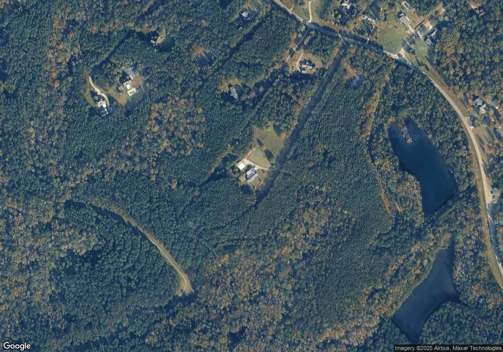
Map
Nearby Homes
- 377 Plentitude Church Rd
- 4156 Upper River (Lots 15 & 16) Rd
- 306 Lakeridge Ct
- 281 River Blvd N
- 4156 Upper River Rd
- 4156 Upper River Rd Unit LOT 15 &16
- 159 River North Blvd
- 238 Brittany Ln
- 4450 Rivercliff Way
- 4477 Rivercliff Way
- 4481 Rivercliff Way
- 161 Fairway Cir
- 616 Whispering Pines Dr
- 279 River North Blvd
- 417 Lakeview Place
- 214 River North Cir
- 4255 Upper River Rd
- 124 Coppergate Ln
- 326 Wimbledon Ct
- 363 River North Blvd
- 4041 Upper River Rd
- 4035 Upper River Rd
- 4053 Upper River Rd
- 441 Summit Dr
- 13 Upper River
- 429 Summit Dr
- 449 Summit Dr
- 4057 Upper River Rd
- 4032 Upper River Rd
- 4048 Upper River Rd
- 4038 Upper River Rd
- 4063 Upper River Rd
- 4026 Upper River Rd
- 4054 Upper River Rd
- 838 Mckay Rd
- 0 Summit Dr Unit 7134324
- 0 Summit Dr Unit M122690
- 4010 Upper River Rd
- 3994 Upper River Rd
- 4066 Upper River Rd
Your Personal Tour Guide
Ask me questions while you tour the home.