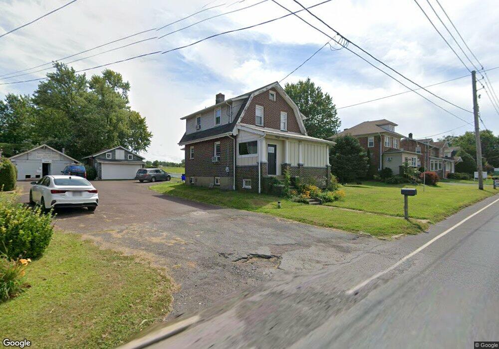
4029 Bethlehem Pike Telford, PA 18969
Estimated Value: $350,000 - $378,629
3
Beds
1
Bath
1,368
Sq Ft
$263/Sq Ft
Est. Value
About This Home
This home is located at 4029 Bethlehem Pike, Telford, PA 18969 and is currently estimated at $360,407, approximately $263 per square foot. 4029 Bethlehem Pike is a home located in Bucks County with nearby schools including Pennridge High School, Souderton Charter School Collaborative, and St. Maria Goretti School.
Ownership History
Date
Name
Owned For
Owner Type
Purchase Details
Closed on
Sep 10, 2008
Sold by
Warden Daniel L
Bought by
Alburger Michael D
Current Estimated Value
Home Financials for this Owner
Home Financials are based on the most recent Mortgage that was taken out on this home.
Original Mortgage
$133,600
Interest Rate
6.58%
Mortgage Type
Purchase Money Mortgage
Purchase Details
Closed on
Sep 15, 1997
Sold by
Odonnell Jean T
Bought by
Warden Daniel L and Warden Colleen H
Create a Home Valuation Report for This Property
The Home Valuation Report is an in-depth analysis detailing your home's value as well as a comparison with similar homes in the area
Home Values in the Area
Average Home Value in this Area
Purchase History
| Date | Buyer | Sale Price | Title Company |
|---|---|---|---|
| Alburger Michael D | $167,000 | None Available | |
| Warden Daniel L | -- | -- |
Source: Public Records
Mortgage History
| Date | Status | Borrower | Loan Amount |
|---|---|---|---|
| Closed | Alburger Michael D | $133,600 |
Source: Public Records
Tax History Compared to Growth
Tax History
| Year | Tax Paid | Tax Assessment Tax Assessment Total Assessment is a certain percentage of the fair market value that is determined by local assessors to be the total taxable value of land and additions on the property. | Land | Improvement |
|---|---|---|---|---|
| 2025 | $4,046 | $23,600 | $7,280 | $16,320 |
| 2024 | $4,046 | $23,600 | $7,280 | $16,320 |
| 2023 | $3,999 | $23,600 | $7,280 | $16,320 |
| 2022 | $3,999 | $23,600 | $7,280 | $16,320 |
| 2021 | $3,999 | $23,600 | $7,280 | $16,320 |
| 2020 | $3,999 | $23,600 | $7,280 | $16,320 |
| 2019 | $3,976 | $23,600 | $7,280 | $16,320 |
| 2018 | $3,976 | $23,600 | $7,280 | $16,320 |
| 2017 | $3,946 | $23,600 | $7,280 | $16,320 |
| 2016 | $3,946 | $23,600 | $7,280 | $16,320 |
| 2015 | -- | $23,600 | $7,280 | $16,320 |
| 2014 | -- | $23,600 | $7,280 | $16,320 |
Source: Public Records
Map
Nearby Homes
- 837 Wynnefield Dr
- 54 Reliance Ct
- 333 Fairhill Rd
- 1047 Spur Rd
- 3379 Bethlehem Pike
- 447 Manor House Ln
- 3 Carousel Dr
- 517 Hemsing Cir
- 536 Valley Ln
- 532 Lincoln Ave
- 23 Orchard Cir
- 340 S Main St
- 428 E Broad St
- 153 Deerfield Dr
- 415 Wexford Way Unit D7
- 115 Deerfield Dr
- 10 Queen Anne Way
- 17 N 2nd St
- 208 E Broad St
- 227 Ridge Ave
- 4031 Bethlehem Pike
- 4023 Bethlehem Pike
- 4019 Bethlehem Pike
- 4035 Bethlehem Pike
- 4017 Bethlehem Pike
- 4015 Bethlehem Pike
- 4015 Bethlehem Pike Unit 3
- 4015 Bethlehem Pike Unit 2
- 4015 Bethlehem Pike Unit 1
- 4011 Bethlehem Pike
- 803 Route 113
- 805 Route 113
- 4117 Bethlehem Pike
- 3530 Bethlehem Pike
- 3544 Bethlehem Pike
- 1013 Cherry Dr
- 1011 Cherry Dr
- 1015 Cherry Dr
- 1009 Cherry Dr
- 3505 Bethlehem Pike