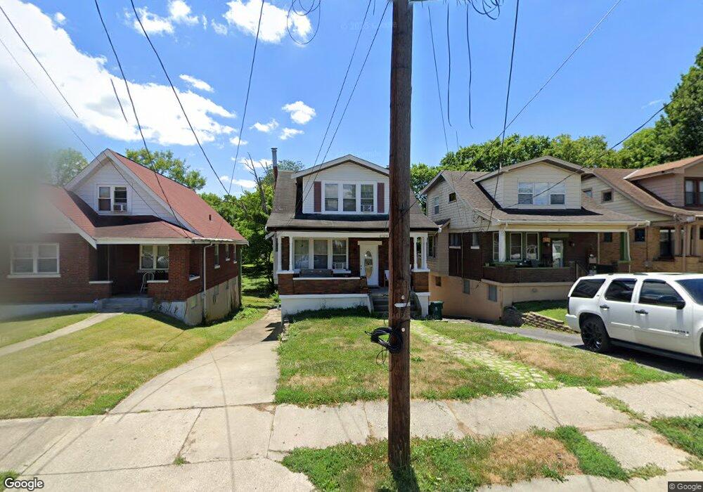
4029 Palos St Cincinnati, OH 45205
West Price Hill NeighborhoodEstimated Value: $75,000 - $131,338
2
Beds
2
Baths
1,065
Sq Ft
$87/Sq Ft
Est. Value
About This Home
This home is located at 4029 Palos St, Cincinnati, OH 45205 and is currently estimated at $93,085, approximately $87 per square foot. 4029 Palos St is a home located in Hamilton County with nearby schools including Carson School, Gilbert A. Dater High School, and Western Hills High School.
Ownership History
Date
Name
Owned For
Owner Type
Purchase Details
Closed on
Apr 23, 2025
Sold by
Kigar Rick
Bought by
Jones Gunner
Current Estimated Value
Purchase Details
Closed on
Nov 23, 1994
Sold by
Burke James R and Burke Leslie M
Bought by
Clark Rhonda L and Harrison Richard W
Home Financials for this Owner
Home Financials are based on the most recent Mortgage that was taken out on this home.
Original Mortgage
$60,800
Interest Rate
9%
Mortgage Type
FHA
Create a Home Valuation Report for This Property
The Home Valuation Report is an in-depth analysis detailing your home's value as well as a comparison with similar homes in the area
Home Values in the Area
Average Home Value in this Area
Purchase History
| Date | Buyer | Sale Price | Title Company |
|---|---|---|---|
| Jones Gunner | $71,501 | None Listed On Document | |
| Jones Gunner | $71,501 | None Listed On Document | |
| Clark Rhonda L | -- | -- |
Source: Public Records
Mortgage History
| Date | Status | Borrower | Loan Amount |
|---|---|---|---|
| Previous Owner | Clark Rhonda L | $60,800 |
Source: Public Records
Tax History Compared to Growth
Tax History
| Year | Tax Paid | Tax Assessment Tax Assessment Total Assessment is a certain percentage of the fair market value that is determined by local assessors to be the total taxable value of land and additions on the property. | Land | Improvement |
|---|---|---|---|---|
| 2024 | $1,733 | $28,914 | $3,689 | $25,225 |
| 2023 | $1,772 | $28,914 | $3,689 | $25,225 |
| 2022 | $984 | $14,337 | $3,665 | $10,672 |
| 2021 | $944 | $14,337 | $3,665 | $10,672 |
| 2020 | $972 | $14,337 | $3,665 | $10,672 |
| 2019 | $966 | $13,034 | $3,332 | $9,702 |
| 2018 | $968 | $13,034 | $3,332 | $9,702 |
| 2017 | $919 | $13,034 | $3,332 | $9,702 |
| 2016 | $1,192 | $16,685 | $3,560 | $13,125 |
| 2015 | $1,075 | $16,685 | $3,560 | $13,125 |
| 2014 | $1,083 | $16,685 | $3,560 | $13,125 |
| 2013 | $1,250 | $18,960 | $4,046 | $14,914 |
Source: Public Records
Map
Nearby Homes
- 494 Lobob Ct
- 4082 Mardon Place
- 4041 W 8th St
- 820 Suire Ave
- 408 Roebling Rd
- 4226 Skylark Dr
- 620 Trenton Ave
- 700 Trenton Ave
- 904 Rosemont Ave
- 617 Trenton Ave
- 915 Rosemont Ave
- 1052 Delhi Ave
- 928 Harris Ave
- 919 Sunset Ave
- 4016 Jamestown St
- 1002 Winfield Ave
- 944 Seton Ave
- 4260 Delridge Dr
- 952 Seton Ave
- 3631 Eighth St W