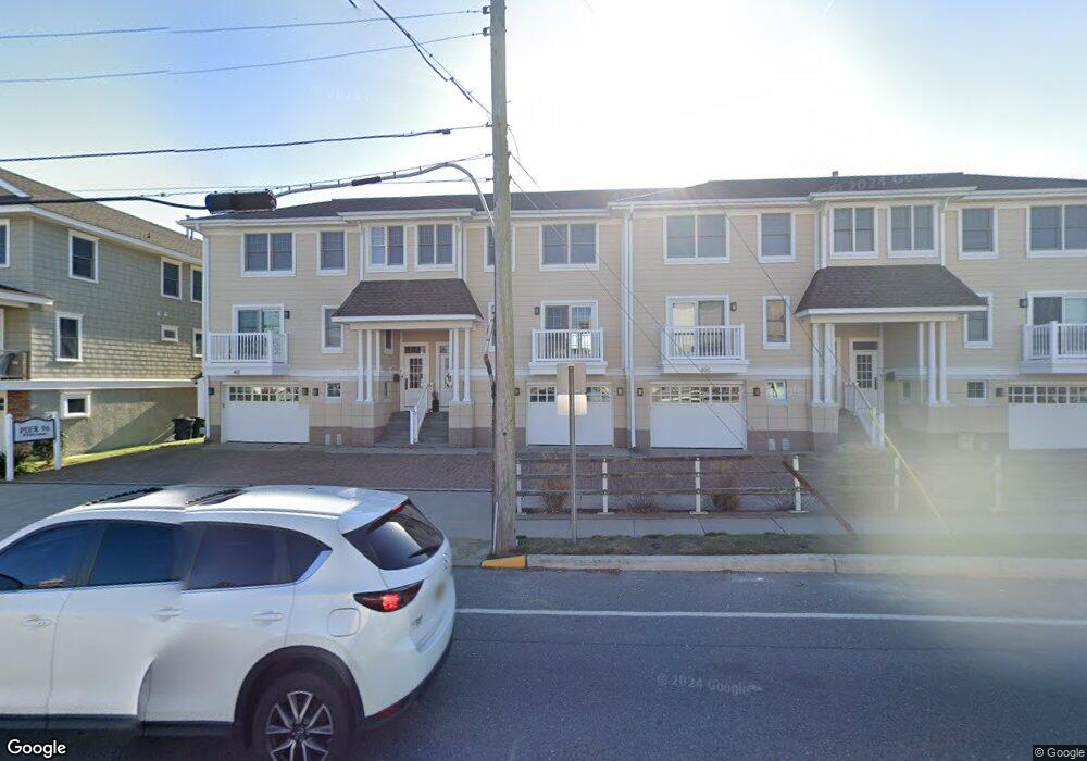
403 96th St Unit B Stone Harbor, NJ 08247
Estimated Value: $1,641,000 - $2,575,000
--
Bed
--
Bath
1,906
Sq Ft
$1,155/Sq Ft
Est. Value
About This Home
This home is located at 403 96th St Unit B, Stone Harbor, NJ 08247 and is currently estimated at $2,201,799, approximately $1,155 per square foot. 403 96th St Unit B is a home located in Cape May County with nearby schools including Stone Harbor Elementary School.
Ownership History
Date
Name
Owned For
Owner Type
Purchase Details
Closed on
May 26, 2004
Sold by
Meade Richard L and Meade Elizabeth L
Bought by
Roach Timothy L and Roach Cindy E
Current Estimated Value
Home Financials for this Owner
Home Financials are based on the most recent Mortgage that was taken out on this home.
Original Mortgage
$920,000
Outstanding Balance
$334,890
Interest Rate
2.25%
Mortgage Type
Purchase Money Mortgage
Estimated Equity
$1,866,909
Purchase Details
Closed on
May 23, 2003
Sold by
401 96Th Street Llc
Bought by
Meade Richard L and Meade Elizabeth L
Home Financials for this Owner
Home Financials are based on the most recent Mortgage that was taken out on this home.
Original Mortgage
$700,000
Interest Rate
5.86%
Purchase Details
Closed on
Dec 11, 1995
Sold by
Kircher Patricia H
Bought by
Verna Frank
Home Financials for this Owner
Home Financials are based on the most recent Mortgage that was taken out on this home.
Original Mortgage
$64,000
Interest Rate
7.43%
Create a Home Valuation Report for This Property
The Home Valuation Report is an in-depth analysis detailing your home's value as well as a comparison with similar homes in the area
Home Values in the Area
Average Home Value in this Area
Purchase History
| Date | Buyer | Sale Price | Title Company |
|---|---|---|---|
| Roach Timothy L | $1,150,000 | Commonwealth Land Title Insu | |
| Meade Richard L | $875,000 | -- | |
| Verna Frank | $80,000 | -- |
Source: Public Records
Mortgage History
| Date | Status | Borrower | Loan Amount |
|---|---|---|---|
| Open | Roach Timothy L | $920,000 | |
| Previous Owner | Meade Richard L | $700,000 | |
| Previous Owner | Verna Frank | $64,000 |
Source: Public Records
Tax History Compared to Growth
Tax History
| Year | Tax Paid | Tax Assessment Tax Assessment Total Assessment is a certain percentage of the fair market value that is determined by local assessors to be the total taxable value of land and additions on the property. | Land | Improvement |
|---|---|---|---|---|
| 2025 | $8,727 | $1,166,700 | $724,500 | $442,200 |
| 2024 | $8,727 | $1,166,700 | $724,500 | $442,200 |
| 2023 | $8,575 | $1,166,700 | $724,500 | $442,200 |
| 2022 | $8,074 | $1,166,700 | $724,500 | $442,200 |
| 2021 | $5,606 | $1,166,700 | $724,500 | $442,200 |
| 2020 | $7,117 | $1,166,700 | $724,500 | $442,200 |
| 2019 | $6,685 | $1,166,700 | $724,500 | $442,200 |
| 2018 | $6,440 | $1,166,700 | $724,500 | $442,200 |
| 2017 | $4,792 | $863,400 | $629,300 | $234,100 |
| 2016 | $4,619 | $863,400 | $629,300 | $234,100 |
| 2015 | $4,533 | $863,400 | $629,300 | $234,100 |
| 2014 | $4,472 | $863,400 | $629,300 | $234,100 |
Source: Public Records
Map
Nearby Homes
- 351 96th St Unit 209
- 338 99th St
- 10017 Corinthian Dr
- 233-235 99th St Unit E
- 1116 Stone Harbor Blvd Unit 101
- 270 101st St
- 9903 2nd Ave
- 230 101st St Unit 1 East
- 9619 Seng Place
- 166 99th St
- 9214 2nd Ave
- 154 98th St
- 246 103rd St
- 164 93rd St
- 10425 Corinthian Dr
- 11116 2nd Ave
- 11200 2nd Ave
- 215 89th St
- 252 89th St Unit NORTH
- 294 88th St
- 401 96th St Unit A
- 405 96th St Unit C
- 407 96th St Unit D
- 385 96th St
- 383 96th St
- 381 96th St
- 379 96th St
- 9511 Sunset Dr Unit 203
- 9511 Sunset Dr Unit 201
- 9511 Sunset Dr Unit 301
- 9511 Sunset Dr Unit 401
- 9511 Sunset Dr Unit 302
- 9511 Sunset Dr Unit 303
- 9511 Sunset Dr Unit 200
- 9511 Sunset Dr Unit 404
- 9511 Sunset Dr Unit 405
- 9511 Sunset Dr Unit 403
- 9511 Sunset Dr Unit 402
- 9511 Sunset Dr Unit 305
- 9511 Sunset Dr Unit 304