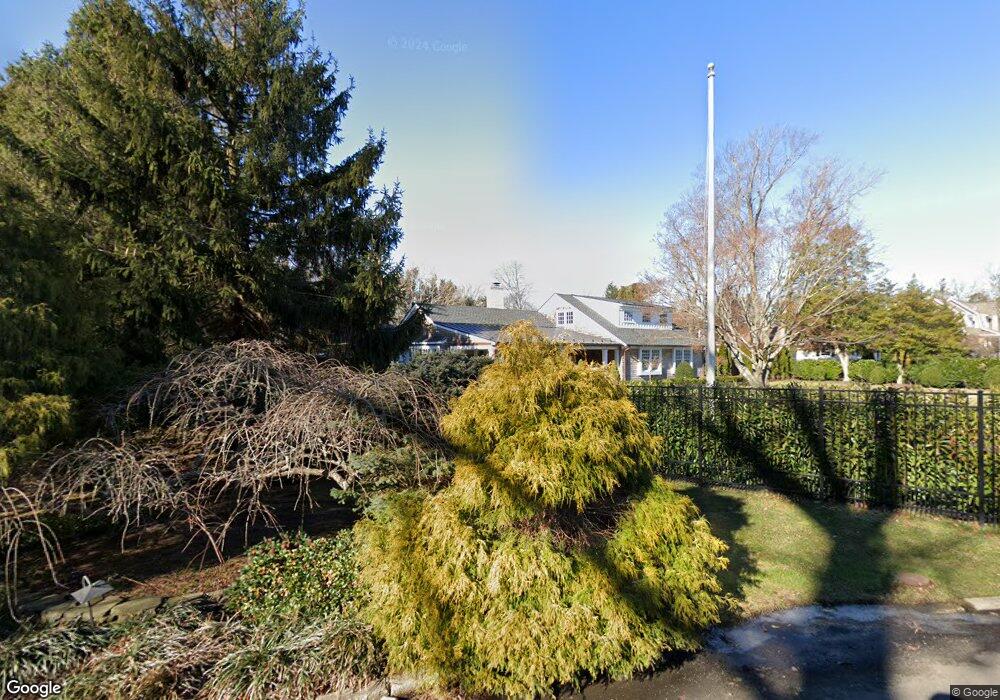
403 Bel Aire Rd Brielle, NJ 08730
Estimated Value: $1,693,000 - $2,332,000
4
Beds
4
Baths
3,378
Sq Ft
$575/Sq Ft
Est. Value
About This Home
This home is located at 403 Bel Aire Rd, Brielle, NJ 08730 and is currently estimated at $1,940,792, approximately $574 per square foot. 403 Bel Aire Rd is a home located in Monmouth County with nearby schools including Brielle Elementary School and St. Peter School.
Ownership History
Date
Name
Owned For
Owner Type
Purchase Details
Closed on
Jul 28, 2010
Sold by
Shea John J and Shea Francine M
Bought by
Popovitch Frederick E and Popovitch Elizabeth
Current Estimated Value
Home Financials for this Owner
Home Financials are based on the most recent Mortgage that was taken out on this home.
Original Mortgage
$750,000
Outstanding Balance
$251,798
Interest Rate
4.57%
Mortgage Type
New Conventional
Estimated Equity
$1,688,994
Purchase Details
Closed on
Jul 17, 2009
Sold by
Shea Francine M
Bought by
Shea John and Shea Francine M
Create a Home Valuation Report for This Property
The Home Valuation Report is an in-depth analysis detailing your home's value as well as a comparison with similar homes in the area
Home Values in the Area
Average Home Value in this Area
Purchase History
| Date | Buyer | Sale Price | Title Company |
|---|---|---|---|
| Popovitch Frederick E | $1,040,000 | None Available | |
| Shea John | -- | None Available |
Source: Public Records
Mortgage History
| Date | Status | Borrower | Loan Amount |
|---|---|---|---|
| Open | Popovitch Frederick E | $750,000 |
Source: Public Records
Tax History Compared to Growth
Tax History
| Year | Tax Paid | Tax Assessment Tax Assessment Total Assessment is a certain percentage of the fair market value that is determined by local assessors to be the total taxable value of land and additions on the property. | Land | Improvement |
|---|---|---|---|---|
| 2025 | $19,123 | $1,744,400 | $1,103,300 | $641,100 |
| 2024 | $17,867 | $1,540,900 | $878,800 | $662,100 |
| 2023 | $17,867 | $1,390,400 | $759,600 | $630,800 |
| 2022 | $16,100 | $1,260,200 | $659,600 | $600,600 |
| 2021 | $16,100 | $1,050,200 | $609,600 | $440,600 |
| 2020 | $15,664 | $956,900 | $559,600 | $397,300 |
| 2019 | $15,386 | $953,900 | $559,600 | $394,300 |
| 2018 | $15,288 | $935,600 | $559,600 | $376,000 |
| 2017 | $15,285 | $924,100 | $559,600 | $364,500 |
| 2016 | $15,107 | $915,000 | $559,600 | $355,400 |
| 2015 | $14,949 | $898,900 | $559,600 | $339,300 |
| 2014 | $16,203 | $1,040,000 | $982,300 | $57,700 |
Source: Public Records
Map
Nearby Homes
- 806 Riverview Dr
- 907 Riverview Dr
- 642 Rankin Rd
- 846 William Dr
- 204 Curtis Ave
- 816 Rathjen Rd
- 328 Curtis Ave Unit Lot 28
- 20 Maple Ln Unit D
- 917 Riverview Dr
- 508 Harris Ave
- 29 Mulberry Ct Unit D
- 109 Griffiths Ave
- 326 Curtis Ave Unit Lot 27
- 41 Poplar Ct Unit C
- 300 Union Ave
- 542 Woodland Ave
- 845 Arnold Ave Unit 3
- 664 Valley Rd
- 651 Oceanview Rd
- 21 N Tamarack Dr