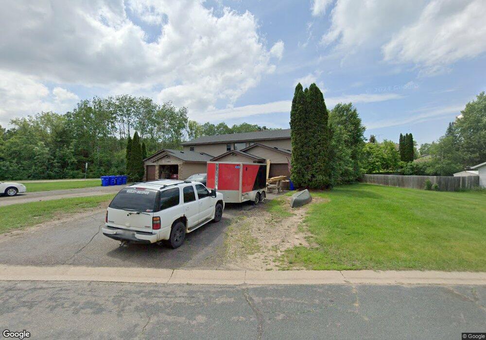
403 Cedar St Somerset, WI 54025
Estimated Value: $306,000 - $591,000
--
Bed
--
Bath
4,168
Sq Ft
$103/Sq Ft
Est. Value
About This Home
This home is located at 403 Cedar St, Somerset, WI 54025 and is currently estimated at $429,358, approximately $103 per square foot. 403 Cedar St is a home located in St. Croix County with nearby schools including Somerset Elementary School, Somerset Middle School, and Somerset High School.
Ownership History
Date
Name
Owned For
Owner Type
Purchase Details
Closed on
Feb 1, 2017
Sold by
Durushia Ray D and Durushia Dianna K
Bought by
Rd & D Durushia Llc
Current Estimated Value
Purchase Details
Closed on
Oct 17, 2016
Sold by
Rd And D Durushia Ii Llc
Bought by
Rd And D Durushia Ii Llc
Purchase Details
Closed on
Jun 14, 2013
Sold by
Rd & D Durushia Ii Llc
Bought by
Durushia Ray D and Durushia Dianne K
Home Financials for this Owner
Home Financials are based on the most recent Mortgage that was taken out on this home.
Original Mortgage
$180,000
Interest Rate
3.34%
Mortgage Type
New Conventional
Purchase Details
Closed on
Jan 4, 2013
Sold by
Durushia Ray D and Durushia Dianne K
Bought by
Rd & D Durushia Ii Llc
Create a Home Valuation Report for This Property
The Home Valuation Report is an in-depth analysis detailing your home's value as well as a comparison with similar homes in the area
Home Values in the Area
Average Home Value in this Area
Purchase History
| Date | Buyer | Sale Price | Title Company |
|---|---|---|---|
| Rd & D Durushia Llc | -- | None Available | |
| Rd And D Durushia Ii Llc | -- | None Available | |
| Durushia Ray D | -- | None Available | |
| Rd & D Durushia Ii Llc | -- | None Available |
Source: Public Records
Mortgage History
| Date | Status | Borrower | Loan Amount |
|---|---|---|---|
| Previous Owner | Durushia Ray D | $180,000 |
Source: Public Records
Tax History Compared to Growth
Tax History
| Year | Tax Paid | Tax Assessment Tax Assessment Total Assessment is a certain percentage of the fair market value that is determined by local assessors to be the total taxable value of land and additions on the property. | Land | Improvement |
|---|---|---|---|---|
| 2024 | $52 | $280,000 | $39,000 | $241,000 |
| 2023 | $4,983 | $280,000 | $39,000 | $241,000 |
| 2022 | $4,792 | $280,000 | $39,000 | $241,000 |
| 2021 | $4,755 | $280,000 | $39,000 | $241,000 |
| 2020 | $5,993 | $280,000 | $39,000 | $241,000 |
| 2019 | $6,282 | $239,200 | $32,500 | $206,700 |
| 2018 | $5,818 | $239,200 | $32,500 | $206,700 |
| 2017 | $5,719 | $239,200 | $32,500 | $206,700 |
| 2016 | $5,719 | $239,200 | $32,500 | $206,700 |
| 2015 | $6,185 | $239,200 | $32,500 | $206,700 |
| 2014 | $5,552 | $239,200 | $32,500 | $206,700 |
| 2013 | $6,250 | $239,200 | $32,500 | $206,700 |
Source: Public Records
Map
Nearby Homes
- 314 Cedar St
- 108 Main St
- 302 Main St
- 270 Main St
- 486 Meadow Ln
- 528 Jackson Cir
- 415 Bruce Larson Way
- 325 Church Hill Rd
- XXXX 50th St
- 206 Red Pine Dr
- 316 Evergreen Dr
- 231 Plum Tree Ln
- 441 White Pine Ln
- 325 Aspen Dr
- 318 Aspen Dr
- 310 Aspen Dr
- 1820 County Road C
- 441 Charles Ln
- 309 Walnut Ln
- 481 Martin Way