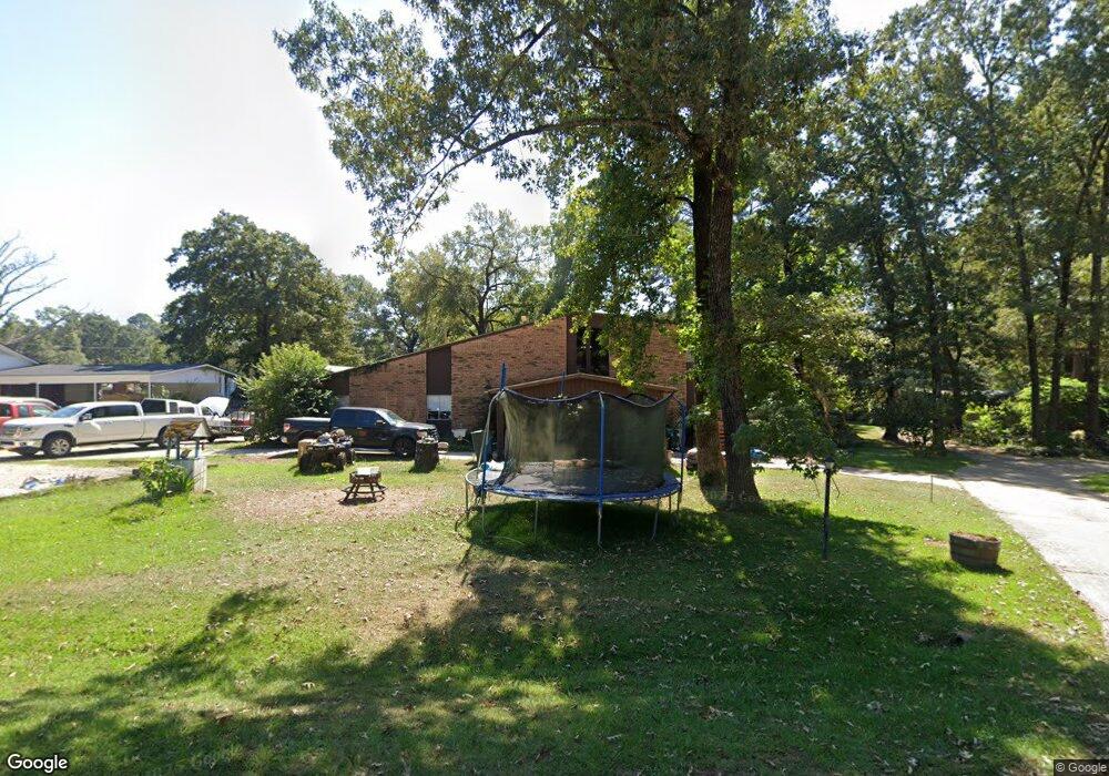
403 Irving Bluff Rd Shreveport, LA 71107
Estimated Value: $191,000 - $264,000
3
Beds
3
Baths
2,384
Sq Ft
$94/Sq Ft
Est. Value
About This Home
This home is located at 403 Irving Bluff Rd, Shreveport, LA 71107 and is currently estimated at $224,113, approximately $94 per square foot. 403 Irving Bluff Rd is a home located in Caddo Parish with nearby schools including North Highlands Elementary School, Judson Fundamental Elementary School, and Fairfield Magnet School.
Ownership History
Date
Name
Owned For
Owner Type
Purchase Details
Closed on
Jun 28, 2007
Sold by
Martin Joe Allen
Bought by
Deville Bruce
Current Estimated Value
Home Financials for this Owner
Home Financials are based on the most recent Mortgage that was taken out on this home.
Original Mortgage
$200,000
Outstanding Balance
$122,968
Interest Rate
6.19%
Mortgage Type
Unknown
Estimated Equity
$101,145
Create a Home Valuation Report for This Property
The Home Valuation Report is an in-depth analysis detailing your home's value as well as a comparison with similar homes in the area
Home Values in the Area
Average Home Value in this Area
Purchase History
| Date | Buyer | Sale Price | Title Company |
|---|---|---|---|
| Deville Bruce | $168,000 | None Available |
Source: Public Records
Mortgage History
| Date | Status | Borrower | Loan Amount |
|---|---|---|---|
| Open | Deville Bruce | $200,000 |
Source: Public Records
Tax History Compared to Growth
Tax History
| Year | Tax Paid | Tax Assessment Tax Assessment Total Assessment is a certain percentage of the fair market value that is determined by local assessors to be the total taxable value of land and additions on the property. | Land | Improvement |
|---|---|---|---|---|
| 2024 | $2,058 | $13,850 | $852 | $12,998 |
| 2023 | $1,938 | $12,656 | $811 | $11,845 |
| 2022 | $1,938 | $12,656 | $811 | $11,845 |
| 2021 | $1,939 | $12,656 | $811 | $11,845 |
| 2020 | $1,939 | $12,656 | $811 | $11,845 |
| 2019 | $1,917 | $12,636 | $811 | $11,825 |
| 2018 | $824 | $12,636 | $811 | $11,825 |
| 2017 | $1,922 | $12,695 | $811 | $11,884 |
| 2015 | $738 | $11,940 | $810 | $11,130 |
| 2014 | $742 | $11,940 | $810 | $11,130 |
| 2013 | -- | $11,940 | $810 | $11,130 |
Source: Public Records
Map
Nearby Homes
- 419 Irving Bluff Rd
- 434 Irving Bluff Rd
- 5220 Old Mooringsport Rd
- 5244 N Market St
- 5555 Old Mooringsport Rd
- 955 Roanoke Dr
- 5049 Falcon Bay Dr
- 5045 Falcon Bay Dr
- Mimosa III A Plan at Falcon Bay
- Hickory III B Plan at Falcon Bay
- Hickory III A Plan at Falcon Bay
- Cedar IV A Plan at Falcon Bay
- Camellia V A Plan at Falcon Bay
- Camellia V B Plan at Falcon Bay
- Orchid III B Plan at Falcon Bay
- Irises V B Plan at Falcon Bay
- Orchid III A Plan at Falcon Bay
- Irises V A Plan at Falcon Bay
- Roses V C Plan at Falcon Bay
- Roses V B Plan at Falcon Bay
- 401 Irving Bluff Rd
- 560 Irving Bluff Rd
- 407 Irving Bluff Rd
- 406 Irving Bluff Rd
- 600 Irving Bluff Rd
- 409 Irving Bluff Rd
- 484 Irving Bluff Rd
- 410 Irving Bluff Rd
- 604 Irving Bluff Rd
- 489 Irving Bluff Rd
- 561 Irving Bluff Rd
- 610 Irving Bluff Rd
- 601 Irving Bluff Rd
- 480 Irving Bluff Rd
- 479 Irving Bluff Rd
- 607 Irving Bluff Rd
- 620 Irving Bluff Rd
- 476 Irving Bluff Rd
- 418 Irving Bluff Rd
- 615 Irving Bluff Rd