403 Lightfoot Ave Kodiak, AK 99615
Estimated Value: $124,000 - $588,000
3
Beds
2
Baths
1,852
Sq Ft
$234/Sq Ft
Est. Value
About This Home
This home is located at 403 Lightfoot Ave, Kodiak, AK 99615 and is currently estimated at $432,695, approximately $233 per square foot. 403 Lightfoot Ave is a home located in Kodiak Island Borough with nearby schools including St. Mary's School.
Ownership History
Date
Name
Owned For
Owner Type
Purchase Details
Closed on
Mar 15, 2024
Sold by
Saltonstall Barbara E and Katelnikov Ella S
Bought by
Mcgrath Jason and Mcgrath Shanna Moeder
Current Estimated Value
Home Financials for this Owner
Home Financials are based on the most recent Mortgage that was taken out on this home.
Original Mortgage
$522,000
Outstanding Balance
$511,785
Interest Rate
6.63%
Mortgage Type
VA
Estimated Equity
-$79,090
Purchase Details
Closed on
Aug 28, 2012
Sold by
Sundberg David J and Estate Of Phyllis M Sundberg
Bought by
Saltonstall Barbara E and Saltonstall Richard
Home Financials for this Owner
Home Financials are based on the most recent Mortgage that was taken out on this home.
Original Mortgage
$283,882
Interest Rate
3.25%
Mortgage Type
FHA
Create a Home Valuation Report for This Property
The Home Valuation Report is an in-depth analysis detailing your home's value as well as a comparison with similar homes in the area
Purchase History
| Date | Buyer | Sale Price | Title Company |
|---|---|---|---|
| Mcgrath Jason | -- | None Listed On Document | |
| Saltonstall Barbara E | -- | None Available |
Source: Public Records
Mortgage History
| Date | Status | Borrower | Loan Amount |
|---|---|---|---|
| Open | Mcgrath Jason | $522,000 | |
| Previous Owner | Saltonstall Barbara E | $283,882 |
Source: Public Records
Tax History
| Year | Tax Paid | Tax Assessment Tax Assessment Total Assessment is a certain percentage of the fair market value that is determined by local assessors to be the total taxable value of land and additions on the property. | Land | Improvement |
|---|---|---|---|---|
| 2025 | $5,534 | $492,400 | $72,800 | $419,600 |
| 2024 | $5,534 | $491,900 | $94,700 | $397,200 |
| 2023 | $5,351 | $436,800 | $76,000 | $360,800 |
| 2022 | $4,832 | $379,000 | $76,000 | $303,000 |
| 2021 | $4,839 | $379,500 | $76,000 | $303,500 |
| 2020 | $4,668 | $366,100 | $76,000 | $290,100 |
| 2019 | $3,983 | $312,400 | $76,000 | $236,400 |
| 2018 | $3,983 | $312,400 | $76,000 | $236,400 |
| 2017 | $3,828 | $300,200 | $78,600 | $221,600 |
| 2016 | -- | $260,300 | $78,600 | $181,700 |
| 2015 | -- | $234,000 | $78,600 | $155,400 |
| 2014 | -- | $234,000 | $78,600 | $155,400 |
| 2013 | -- | $234,000 | $78,600 | $155,400 |
Source: Public Records
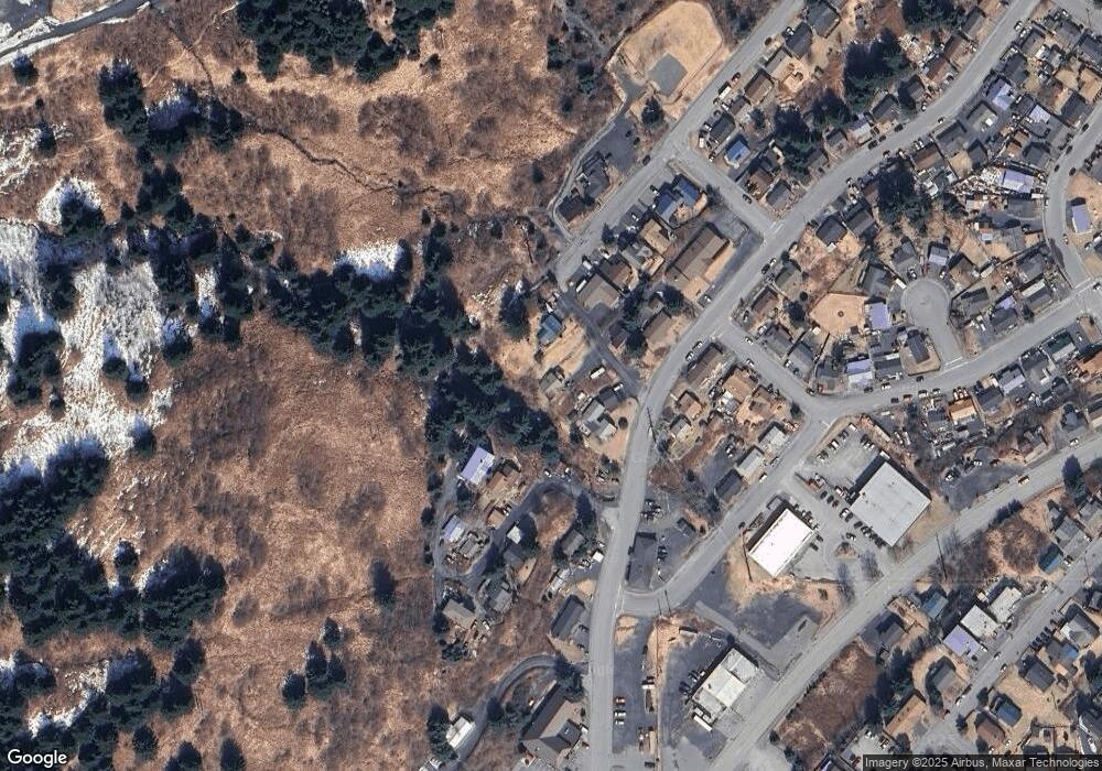
Map
Nearby Homes
- 307 High St
- 716 Thorsheim St
- 1011 Willow St
- 821 E Tagura Rd
- 1217 Purtov St
- 1310 Mission Rd
- 1411 Mission Rd
- 1612 Ismailov St
- 1716 Selief Ln
- 516 Bonaparte Cir
- 1815 Chichenof St
- 320 Shahafka Cir
- 1679 Three Sisters Way
- 170 Island Lake Rd
- 3043 Lakeview Dr
- 3043 Lake View Dr
- 3413 Eider St
- 285 Lilly Dr
- 3720 Sunset Dr
- 3601 Sharatin Rd
- 403 Lightfoot St
- 304 High St
- 405 Lightfoot St
- 405 Lightfoot Ave
- 401 Lightfoot St
- 402 Lightfoot Ave
- 309 High St
- 306 High St
- 402 Lightfoot St
- 410 Hillside Dr
- 415 Thorsheim St
- 412 Thorsheim St
- 315 E Hillcrest St
- 414 Hillside Dr
- 313 High St
- 311 High St
- 414 Thorsheim St
- 314 High St
- 416 Thorsheim St
- 416 Hillside Dr
Your Personal Tour Guide
Ask me questions while you tour the home.