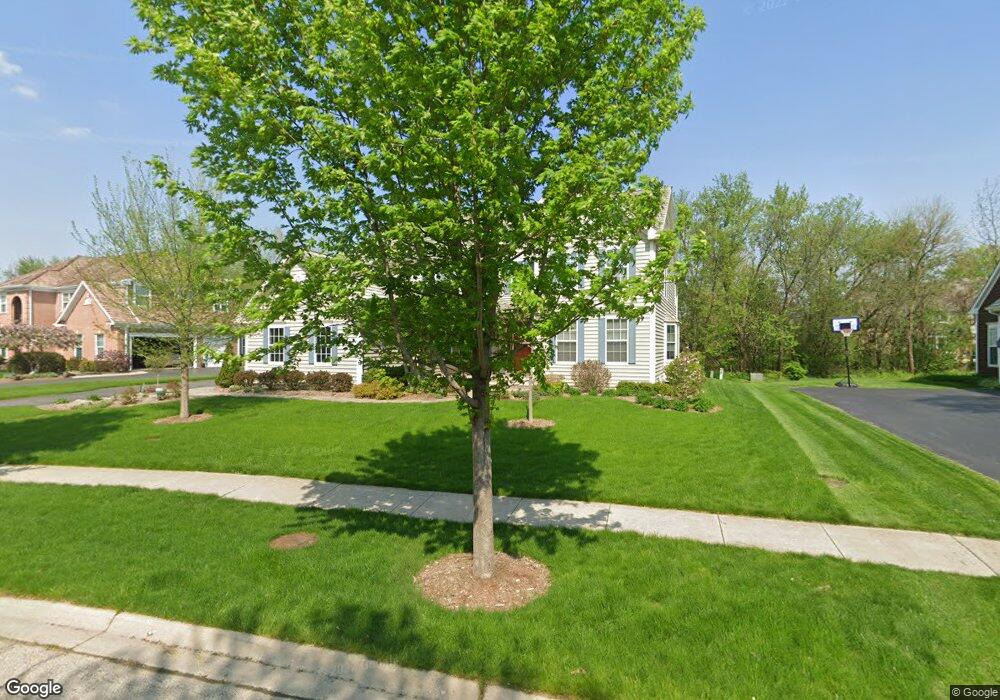
403 Morgan Ln Fox River Grove, IL 60021
Estimated Value: $644,643 - $767,000
--
Bed
3
Baths
3,440
Sq Ft
$211/Sq Ft
Est. Value
About This Home
This home is located at 403 Morgan Ln, Fox River Grove, IL 60021 and is currently estimated at $724,161, approximately $210 per square foot. 403 Morgan Ln is a home located in Lake County with nearby schools including Countryside Elementary School, Barrington Mdle School- Prairie Cmps, and Barrington High School.
Ownership History
Date
Name
Owned For
Owner Type
Purchase Details
Closed on
Apr 13, 2020
Sold by
Loethen Paul
Bought by
Loethen Paul Franicis
Current Estimated Value
Purchase Details
Closed on
Jun 29, 2000
Sold by
Hunters Ltd Partnership
Bought by
Loethen Paul and Moore Lisa
Home Financials for this Owner
Home Financials are based on the most recent Mortgage that was taken out on this home.
Original Mortgage
$252,700
Outstanding Balance
$90,168
Interest Rate
8.19%
Estimated Equity
$633,993
Create a Home Valuation Report for This Property
The Home Valuation Report is an in-depth analysis detailing your home's value as well as a comparison with similar homes in the area
Home Values in the Area
Average Home Value in this Area
Purchase History
| Date | Buyer | Sale Price | Title Company |
|---|---|---|---|
| Loethen Paul Franicis | -- | None Available | |
| Loethen Paul | $467,000 | Stewart Title Company |
Source: Public Records
Mortgage History
| Date | Status | Borrower | Loan Amount |
|---|---|---|---|
| Open | Loethen Paul | $252,700 |
Source: Public Records
Tax History Compared to Growth
Tax History
| Year | Tax Paid | Tax Assessment Tax Assessment Total Assessment is a certain percentage of the fair market value that is determined by local assessors to be the total taxable value of land and additions on the property. | Land | Improvement |
|---|---|---|---|---|
| 2024 | $11,353 | $173,740 | $35,562 | $138,178 |
| 2023 | $12,832 | $164,682 | $33,708 | $130,974 |
| 2022 | $12,832 | $179,810 | $38,135 | $141,675 |
| 2021 | $12,505 | $176,752 | $37,486 | $139,266 |
| 2020 | $12,272 | $176,206 | $37,370 | $138,836 |
| 2019 | $11,791 | $171,557 | $36,384 | $135,173 |
| 2018 | $10,673 | $159,275 | $52,430 | $106,845 |
| 2017 | $10,618 | $156,076 | $51,377 | $104,699 |
| 2016 | $10,396 | $187,104 | $49,439 | $137,665 |
| 2015 | $12,441 | $175,486 | $46,369 | $129,117 |
| 2014 | $11,807 | $156,385 | $40,274 | $116,111 |
| 2012 | $11,384 | $159,073 | $40,966 | $118,107 |
Source: Public Records
Map
Nearby Homes
- 28442 W Main St
- 28629 W Ravine Dr
- 23433 N Summit Dr
- 9209 Jasmine Way
- 28437 W Lindbergh Dr
- Lot 1 N Owl Ct
- 28876 W Pioneer Grove Rd
- 911 Johnson St
- 806 Norge Pkwy
- 599 Plum Tree Rd
- 5 Jacqueline Ln
- 361 Ridge Rd
- 27784 W Flynn Creek Dr
- 28740 W Bloners Dr
- 24211 N Riverside Dr
- LOT 2 Asbury Ave
- Lot 1 Asbury Ave
- 502 Windsor Cir
- 300 Opatrny Dr Unit 122
- 902 Spring Beach Way