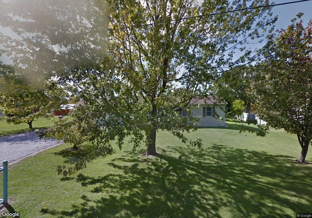
403 N Martin St Forest, OH 45843
Estimated Value: $161,896 - $197,000
3
Beds
1
Bath
1,248
Sq Ft
$140/Sq Ft
Est. Value
About This Home
This home is located at 403 N Martin St, Forest, OH 45843 and is currently estimated at $174,724, approximately $140 per square foot. 403 N Martin St is a home located in Hardin County with nearby schools including Riverdale Middle School and Riverdale High School.
Ownership History
Date
Name
Owned For
Owner Type
Purchase Details
Closed on
Dec 30, 2009
Sold by
Stanley John E and Andrews Bethany St
Bought by
Stanley Andrew M
Current Estimated Value
Home Financials for this Owner
Home Financials are based on the most recent Mortgage that was taken out on this home.
Original Mortgage
$64,770
Outstanding Balance
$42,116
Interest Rate
4.84%
Mortgage Type
New Conventional
Estimated Equity
$132,608
Purchase Details
Closed on
Dec 19, 2009
Sold by
Stanley John E
Bought by
Stapley Andrew M
Home Financials for this Owner
Home Financials are based on the most recent Mortgage that was taken out on this home.
Original Mortgage
$64,770
Outstanding Balance
$42,116
Interest Rate
4.84%
Mortgage Type
New Conventional
Estimated Equity
$132,608
Purchase Details
Closed on
Apr 1, 1996
Bought by
Summerell Louis B and Summerell Anna
Create a Home Valuation Report for This Property
The Home Valuation Report is an in-depth analysis detailing your home's value as well as a comparison with similar homes in the area
Home Values in the Area
Average Home Value in this Area
Purchase History
| Date | Buyer | Sale Price | Title Company |
|---|---|---|---|
| Stanley Andrew M | $30,000 | Whitman Title Agency | |
| Stapley Andrew M | $30,000 | Whitman Title Agency | |
| Summerell Louis B | $7,400 | -- |
Source: Public Records
Mortgage History
| Date | Status | Borrower | Loan Amount |
|---|---|---|---|
| Open | Stapley Andrew M | $64,770 |
Source: Public Records
Tax History Compared to Growth
Tax History
| Year | Tax Paid | Tax Assessment Tax Assessment Total Assessment is a certain percentage of the fair market value that is determined by local assessors to be the total taxable value of land and additions on the property. | Land | Improvement |
|---|---|---|---|---|
| 2024 | $1,181 | $36,140 | $3,010 | $33,130 |
| 2023 | $1,181 | $36,140 | $3,010 | $33,130 |
| 2022 | $1,136 | $30,470 | $2,770 | $27,700 |
| 2021 | $1,231 | $30,470 | $2,770 | $27,700 |
| 2020 | $1,234 | $30,470 | $2,770 | $27,700 |
| 2019 | $956 | $24,000 | $2,640 | $21,360 |
| 2018 | $916 | $24,000 | $2,640 | $21,360 |
| 2017 | $1,017 | $24,000 | $2,640 | $21,360 |
| 2016 | $1,121 | $29,510 | $3,090 | $26,420 |
| 2015 | $1,045 | $29,510 | $3,090 | $26,420 |
| 2014 | $1,057 | $29,510 | $3,090 | $26,420 |
| 2013 | $1,045 | $29,510 | $3,090 | $26,420 |
Source: Public Records
Map
Nearby Homes
- 402 E Lima St
- 0 S Davis St
- 615 W Gage St
- 412 E Lima St
- 412 S Patterson St
- 0 S Patterson St
- 18660 County Road 20
- 0 Cr 215 Unit 11594771
- 0 Cr 215 Unit 11594600
- 0 Cr 215 Unit 25370311
- 0 Cr 215 Unit 11598074
- 3065 County Road 205
- 15418 Ohio 37
- 5091 County Road 175
- 20453 Township Road 187
- 0 Township Road 64
- 4771 County Road 159
- 6497 County Highway 87
- 12443 Township Road 20
- 420 N Main St