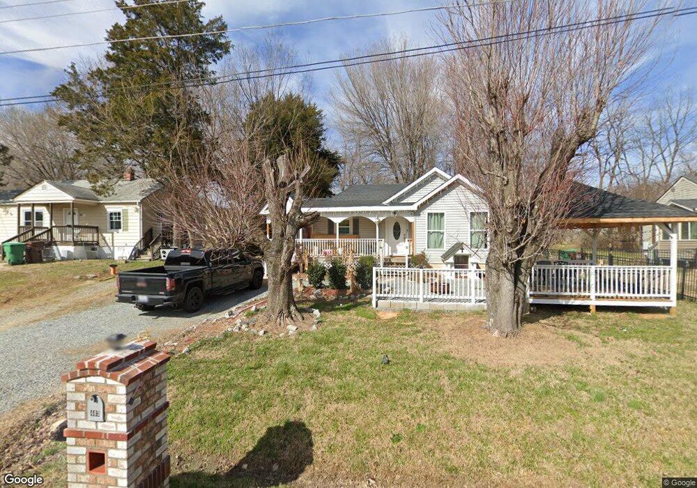
403 Player Dr High Point, NC 27260
Greater High Point NeighborhoodEstimated Value: $86,000 - $143,000
2
Beds
1
Bath
768
Sq Ft
$158/Sq Ft
Est. Value
About This Home
This home is located at 403 Player Dr, High Point, NC 27260 and is currently estimated at $121,389, approximately $158 per square foot. 403 Player Dr is a home located in Guilford County with nearby schools including Fairview Elementary School, Ferndale Middle School, and High Point Central High School.
Ownership History
Date
Name
Owned For
Owner Type
Purchase Details
Closed on
Feb 22, 2011
Sold by
Bank Of North Carolina
Bought by
Waterhouse Holdings Llc
Current Estimated Value
Purchase Details
Closed on
Sep 30, 2010
Sold by
Walker Milton T and Walker Harriett S
Bought by
Bank Of North Carolina
Purchase Details
Closed on
Nov 26, 2003
Bought by
Walker Milton T
Purchase Details
Closed on
Nov 8, 2002
Sold by
Fletcher Teresa M and Fletcher James K
Bought by
Mcadden Ramona D
Create a Home Valuation Report for This Property
The Home Valuation Report is an in-depth analysis detailing your home's value as well as a comparison with similar homes in the area
Home Values in the Area
Average Home Value in this Area
Purchase History
| Date | Buyer | Sale Price | Title Company |
|---|---|---|---|
| Waterhouse Holdings Llc | $32,500 | None Available | |
| Bank Of North Carolina | $57,000 | None Available | |
| Walker Milton T | $43,000 | -- | |
| Mcadden Ramona D | -- | -- |
Source: Public Records
Tax History Compared to Growth
Tax History
| Year | Tax Paid | Tax Assessment Tax Assessment Total Assessment is a certain percentage of the fair market value that is determined by local assessors to be the total taxable value of land and additions on the property. | Land | Improvement |
|---|---|---|---|---|
| 2025 | $678 | $49,200 | $10,000 | $39,200 |
| 2024 | $678 | $49,200 | $10,000 | $39,200 |
| 2023 | $678 | $49,200 | $10,000 | $39,200 |
| 2022 | $663 | $49,200 | $10,000 | $39,200 |
| 2021 | $533 | $38,700 | $10,000 | $28,700 |
| 2020 | $533 | $38,700 | $10,000 | $28,700 |
| 2019 | $533 | $38,700 | $0 | $0 |
| 2018 | $531 | $38,700 | $0 | $0 |
| 2017 | $2,045 | $38,700 | $0 | $0 |
| 2016 | $655 | $46,700 | $0 | $0 |
| 2015 | $658 | $46,700 | $0 | $0 |
| 2014 | $670 | $46,700 | $0 | $0 |
Source: Public Records
Map
Nearby Homes
- 1117 Jefferson St
- 1010 Grace St
- 312 Model Farm Rd
- 223 Jay Place
- 2109 Lowe Ave
- 1907 Apex Place
- 640 Wesley Dr
- 1208 Anderson Place
- 1605 Mossbrook Cir
- 912 Grace St
- 607 Martha Place
- 1222 Carter St
- 1215 E Russell Ave
- 915 Park St
- 304 E Springfield Rd
- 400 E Springfield Rd
- 1601 E Green Dr
- 707 Park St
- 4304 Griffins Gate Ln
- 1012 Meredith St