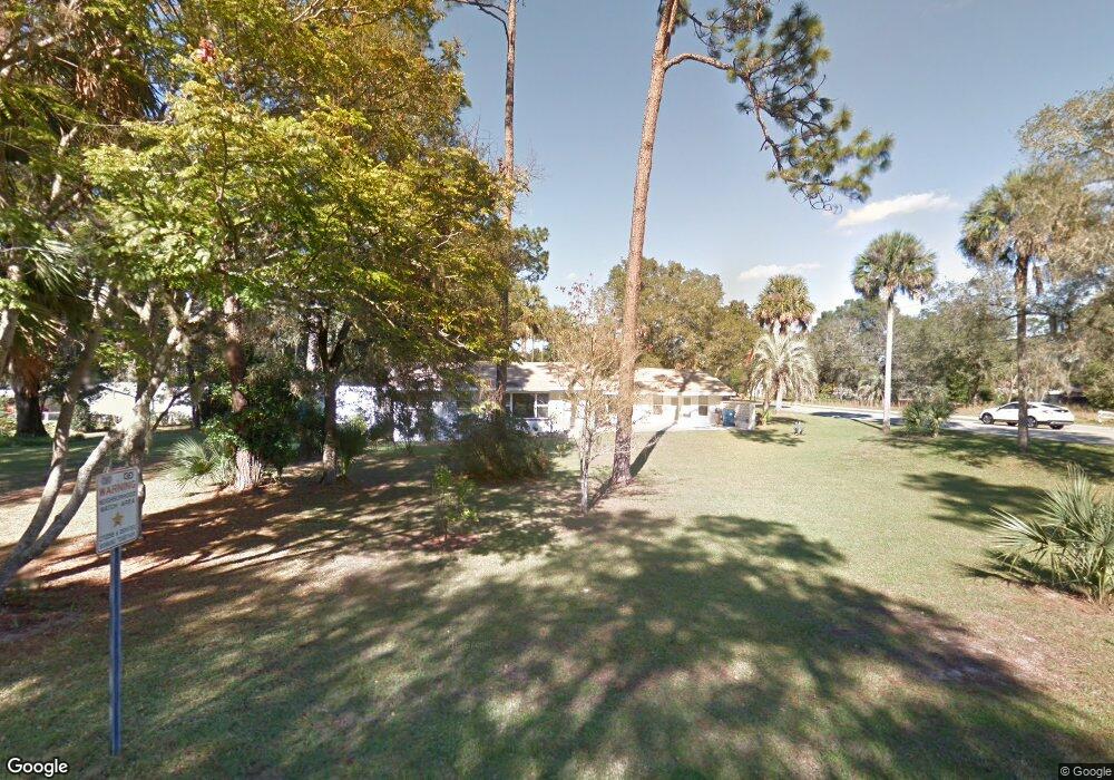
403 Rylane St de Leon Springs, FL 32130
Estimated Value: $207,000 - $228,000
2
Beds
2
Baths
1,381
Sq Ft
$160/Sq Ft
Est. Value
About This Home
This home is located at 403 Rylane St, de Leon Springs, FL 32130 and is currently estimated at $220,360, approximately $159 per square foot. 403 Rylane St is a home located in Volusia County with nearby schools including Louise S. McInnis Elementary School and T. Dewitt Taylor Middle/High School.
Ownership History
Date
Name
Owned For
Owner Type
Purchase Details
Closed on
May 29, 2024
Sold by
Mitchell Donald L
Bought by
Mitchell Donald L and Donald L Mitchell Family Trust
Current Estimated Value
Purchase Details
Closed on
Mar 4, 2005
Sold by
Bowen Sallie F and Bowen Sallie Foote
Bought by
Mitchell Donald L and Mitchell Marcia
Home Financials for this Owner
Home Financials are based on the most recent Mortgage that was taken out on this home.
Original Mortgage
$123,500
Interest Rate
5.6%
Mortgage Type
Purchase Money Mortgage
Purchase Details
Closed on
Aug 15, 1986
Bought by
Mitchell Donald L
Create a Home Valuation Report for This Property
The Home Valuation Report is an in-depth analysis detailing your home's value as well as a comparison with similar homes in the area
Home Values in the Area
Average Home Value in this Area
Purchase History
| Date | Buyer | Sale Price | Title Company |
|---|---|---|---|
| Mitchell Donald L | $100 | None Listed On Document | |
| Mitchell Donald L | $130,000 | Westside Title Services Inc | |
| Mitchell Donald L | $43,500 | -- |
Source: Public Records
Mortgage History
| Date | Status | Borrower | Loan Amount |
|---|---|---|---|
| Previous Owner | Mitchell Donald L | $123,500 |
Source: Public Records
Tax History Compared to Growth
Tax History
| Year | Tax Paid | Tax Assessment Tax Assessment Total Assessment is a certain percentage of the fair market value that is determined by local assessors to be the total taxable value of land and additions on the property. | Land | Improvement |
|---|---|---|---|---|
| 2025 | $1,769 | $134,295 | -- | -- |
| 2024 | $1,769 | $130,511 | -- | -- |
| 2023 | $1,769 | $126,710 | $0 | $0 |
| 2022 | $1,793 | $123,019 | $0 | $0 |
| 2021 | $1,838 | $119,436 | $21,000 | $98,436 |
| 2020 | $847 | $56,108 | $0 | $0 |
| 2019 | $874 | $54,847 | $0 | $0 |
| 2018 | $866 | $53,824 | $0 | $0 |
| 2017 | $853 | $52,717 | $0 | $0 |
| 2016 | $815 | $51,633 | $0 | $0 |
| 2015 | $830 | $51,274 | $0 | $0 |
| 2014 | $837 | $50,867 | $0 | $0 |
Source: Public Records
Map
Nearby Homes
- 0 North St
- 0 No Name Parcel 05163011380050 Unit V4910400
- 1955 Hillcrest Oak Dr
- 0 Pid# 44 16 29 01 00 1141 Unit MFRV4944345
- 5060 Audubon Ave
- 0 E Berlin St
- 2053 Bond Rd
- 1909 S Farm Rd
- 237 Cortez Ave
- 290 E Baxter St
- 1806 Glenwood Oaks Ln
- 2015 Hawk Haven Trail
- 329 Desoto Ave
- 0 Philadelphia Ave
- 3660 Grand Ave
- 4155 N Us Hwy 17
- 30 High Ridge Ave
- 0 Garden St Unit MFRO6109460
- 235 Garden St
- 0 Parcel 27 15 30 00 0160 Unit MFRV4941596