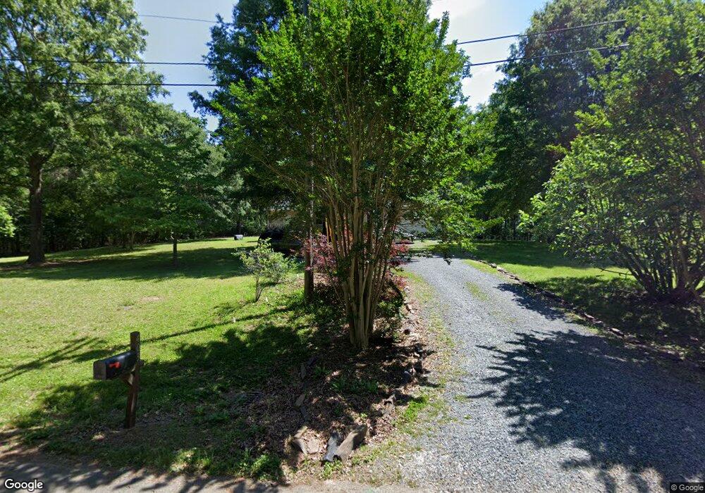
403 Simpson Rd Locust, NC 28097
Estimated Value: $364,000 - $392,000
3
Beds
2
Baths
1,681
Sq Ft
$225/Sq Ft
Est. Value
About This Home
This home is located at 403 Simpson Rd, Locust, NC 28097 and is currently estimated at $377,996, approximately $224 per square foot. 403 Simpson Rd is a home located in Stanly County with nearby schools including Locust Elementary School, West Stanly Middle School, and West Stanly High School.
Ownership History
Date
Name
Owned For
Owner Type
Purchase Details
Closed on
Jul 28, 2016
Sold by
Secretary Of Housing & Urban Development
Bought by
Readling Charity and Readling Timothy
Current Estimated Value
Purchase Details
Closed on
Jan 21, 2016
Sold by
Kennedy Debra L Burgess
Bought by
Bank Of America Na
Purchase Details
Closed on
Jan 1, 2011
Bought by
Kennedy Debra L Burgess
Purchase Details
Closed on
Feb 24, 2010
Sold by
Kennedy Steven R and Kennedy Jacqueline R
Bought by
Kennedy Debra L Burgess
Home Financials for this Owner
Home Financials are based on the most recent Mortgage that was taken out on this home.
Original Mortgage
$138,380
Interest Rate
5.02%
Mortgage Type
FHA
Create a Home Valuation Report for This Property
The Home Valuation Report is an in-depth analysis detailing your home's value as well as a comparison with similar homes in the area
Home Values in the Area
Average Home Value in this Area
Purchase History
| Date | Buyer | Sale Price | Title Company |
|---|---|---|---|
| Readling Charity | -- | Attorney | |
| Bank Of America Na | $144,029 | Attorney | |
| Kennedy Debra L Burgess | -- | -- | |
| Kennedy Debra L Burgess | -- | Chicago Title Insurance Co |
Source: Public Records
Mortgage History
| Date | Status | Borrower | Loan Amount |
|---|---|---|---|
| Previous Owner | Kennedy Debra L Burgess | $138,380 |
Source: Public Records
Tax History
| Year | Tax Paid | Tax Assessment Tax Assessment Total Assessment is a certain percentage of the fair market value that is determined by local assessors to be the total taxable value of land and additions on the property. | Land | Improvement |
|---|---|---|---|---|
| 2025 | $2,536 | $275,624 | $58,060 | $217,564 |
| 2024 | $2,014 | $184,752 | $34,480 | $150,272 |
| 2023 | $2,134 | $184,752 | $34,480 | $150,272 |
| 2022 | $2,115 | $184,752 | $34,480 | $150,272 |
| 2021 | $2,097 | $184,752 | $34,480 | $150,272 |
| 2020 | $1,747 | $145,502 | $30,210 | $115,292 |
| 2019 | $1,764 | $145,502 | $30,210 | $115,292 |
| 2018 | $1,644 | $145,502 | $30,210 | $115,292 |
| 2017 | $1,595 | $141,116 | $30,210 | $110,906 |
| 2016 | $1,558 | $137,898 | $28,120 | $109,778 |
| 2015 | $1,673 | $137,898 | $28,120 | $109,778 |
| 2014 | $1,572 | $137,898 | $28,120 | $109,778 |
Source: Public Records
Map
Nearby Homes
- TBD Simpson Rd
- 240 Ella Dr
- 169 Abigail Ln
- 402 Church St
- 211 Drive Inn Rd
- 27 Berea Baptist Church Rd
- 103 Berea Baptist Church Rd
- 105 Berea Baptist Church Rd
- 201 Oak St
- 202 Jenkins St
- 000 N Renee Ford Rd
- Lot 1 Meadow Creek Church Rd Unit 1
- 00 W Stanly St
- 417 Kiser Ln
- 206 Montclair Dr
- 135 Water Oak Ln
- 4036-B N Carolina 200
- 4034 N Carolina 200
- 716 Saddlebred Ln
- 744 Saddlebred Ln
- 404 Simpson Rd
- 502 Simpson Rd
- 501 Simpson Rd
- 351 Simpson Rd
- 504 Simpson Rd
- 409 Simpson Rd
- 520 Simpson Rd
- 311 Simpson Rd
- 000 Berea Baptist Church Rd
- 305 Simpson Rd
- 586 Church St
- 625 Church St Unit 97
- 308 Simpson Rd
- 580 Church St
- 580 Church St Unit 68
- 615 Church St
- 572 Church St Unit 69
- 572 Church St
- 738 Redah Ave
- 736 Redah Ave
Your Personal Tour Guide
Ask me questions while you tour the home.