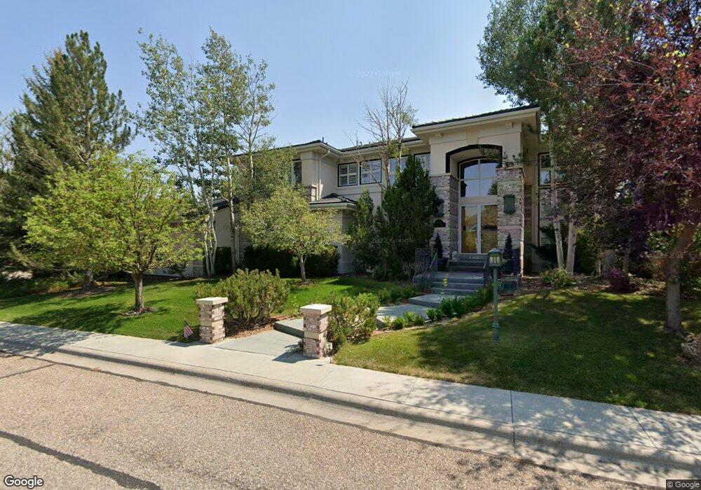
403 Stampede Cir Cheyenne, WY 82009
Estimated Value: $493,000 - $985,000
--
Bed
1
Bath
4,283
Sq Ft
$185/Sq Ft
Est. Value
About This Home
This home is located at 403 Stampede Cir, Cheyenne, WY 82009 and is currently estimated at $793,944, approximately $185 per square foot. 403 Stampede Cir is a home located in Laramie County with nearby schools including Davis Elementary School, McCormick Junior High School, and Central High School.
Ownership History
Date
Name
Owned For
Owner Type
Purchase Details
Closed on
Oct 25, 2024
Sold by
Hatch Karen
Bought by
Karen Hatch Revocable Trust and Hatch
Current Estimated Value
Purchase Details
Closed on
Nov 18, 1998
Sold by
Mack Louis W and Mack Martha P
Bought by
Hatch Robert O and Hatch Karen
Home Financials for this Owner
Home Financials are based on the most recent Mortgage that was taken out on this home.
Original Mortgage
$488,000
Interest Rate
6.9%
Create a Home Valuation Report for This Property
The Home Valuation Report is an in-depth analysis detailing your home's value as well as a comparison with similar homes in the area
Home Values in the Area
Average Home Value in this Area
Purchase History
| Date | Buyer | Sale Price | Title Company |
|---|---|---|---|
| Karen Hatch Revocable Trust | -- | None Listed On Document | |
| Karen Hatch Revocable Trust | -- | None Listed On Document | |
| Hatch Robert O | -- | -- |
Source: Public Records
Mortgage History
| Date | Status | Borrower | Loan Amount |
|---|---|---|---|
| Previous Owner | Hatch Robert O | $488,000 |
Source: Public Records
Tax History Compared to Growth
Tax History
| Year | Tax Paid | Tax Assessment Tax Assessment Total Assessment is a certain percentage of the fair market value that is determined by local assessors to be the total taxable value of land and additions on the property. | Land | Improvement |
|---|---|---|---|---|
| 2025 | $7,028 | $76,454 | $6,147 | $70,307 |
| 2024 | $7,028 | $99,397 | $8,057 | $91,340 |
| 2023 | $6,971 | $98,592 | $8,057 | $90,535 |
| 2022 | $6,521 | $90,347 | $8,057 | $82,290 |
| 2021 | $5,477 | $75,711 | $7,786 | $67,925 |
| 2020 | $5,373 | $74,474 | $7,786 | $66,688 |
| 2019 | $4,766 | $66,014 | $7,786 | $58,228 |
| 2018 | $4,647 | $64,973 | $7,786 | $57,187 |
| 2017 | $4,647 | $64,389 | $7,786 | $56,603 |
| 2016 | $4,577 | $63,396 | $7,542 | $55,854 |
| 2015 | $4,400 | $60,920 | $7,542 | $53,378 |
| 2014 | $4,316 | $59,381 | $7,542 | $51,839 |
Source: Public Records
Map
Nearby Homes
- 309 Sioux Dr
- 6810 Yellowstone Rd
- 6538 Moreland Ave
- 214 Palm Springs Ave
- 624 Creighton St
- 518 Dartmouth Ln
- 700 Vandehei Ave
- 6231 Kemp Hill Dr
- 743 Ranger Dr
- 6215 Deer Ave
- 321 Gardenia Dr
- 7113 Cordova Dr
- 6101 Deer Ave
- 624 Western Hills Blvd
- 618 Oakhurst Dr
- 6909 Bomar Dr
- 636 Western Hills Blvd Unit B
- 704 W Four Mile Rd
- 364 Bocage Dr
- 361 Chalmette Ct
- 413 Stampede Cir
- 404 Stampede Cir
- 423 Stampede Cir
- 6911 Prairie Hills Dr
- Lot 8 Prairie Hills Dr
- 422 Stampede Cir
- 435 Cherokee St
- 6919 Prairie Hills Dr
- 433 Stampede Cir
- 6811 Prairie Hills Dr
- 325 Carriage Dr
- 430 Stampede Cir
- 245 Doubletree Ln
- 407 Carriage Dr
- 434 Stampede Cir
- 317 Carriage Dr
- 237 Doubletree Ln
- 249 Doubletree Ln
- 420 Cherokee St
- 311 Carriage Dr