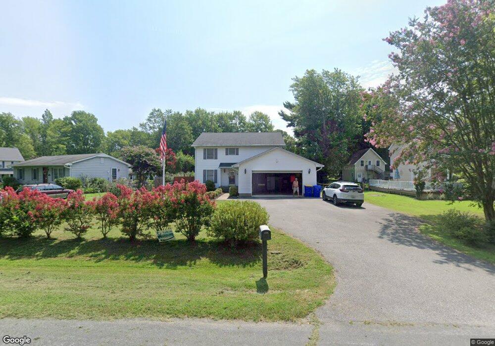
403 Victoria Way Stevensville, MD 21666
Estimated Value: $473,309 - $618,000
--
Bed
3
Baths
1,957
Sq Ft
$282/Sq Ft
Est. Value
About This Home
This home is located at 403 Victoria Way, Stevensville, MD 21666 and is currently estimated at $551,327, approximately $281 per square foot. 403 Victoria Way is a home located in Queen Anne's County with nearby schools including Matapeake Elementary School, Matapeake Middle School, and Kent Island High School.
Ownership History
Date
Name
Owned For
Owner Type
Purchase Details
Closed on
Nov 15, 2004
Sold by
Burger Wilhelm W
Bought by
Burger Wilhelm W
Current Estimated Value
Purchase Details
Closed on
Oct 30, 1996
Sold by
Burger Wilhelm W
Bought by
Burger Wilhelm W and Burger Nancy Jean
Purchase Details
Closed on
Mar 21, 1990
Sold by
Baginski Leon R and Baginski Edith A
Bought by
Burger Wilhelm W
Create a Home Valuation Report for This Property
The Home Valuation Report is an in-depth analysis detailing your home's value as well as a comparison with similar homes in the area
Home Values in the Area
Average Home Value in this Area
Purchase History
| Date | Buyer | Sale Price | Title Company |
|---|---|---|---|
| Burger Wilhelm W | -- | -- | |
| Burger Wilhelm W | -- | -- | |
| Burger Wilhelm W | $13,000 | -- |
Source: Public Records
Mortgage History
| Date | Status | Borrower | Loan Amount |
|---|---|---|---|
| Closed | Burger Wilhelm W | -- |
Source: Public Records
Tax History Compared to Growth
Tax History
| Year | Tax Paid | Tax Assessment Tax Assessment Total Assessment is a certain percentage of the fair market value that is determined by local assessors to be the total taxable value of land and additions on the property. | Land | Improvement |
|---|---|---|---|---|
| 2025 | $4,188 | $444,633 | $0 | $0 |
| 2024 | $3,830 | $406,567 | $0 | $0 |
| 2023 | $3,471 | $368,500 | $161,000 | $207,500 |
| 2022 | $3,434 | $364,567 | $0 | $0 |
| 2021 | $3,459 | $360,633 | $0 | $0 |
| 2020 | $3,421 | $356,700 | $161,000 | $195,700 |
| 2019 | $3,347 | $349,000 | $0 | $0 |
| 2018 | $3,273 | $341,300 | $0 | $0 |
| 2017 | $3,200 | $333,600 | $0 | $0 |
| 2016 | -- | $328,033 | $0 | $0 |
| 2015 | $2,676 | $322,467 | $0 | $0 |
| 2014 | $2,676 | $316,900 | $0 | $0 |
Source: Public Records
Map
Nearby Homes
- 423 Victoria Way
- 306 Irene Way
- 298 Moorings Cir
- 402 Moorings Cir
- 127 Topside Dr
- 440 Moorings Cir Unit 85
- 509 Moorings Cir Unit 249
- 912 Moorings Cir Unit 8
- 858 Moorings Cir Unit 11
- 821 Moorings Cir Unit 144
- 312 Topside Dr Unit 223
- 105 Amanda Frances Ln
- 0 Sunset Wharf Lot D-1 Unit MDQA2010276
- 119 Keenan Way
- 802 Broadcreek Dr
- 111 Keenan Way
- 349 Topside Dr
- 103 Liam Thomas Ln
- 0 Sunset Wharf Lot D-2 Unit MDQA2010284
- 0 Sunset Wharf Lot D-3 Unit MDQA2010280
- 405 Victoria Way
- 401 Victoria Way
- 407 Victoria Way
- 400 Calvert Rd
- 409 Victoria Way
- 402 Calvert Rd
- 404 Victoria Way
- 202 Wallman Way
- 206 Wallman Way
- 406 Victoria Way
- 208 Wallman Way
- 301 Wallman Way
- 408 Victoria Way
- 404 Calvert Rd
- 411 Victoria Way
- 300 Wallman Way
- 412 Victoria Way
- 413 Victoria Way
- 406 Calvert Rd
- 302 Wallman Way