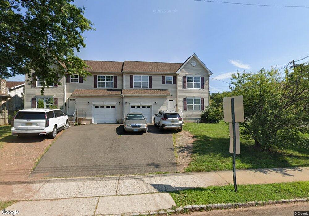
403 William St Unit A Bound Brook, NJ 08805
Estimated Value: $665,000 - $862,351
4
Beds
3
Baths
2,874
Sq Ft
$273/Sq Ft
Est. Value
About This Home
This home is located at 403 William St Unit A, Bound Brook, NJ 08805 and is currently estimated at $784,588, approximately $272 per square foot. 403 William St Unit A is a home located in Somerset County with nearby schools including LaMonte Annex Elementary School, Lafayette Elementary School, and Bound Brook High School.
Ownership History
Date
Name
Owned For
Owner Type
Purchase Details
Closed on
Nov 8, 2018
Sold by
V F V Properties Inc
Bought by
William Street Properties Llc
Current Estimated Value
Purchase Details
Closed on
Nov 1, 2011
Sold by
Bound Brook Rescue Squad Inc
Bought by
V F V Properties Inc
Purchase Details
Closed on
Aug 11, 2000
Sold by
Marsh Jack
Bought by
Bound Brook Rescue Squad Inc
Purchase Details
Closed on
May 13, 2000
Sold by
Rai Wendy
Bought by
Marsh Jack
Create a Home Valuation Report for This Property
The Home Valuation Report is an in-depth analysis detailing your home's value as well as a comparison with similar homes in the area
Home Values in the Area
Average Home Value in this Area
Purchase History
| Date | Buyer | Sale Price | Title Company |
|---|---|---|---|
| William Street Properties Llc | -- | Fidelity National Title Co | |
| V F V Properties Inc | $66,000 | Multiple | |
| Bound Brook Rescue Squad Inc | $80,000 | -- | |
| Marsh Jack | $72,000 | -- |
Source: Public Records
Tax History
| Year | Tax Paid | Tax Assessment Tax Assessment Total Assessment is a certain percentage of the fair market value that is determined by local assessors to be the total taxable value of land and additions on the property. | Land | Improvement |
|---|---|---|---|---|
| 2025 | $15,924 | $728,900 | $214,200 | $514,700 |
| 2024 | $15,924 | $701,800 | $196,200 | $505,600 |
| 2023 | $15,749 | $667,900 | $169,200 | $498,700 |
| 2022 | $15,570 | $625,800 | $151,200 | $474,600 |
| 2021 | $14,956 | $531,500 | $115,200 | $416,300 |
| 2020 | $14,700 | $476,200 | $97,200 | $379,000 |
| 2019 | $14,893 | $460,100 | $79,200 | $380,900 |
| 2018 | $15,406 | $462,100 | $79,200 | $382,900 |
| 2017 | $15,425 | $452,200 | $79,200 | $373,000 |
| 2016 | $14,448 | $426,700 | $61,200 | $365,500 |
| 2015 | $12,545 | $378,900 | $65,700 | $313,200 |
| 2014 | $12,989 | $378,900 | $65,700 | $313,200 |
Source: Public Records
Map
Nearby Homes
- 606 Vosseller Ave
- 428 Helfin St
- 617 Vosseller Ave
- 561 Marion St
- 22 Glen Rd
- 514 Longwood Ave
- 309 Stratford Place Unit 309
- 126 W High St
- 432 Talmage Ave
- 162 Linden Ave
- 650 Central Ave
- 306 Church St
- 261 W Main St
- 328 John St
- 17 Talmage Ave
- 589 Mountain Ave
- 408 E Union Ave
- 315 East St
- 730 Park Ave
- 20 van Syckle Blvd
- 515 Vosseller Ave
- 405 William St
- 410 William St Unit 412
- 519 Vosseller Ave
- 404 William St
- 407 William St
- 407 William St Unit B
- 407 William St Unit A
- 520 Vosseller Ave
- 402 William St
- 409 William St
- 414 William St
- 529 Vosseller Ave
- 416 William St
- 522 Vosseller Ave
- 523 Vosseller Ave
- 417 William St
- 524 Vosseller Ave
- 505 Vosseller Ave
- 421 W Maple Ave
Your Personal Tour Guide
Ask me questions while you tour the home.