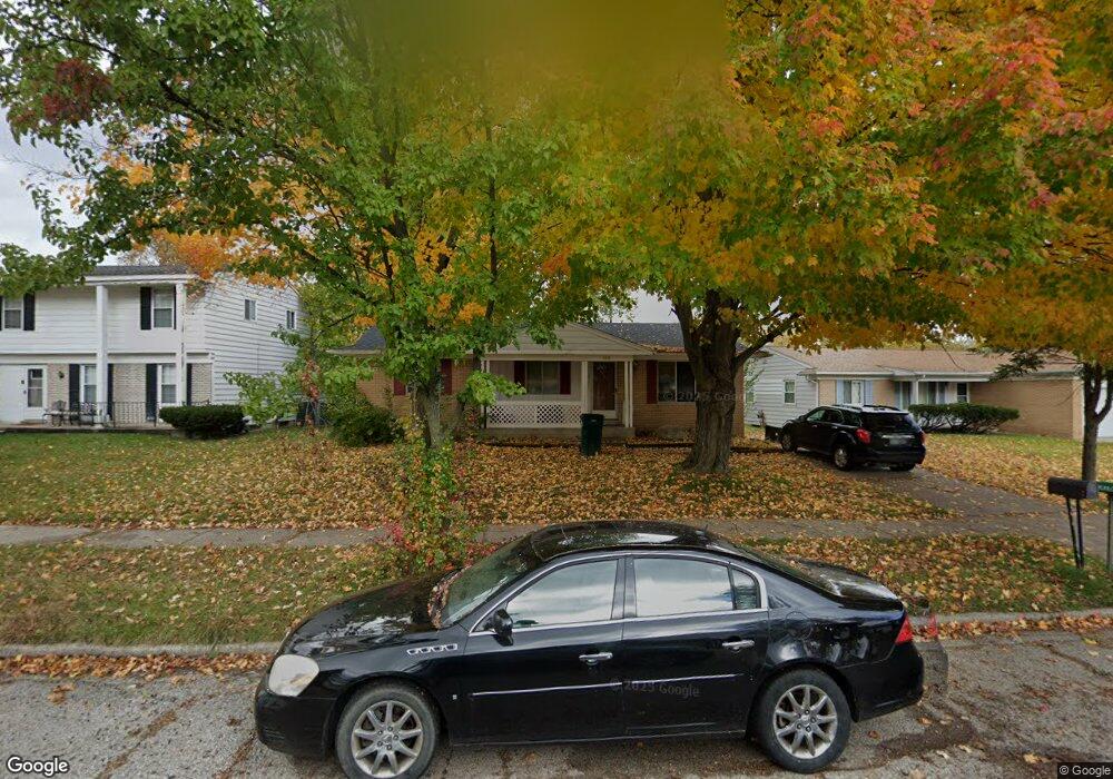
4030 Rivershell Ln Lansing, MI 48911
Lansing-Eaton NeighborhoodEstimated Value: $139,000 - $177,000
2
Beds
2
Baths
1,056
Sq Ft
$147/Sq Ft
Est. Value
About This Home
This home is located at 4030 Rivershell Ln, Lansing, MI 48911 and is currently estimated at $155,667, approximately $147 per square foot. 4030 Rivershell Ln is a home located in Eaton County with nearby schools including Averill Elementary School, Attwood School, and J.W. Sexton High School.
Ownership History
Date
Name
Owned For
Owner Type
Purchase Details
Closed on
Mar 10, 2009
Sold by
Mortgage Electronic Registration Systems
Bought by
Wells Fargo Bank National Associatiion
Current Estimated Value
Purchase Details
Closed on
Mar 5, 2009
Sold by
Watson Lionel and Watson Anita
Bought by
Mortgage Electronic Registration Systems
Create a Home Valuation Report for This Property
The Home Valuation Report is an in-depth analysis detailing your home's value as well as a comparison with similar homes in the area
Home Values in the Area
Average Home Value in this Area
Purchase History
| Date | Buyer | Sale Price | Title Company |
|---|---|---|---|
| Wells Fargo Bank National Associatiion | -- | None Available | |
| Mortgage Electronic Registration Systems | $119,416 | None Available |
Source: Public Records
Tax History
| Year | Tax Paid | Tax Assessment Tax Assessment Total Assessment is a certain percentage of the fair market value that is determined by local assessors to be the total taxable value of land and additions on the property. | Land | Improvement |
|---|---|---|---|---|
| 2025 | $3,023 | $63,300 | $0 | $0 |
| 2024 | $5,397 | $59,600 | $0 | $0 |
| 2023 | $5,397 | $54,100 | $0 | $0 |
| 2022 | $2,629 | $48,700 | $0 | $0 |
| 2021 | $2,530 | $43,200 | $0 | $0 |
| 2020 | $2,515 | $41,000 | $0 | $0 |
| 2019 | $2,461 | $37,200 | $0 | $0 |
| 2018 | $2,318 | $31,500 | $0 | $0 |
| 2017 | $2,269 | $30,200 | $0 | $0 |
| 2016 | $1,891 | $30,200 | $0 | $0 |
| 2015 | -- | $30,300 | $0 | $0 |
| 2014 | -- | $31,800 | $0 | $0 |
| 2013 | -- | $33,100 | $0 | $0 |
Source: Public Records
Map
Nearby Homes
- 4130 Windward Dr
- 3725 Alpine Dr
- 4400 Chadburne Dr
- 3700 W Holmes Rd
- 3924 Wedgewood Dr
- 3214 Rayborn Dr
- 3618 Malibu Dr
- 3536 Maybel St
- 3600 Sandhurst Dr
- 2 Locust Ln
- 3100 Glenbrook Dr
- 2838 Sunderland Rd
- 4632 Old Lansing Rd
- 3230 S Deerfield Ave
- 0 S Deerfield Ave
- 3401 S Deerfield Ave
- 2800 S Waverly Rd
- 3344 Brisbane Dr
- 3211 S Deerfield Ave
- 5012 Westhill Dr
- 4026 Rivershell Ln
- 4038 Rivershell Ln
- 4020 Rivershell Ln
- 4033 Woodcreek Ln
- 4100 Rivershell Ln
- 4027 Woodcreek Ln
- 4101 Woodcreek Ln
- 4023 Woodcreek Ln
- 4016 Rivershell Ln
- 4033 Rivershell Ln
- 4041 Rivershell Ln
- 4110 Rivershell Ln
- 4045 Rivershell Ln
- 4109 Woodcreek Ln
- 4021 Rivershell Ln
- 4017 Woodcreek Ln
- 4101 Rivershell Ln
- 4010 Rivershell Ln
- 4107 Rivershell Ln
Your Personal Tour Guide
Ask me questions while you tour the home.