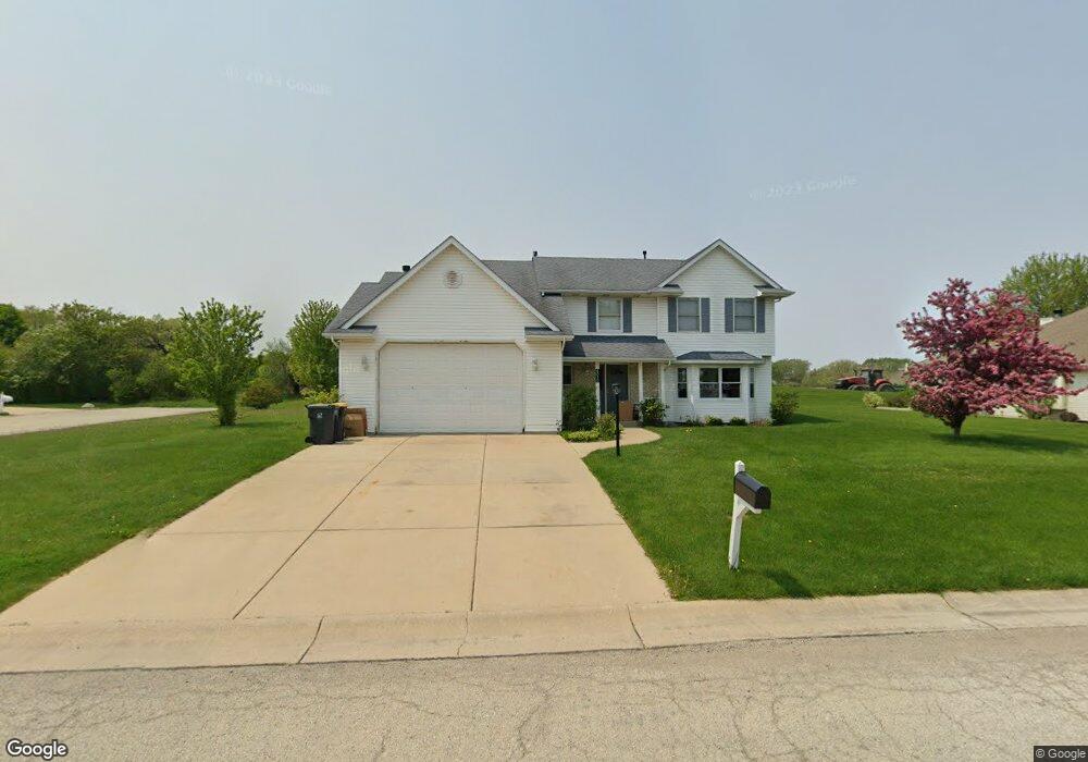
4030 Royal Oaks Dr Mount Pleasant, WI 53406
Estimated Value: $380,000 - $457,000
4
Beds
3
Baths
1,988
Sq Ft
$208/Sq Ft
Est. Value
About This Home
This home is located at 4030 Royal Oaks Dr, Mount Pleasant, WI 53406 and is currently estimated at $414,355, approximately $208 per square foot. 4030 Royal Oaks Dr is a home located in Racine County with nearby schools including Schulte Elementary School, Mitchell Middle School, and Case High School.
Ownership History
Date
Name
Owned For
Owner Type
Purchase Details
Closed on
Jun 10, 2022
Sold by
Gordon Roderick D and Gordon Kari S
Bought by
Brandt Kristin and Gordon Benjamin
Current Estimated Value
Home Financials for this Owner
Home Financials are based on the most recent Mortgage that was taken out on this home.
Original Mortgage
$240,000
Outstanding Balance
$228,020
Interest Rate
5.1%
Mortgage Type
New Conventional
Estimated Equity
$186,335
Create a Home Valuation Report for This Property
The Home Valuation Report is an in-depth analysis detailing your home's value as well as a comparison with similar homes in the area
Home Values in the Area
Average Home Value in this Area
Purchase History
| Date | Buyer | Sale Price | Title Company |
|---|---|---|---|
| Brandt Kristin | $300,000 | None Listed On Document |
Source: Public Records
Mortgage History
| Date | Status | Borrower | Loan Amount |
|---|---|---|---|
| Open | Brandt Kristin | $240,000 |
Source: Public Records
Tax History Compared to Growth
Tax History
| Year | Tax Paid | Tax Assessment Tax Assessment Total Assessment is a certain percentage of the fair market value that is determined by local assessors to be the total taxable value of land and additions on the property. | Land | Improvement |
|---|---|---|---|---|
| 2024 | $5,581 | $358,400 | $77,000 | $281,400 |
| 2023 | $5,398 | $337,800 | $71,800 | $266,000 |
| 2022 | $5,175 | $320,200 | $71,800 | $248,400 |
| 2021 | $6,183 | $291,900 | $65,300 | $226,600 |
| 2020 | $5,437 | $243,700 | $36,700 | $207,000 |
| 2019 | $5,433 | $243,700 | $36,700 | $207,000 |
| 2018 | $5,451 | $231,000 | $40,200 | $190,800 |
| 2017 | $5,088 | $212,100 | $40,200 | $171,900 |
| 2016 | $5,105 | $201,700 | $40,200 | $161,500 |
| 2015 | $4,143 | $201,700 | $40,200 | $161,500 |
| 2014 | $3,912 | $201,700 | $40,200 | $161,500 |
| 2013 | $5,123 | $201,700 | $40,200 | $161,500 |
Source: Public Records
Map
Nearby Homes
- 4225 Taylor Harbor E Unit 4
- 4247 Taylor Harbor E Unit 3
- 4237 Taylor Harbor W Unit 2
- 4249 Taylor Harbor W Unit 6
- 3845 Lakeview Dr
- 4301 Taylor Harbor E Unit 6
- 5740 Foothill Dr
- 3929 Southwood Dr
- 3600 Sovereign Dr
- 4744 Saint Regis Dr
- 6358 Biscayne Ave
- 3839 Blossom Dr
- 4218 Meachem Rd
- 4928 Yates Dr
- 4930 Yates Dr
- 4930 Yates Dr Unit 75
- 4928 Yates Dr Unit 76
- 3403 Oakwood Dr
- 4620 Taylor Ave
- 3154 Wood Rd Unit 11
- 4020 Royal Oaks Dr
- 4035 Royal Oaks Dr
- 5711 Hillside Dr
- 4025 Royal Oaks Dr
- 5701 Hillside Dr
- 3950 Royal Oaks Dr
- 3955 Royal Oaks Dr
- 5641 Hillside Dr
- 3940 Royal Oaks Dr
- 5631 Hillside Dr
- 3945 Royal Oaks Dr
- 5710 Braun Rd
- 5700 Braun Rd
- 5728 Braun Rd
- 5642 Braun Rd
- 3930 Royal Oaks Dr
- 5738 Braun Rd
- 3935 Royal Oaks Dr
- 5812 Braun Rd
- 3920 Royal Oaks Dr