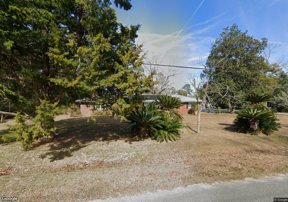
4030 Spence St Ochlocknee, GA 31773
Estimated Value: $181,000 - $276,000
--
Bed
2
Baths
2,310
Sq Ft
$95/Sq Ft
Est. Value
About This Home
This home is located at 4030 Spence St, Ochlocknee, GA 31773 and is currently estimated at $220,499, approximately $95 per square foot. 4030 Spence St is a home located in Thomas County with nearby schools including Hand in Hand Primary School, Cross Creek Elementary School, and Garrison-Pilcher Elementary School.
Ownership History
Date
Name
Owned For
Owner Type
Purchase Details
Closed on
Jul 19, 2021
Sold by
Brown Rentals Of Ochlocknee Llc
Bought by
Brown Philip and Brown Stephanie
Current Estimated Value
Home Financials for this Owner
Home Financials are based on the most recent Mortgage that was taken out on this home.
Original Mortgage
$132,000
Outstanding Balance
$119,824
Interest Rate
2.93%
Mortgage Type
New Conventional
Estimated Equity
$100,675
Purchase Details
Closed on
Jan 4, 2021
Sold by
Dixon Donna E
Bought by
Brown Rentals Of Ochlocknee Llc
Purchase Details
Closed on
May 31, 2018
Sold by
Edwards Mary Jane
Bought by
Dixon Donna E
Purchase Details
Closed on
Jul 10, 1989
Bought by
Edwards William J
Create a Home Valuation Report for This Property
The Home Valuation Report is an in-depth analysis detailing your home's value as well as a comparison with similar homes in the area
Home Values in the Area
Average Home Value in this Area
Purchase History
| Date | Buyer | Sale Price | Title Company |
|---|---|---|---|
| Brown Philip | $165,000 | -- | |
| Brown Rentals Of Ochlocknee Llc | $24,198 | -- | |
| Dixon Donna E | $69,869 | -- | |
| Edwards William J | $50,000 | -- |
Source: Public Records
Mortgage History
| Date | Status | Borrower | Loan Amount |
|---|---|---|---|
| Open | Brown Philip | $132,000 |
Source: Public Records
Tax History Compared to Growth
Tax History
| Year | Tax Paid | Tax Assessment Tax Assessment Total Assessment is a certain percentage of the fair market value that is determined by local assessors to be the total taxable value of land and additions on the property. | Land | Improvement |
|---|---|---|---|---|
| 2024 | $2,308 | $81,153 | $9,600 | $71,553 |
| 2023 | $2,148 | $76,798 | $9,600 | $67,198 |
| 2022 | $1,438 | $61,591 | $8,000 | $53,591 |
| 2021 | $727 | $27,550 | $8,000 | $19,550 |
| 2020 | $739 | $27,370 | $8,000 | $19,370 |
| 2019 | $744 | $27,370 | $8,000 | $19,370 |
| 2018 | $719 | $27,948 | $8,000 | $19,948 |
| 2017 | $710 | $27,258 | $7,120 | $20,138 |
| 2016 | $703 | $26,934 | $7,120 | $19,814 |
| 2015 | $819 | $30,820 | $6,640 | $24,180 |
| 2014 | $807 | $30,230 | $6,640 | $23,590 |
| 2013 | -- | $30,229 | $6,640 | $23,589 |
Source: Public Records
Map
Nearby Homes
- 27286 U S Highway 19
- 27286 U S 19
- 23481 U S 19
- 00 Rupp Rd
- 5488 Bulloch Rd
- 210 Egg and Butter Rd N
- 210 Egg & Butter Rd
- 107 Mossy Creek Way
- 105 Mossy Creek Way
- 00 Parcel # 053a313 West Shore Dr Lot 21
- 126 Banks Rd
- 900 Benton Rd
- 475 W Shore Dr
- 365 W Shore Dr
- 693 W Shore Dr
- 800 N Westshore Dr
- 800 Westshore Dr
- 106 Spiral Rd
- 4031 Spence St
- 3092 Spence St
- 4060 Spence St
- 2062 Spence St
- Tract 6 Bullock Rd
- Tract 5 Bullock Rd
- 1065 Beverly St
- 3077 Spence St
- 3025 Beverly St
- 3050 Spence St
- Lot 8 & Bullock Rd
- 3059 Spence St
- 1211 Bullock Rd
- 1086 Bullock St
- 1056 Beverly St
- 1136 Beverly St
- 5006 Spence St
- 3041 Spence St
- 2061 Bulloch St
- 1036 Beverly St