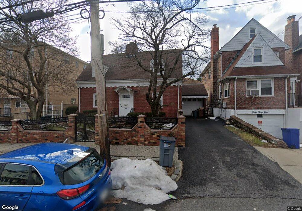
4031 Amundson Ave Bronx, NY 10466
Edenwald NeighborhoodEstimated Value: $576,815 - $737,000
--
Bed
--
Bath
1,203
Sq Ft
$534/Sq Ft
Est. Value
About This Home
This home is located at 4031 Amundson Ave, Bronx, NY 10466 and is currently estimated at $642,704, approximately $534 per square foot. 4031 Amundson Ave is a home located in Bronx County with nearby schools including P.S. 68 - Bronx, One World Middle School At Edenwald, and Baychester Middle School.
Ownership History
Date
Name
Owned For
Owner Type
Purchase Details
Closed on
Dec 22, 1999
Sold by
Schober Henry T
Bought by
Williams Rafhelitha
Current Estimated Value
Home Financials for this Owner
Home Financials are based on the most recent Mortgage that was taken out on this home.
Original Mortgage
$213,498
Interest Rate
8.21%
Mortgage Type
FHA
Create a Home Valuation Report for This Property
The Home Valuation Report is an in-depth analysis detailing your home's value as well as a comparison with similar homes in the area
Home Values in the Area
Average Home Value in this Area
Purchase History
| Date | Buyer | Sale Price | Title Company |
|---|---|---|---|
| Williams Rafhelitha | $240,000 | -- |
Source: Public Records
Mortgage History
| Date | Status | Borrower | Loan Amount |
|---|---|---|---|
| Previous Owner | Williams Rafhelitha | $213,498 |
Source: Public Records
Tax History Compared to Growth
Tax History
| Year | Tax Paid | Tax Assessment Tax Assessment Total Assessment is a certain percentage of the fair market value that is determined by local assessors to be the total taxable value of land and additions on the property. | Land | Improvement |
|---|---|---|---|---|
| 2025 | $5,883 | $30,413 | $8,437 | $21,976 |
| 2024 | $5,883 | $29,290 | $9,244 | $20,046 |
| 2023 | $5,636 | $27,749 | $7,824 | $19,925 |
| 2022 | $5,226 | $34,260 | $10,320 | $23,940 |
| 2021 | $5,509 | $30,600 | $10,320 | $20,280 |
| 2020 | $5,365 | $31,500 | $10,320 | $21,180 |
| 2019 | $5,106 | $31,500 | $10,320 | $21,180 |
| 2018 | $4,714 | $23,124 | $7,205 | $15,919 |
| 2017 | $4,447 | $21,816 | $8,087 | $13,729 |
| 2016 | $4,361 | $21,816 | $9,597 | $12,219 |
| 2015 | $2,262 | $21,120 | $11,100 | $10,020 |
| 2014 | $2,262 | $20,340 | $11,100 | $9,240 |
Source: Public Records
Map
Nearby Homes
- 2181 Strang Ave
- 3963 Duryea Ave
- 3943 Seton Ave
- 3968 Duryea Ave
- 3964 Duryea Ave
- 3943 Hill Ave
- 4073 Monticello Ave
- 3924 Duryea Ave
- 1405 E 233rd St
- 32 Duryea Ave
- 3919 Pratt Ave
- 4016 Wilder Ave
- 4040 Pratt Ave
- 4044 Pratt Ave
- 3919 Murdock Ave
- 4118 Hill Ave
- 2123 Garrett Place
- 3946 Secor Ave
- 4116 Wilder Ave
- 4135 Murdock Ave
- 4035 Amundson Ave
- 4027 Amundson Ave
- 4025 Amundson Ave Unit 4027
- 4025-4027 Amundson Ave
- 4037 Amundson Ave
- 4039 Amundson Ave
- 4032 Seton Ave
- 4028 Seton Ave
- 4041 Amundson Ave
- 4024 Seton Ave
- 4038 Seton Ave
- 4015 Amundson Ave
- 4018 Seton Ave
- 4043 Amundson Ave
- 4040 Seton Ave
- 4034 Amundson Ave
- 4022 Amundson Ave
- 4022 Amundson Ave Unit 2
- 4038 Amundson Ave
- 4016 Seton Ave