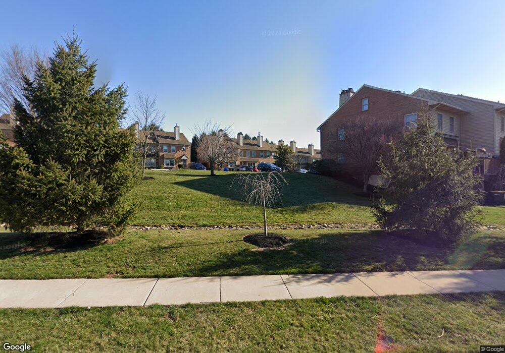
4032 Ottawa Ct Skippack, PA 19474
Estimated Value: $237,000 - $395,818
3
Beds
3
Baths
1,760
Sq Ft
$197/Sq Ft
Est. Value
About This Home
This home is located at 4032 Ottawa Ct, Skippack, PA 19474 and is currently estimated at $347,205, approximately $197 per square foot. 4032 Ottawa Ct is a home with nearby schools including Skippack Elementary School and Perkiomen Valley Middle School West.
Ownership History
Date
Name
Owned For
Owner Type
Purchase Details
Closed on
Dec 21, 2010
Sold by
Decarme Maureen B
Bought by
Howitz Stephen A and Howitz Trish A
Current Estimated Value
Home Financials for this Owner
Home Financials are based on the most recent Mortgage that was taken out on this home.
Original Mortgage
$61,700
Outstanding Balance
$41,136
Interest Rate
4.4%
Estimated Equity
$306,069
Purchase Details
Closed on
Sep 30, 1999
Sold by
Leparulo Judith K
Bought by
Decarme L George and Decarme Maureen B
Create a Home Valuation Report for This Property
The Home Valuation Report is an in-depth analysis detailing your home's value as well as a comparison with similar homes in the area
Home Values in the Area
Average Home Value in this Area
Purchase History
| Date | Buyer | Sale Price | Title Company |
|---|---|---|---|
| Howitz Stephen A | $65,000 | None Available | |
| Decarme L George | $128,000 | -- |
Source: Public Records
Mortgage History
| Date | Status | Borrower | Loan Amount |
|---|---|---|---|
| Open | Howitz Stephen A | $61,700 |
Source: Public Records
Tax History Compared to Growth
Tax History
| Year | Tax Paid | Tax Assessment Tax Assessment Total Assessment is a certain percentage of the fair market value that is determined by local assessors to be the total taxable value of land and additions on the property. | Land | Improvement |
|---|---|---|---|---|
| 2025 | $5,217 | $124,570 | $20,250 | $104,320 |
| 2024 | $5,217 | $124,570 | $20,250 | $104,320 |
| 2023 | $5,033 | $124,570 | $20,250 | $104,320 |
| 2022 | $4,918 | $124,570 | $20,250 | $104,320 |
| 2021 | $4,840 | $124,570 | $20,250 | $104,320 |
| 2020 | $4,720 | $124,570 | $20,250 | $104,320 |
| 2019 | $4,659 | $124,570 | $20,250 | $104,320 |
| 2018 | $524 | $124,570 | $20,250 | $104,320 |
| 2017 | $4,460 | $124,570 | $20,250 | $104,320 |
| 2016 | $4,411 | $124,570 | $20,250 | $104,320 |
| 2015 | $4,238 | $124,570 | $20,250 | $104,320 |
| 2014 | $4,238 | $124,570 | $20,250 | $104,320 |
Source: Public Records
Map
Nearby Homes
- 3919 Gatehouse Ln
- 4313 Wendy Way
- 1134 Michele Ave
- 1100 Cressman Rd
- 1056 Bridge Rd Unit 6
- 1054 Bridge Rd Unit 5
- 1052 Bridge Rd Unit 4
- 1050 Bridge Rd Unit 3
- 1048 Bridge Rd Unit 2
- 1046 Bridge Rd Unit 1
- 0 Ashland Dr Unit PAMC2148822
- 2061 Integrity Ave
- 20 Township Line Rd
- 962 Bridge Rd
- 974 Dogwood Ln
- 961 Harleysville Pike
- 901 Ashbourne Way
- 763 Jubb Ln
- 757 Village Ave
- Rollins Craftsman