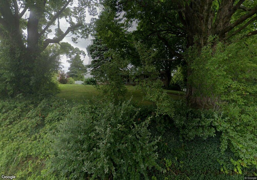
4033 92nd St SW Byron Center, MI 49315
Estimated Value: $395,000 - $500,000
5
Beds
3
Baths
3,000
Sq Ft
$153/Sq Ft
Est. Value
About This Home
This home is located at 4033 92nd St SW, Byron Center, MI 49315 and is currently estimated at $457,667, approximately $152 per square foot. 4033 92nd St SW is a home located in Kent County with nearby schools including Brown Elementary School, Robert L. Nickels Intermediate School, and Byron Center West Middle School.
Ownership History
Date
Name
Owned For
Owner Type
Purchase Details
Closed on
May 14, 2010
Sold by
Pals Paul E and Pals Barbara
Bought by
Vandenberg Cheryl S and Cuddohy Patrick J
Current Estimated Value
Home Financials for this Owner
Home Financials are based on the most recent Mortgage that was taken out on this home.
Original Mortgage
$176,621
Outstanding Balance
$118,787
Interest Rate
5.12%
Mortgage Type
FHA
Estimated Equity
$338,880
Create a Home Valuation Report for This Property
The Home Valuation Report is an in-depth analysis detailing your home's value as well as a comparison with similar homes in the area
Home Values in the Area
Average Home Value in this Area
Purchase History
| Date | Buyer | Sale Price | Title Company |
|---|---|---|---|
| Vandenberg Cheryl S | $179,000 | None Available |
Source: Public Records
Mortgage History
| Date | Status | Borrower | Loan Amount |
|---|---|---|---|
| Open | Vandenberg Cheryl S | $176,621 |
Source: Public Records
Tax History Compared to Growth
Tax History
| Year | Tax Paid | Tax Assessment Tax Assessment Total Assessment is a certain percentage of the fair market value that is determined by local assessors to be the total taxable value of land and additions on the property. | Land | Improvement |
|---|---|---|---|---|
| 2025 | $2,292 | $194,900 | $0 | $0 |
| 2024 | $2,292 | $179,000 | $0 | $0 |
| 2023 | $2,192 | $152,200 | $0 | $0 |
| 2022 | $3,011 | $122,600 | $0 | $0 |
| 2021 | $2,930 | $121,800 | $0 | $0 |
| 2020 | $2,018 | $128,100 | $0 | $0 |
| 2019 | $2,860 | $121,100 | $0 | $0 |
| 2018 | $2,801 | $114,100 | $20,800 | $93,300 |
| 2017 | $2,725 | $102,700 | $0 | $0 |
| 2016 | $2,627 | $98,100 | $0 | $0 |
| 2015 | $2,581 | $98,100 | $0 | $0 |
| 2013 | -- | $84,200 | $0 | $0 |
Source: Public Records
Map
Nearby Homes
- 3410 92nd St SW
- 3370 92nd St SW
- 9277 Ivanrest Ave SW
- 8441 Homerich Ave SW
- V/L Ivanrest Ave SW
- 3152 84th St SW
- 3563 Conrail Dr
- 8047 Erie Dr
- 8549 Eldora Dr SW
- Redwood Plan at Railside - Woodland Series
- Sycamore Plan at Railside - Woodland Series
- Bay Harbor Plan at Railside - Landmark Series
- Northport Plan at Railside - Landmark Series
- Pentwater Plan at Railside - Landmark Series
- Oakwood Plan at Railside - Woodland Series
- 8115 Byron Depot Dr SW
- 8564 Elkwood Dr SW
- 8541 Woodhaven Dr SW
- 7998 Byron Depot Dr SW
- 10711 Windward Ave SW
- 4013 92nd St SW
- 4045 92nd St SW
- 9190 Wilson Ave SW
- 4071 92nd St SW
- 9230 Wilson Ave SW
- 9254 Wilson Ave SW
- 4075 92nd St SW
- 3998 92nd St SW
- 9292 Wilson Ave SW
- 9303 Wilson Ave SW
- 3909 92nd St SW
- 9028 Wilson Ave SW
- 4185 92nd St SW
- 9045 Wilson Ave SW
- 3993 92nd St SW
- 3994 92nd St SW
- 9015 Wilson Ave SW
- 4200 92nd St SW
- 9350 Wilson Ave SW
- 9057 Wilson Ave SW
