Estimated Value: $256,000 - $339,000
2
Beds
2
Baths
1,556
Sq Ft
$193/Sq Ft
Est. Value
About This Home
This home is located at 4034 Brookshore Dr, Lima, OH 45801 and is currently estimated at $299,623, approximately $192 per square foot. 4034 Brookshore Dr is a home located in Allen County with nearby schools including Bath Elementary School, Bath Middle School, and Bath High School.
Ownership History
Date
Name
Owned For
Owner Type
Purchase Details
Closed on
Aug 29, 2006
Sold by
Denman Jane S and Howald Milena J
Bought by
Warnement Richard L and Warnement Barbara D
Current Estimated Value
Home Financials for this Owner
Home Financials are based on the most recent Mortgage that was taken out on this home.
Original Mortgage
$70,000
Outstanding Balance
$42,289
Interest Rate
6.78%
Mortgage Type
Purchase Money Mortgage
Estimated Equity
$257,334
Purchase Details
Closed on
Jan 19, 2001
Sold by
Rj Stone Dev Group Inc
Bought by
Denman Darrell and Denman Jane S
Create a Home Valuation Report for This Property
The Home Valuation Report is an in-depth analysis detailing your home's value as well as a comparison with similar homes in the area
Home Values in the Area
Average Home Value in this Area
Purchase History
| Date | Buyer | Sale Price | Title Company |
|---|---|---|---|
| Warnement Richard L | $164,500 | None Available | |
| Denman Darrell | $140,420 | -- |
Source: Public Records
Mortgage History
| Date | Status | Borrower | Loan Amount |
|---|---|---|---|
| Open | Warnement Richard L | $70,000 |
Source: Public Records
Tax History Compared to Growth
Tax History
| Year | Tax Paid | Tax Assessment Tax Assessment Total Assessment is a certain percentage of the fair market value that is determined by local assessors to be the total taxable value of land and additions on the property. | Land | Improvement |
|---|---|---|---|---|
| 2024 | $3,462 | $89,390 | $14,630 | $74,760 |
| 2023 | $2,346 | $61,640 | $10,080 | $51,560 |
| 2022 | $2,388 | $61,640 | $10,080 | $51,560 |
| 2021 | $2,402 | $61,640 | $10,080 | $51,560 |
| 2020 | $2,116 | $51,280 | $10,080 | $41,200 |
| 2019 | $2,116 | $51,280 | $10,080 | $41,200 |
| 2018 | $2,065 | $51,280 | $10,080 | $41,200 |
| 2017 | $1,981 | $49,320 | $10,080 | $39,240 |
| 2016 | $1,954 | $49,320 | $10,080 | $39,240 |
| 2015 | $1,954 | $49,320 | $10,080 | $39,240 |
| 2014 | $2,027 | $49,210 | $10,080 | $39,130 |
| 2013 | $2,030 | $49,210 | $10,080 | $39,130 |
Source: Public Records
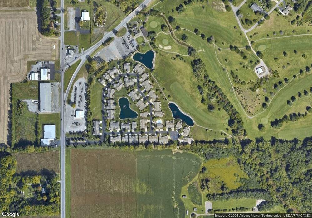
Map
Nearby Homes
- 4050 Brookshore Dr
- 4080 Brookshore Dr
- 3270 Bonnieview Dr
- 3798 Kissing Hollow Dr
- 1129 W Bluelick Rd
- 3456 Shearin Ave
- 0 Fraunfelter Unit 307817
- 0 N Eastown Rd Unit 1034495
- 2370 N McDonel St
- 168 Lyre Bird Ln
- 1679 E Bluelick Rd
- 2718 Carolyn Dr
- 2371 Mandolin Dr
- 2630 Carolyn Dr
- 105 Watt Ave
- 1743 Sherry Lee Dr
- 2104 Virginia Ave
- 700 Lewis Blvd
- 1619 Northbrook Dr
- 410 W Northern Ave
- 4040 Brookshore Dr
- 4028 Brookshore Dr
- 4055 Brookshore Dr
- 4031 Brookshore Dr
- 4049 Brookshore Dr
- 0000 Brookshore Dr
- 0000 Brookshore Dr
- 170 Brookview Ct
- 4025 Brookshore Dr Unit 52
- 4021 Brookshore Dr
- 146 Brookview Ct Unit 10
- 142 Brookview Ct Unit 11
- 4065 Brookshore Dr
- 4065 Brookshore Dr
- 220 Brookview Ct
- 4061 Brookshore Dr Unit 26