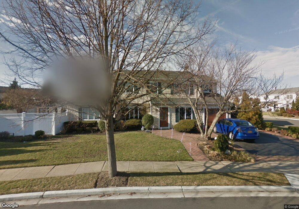
4034 Darby Ln Seaford, NY 11783
Estimated Value: $965,153 - $1,299,000
--
Bed
3
Baths
2,842
Sq Ft
$398/Sq Ft
Est. Value
About This Home
This home is located at 4034 Darby Ln, Seaford, NY 11783 and is currently estimated at $1,132,077, approximately $398 per square foot. 4034 Darby Ln is a home located in Nassau County with nearby schools including Seaford Middle School, Seaford Senior High School, and St. William the Abbot School.
Ownership History
Date
Name
Owned For
Owner Type
Purchase Details
Closed on
Mar 16, 2011
Sold by
Donnelly Brian and Donnelly Christine
Bought by
Collicho Jason and Collicho Christina
Current Estimated Value
Home Financials for this Owner
Home Financials are based on the most recent Mortgage that was taken out on this home.
Original Mortgage
$518,000
Outstanding Balance
$24,284
Interest Rate
5.04%
Mortgage Type
Unknown
Estimated Equity
$1,107,793
Purchase Details
Closed on
Jan 24, 2002
Sold by
Scavetta Peter L
Bought by
Donnelly Brian
Create a Home Valuation Report for This Property
The Home Valuation Report is an in-depth analysis detailing your home's value as well as a comparison with similar homes in the area
Home Values in the Area
Average Home Value in this Area
Purchase History
| Date | Buyer | Sale Price | Title Company |
|---|---|---|---|
| Collicho Jason | $647,500 | -- | |
| Donnelly Brian | $515,000 | Vincent Esposito |
Source: Public Records
Mortgage History
| Date | Status | Borrower | Loan Amount |
|---|---|---|---|
| Open | Collicho Jason | $518,000 |
Source: Public Records
Tax History Compared to Growth
Tax History
| Year | Tax Paid | Tax Assessment Tax Assessment Total Assessment is a certain percentage of the fair market value that is determined by local assessors to be the total taxable value of land and additions on the property. | Land | Improvement |
|---|---|---|---|---|
| 2025 | $18,011 | $603 | $215 | $388 |
| 2024 | $4,765 | $619 | $221 | $398 |
| 2023 | $18,989 | $662 | $236 | $426 |
| 2022 | $18,989 | $662 | $236 | $426 |
| 2021 | $24,119 | $650 | $232 | $418 |
| 2020 | $17,623 | $1,016 | $709 | $307 |
| 2019 | $17,220 | $1,016 | $709 | $307 |
| 2018 | $16,227 | $1,016 | $0 | $0 |
| 2017 | $9,934 | $1,016 | $669 | $347 |
| 2016 | $14,553 | $1,076 | $603 | $473 |
| 2015 | $4,795 | $1,136 | $627 | $509 |
| 2014 | $4,795 | $1,136 | $627 | $509 |
| 2013 | $5,083 | $1,284 | $709 | $575 |
Source: Public Records
Map
Nearby Homes
- 2701 S Seamans Neck Rd
- 2573 Harvard Ln
- 7 Crescent Cove Dr
- 0 Island Place Unit 3107575
- 2437 Archer St
- 65 Jefferson Place
- 3717 Somerset Dr
- 10 Garfield Place
- 94 Forest Ave
- 3695 Somerset Dr
- 75 Forest Ave
- 2655 Ocean Ave
- 3875 South St
- 2601 Ocean Ave
- 3663 Roanoke St
- 3570 Plover Place
- 3609 Somerset Dr
- 2370 Narraganset Ave
- 2349 S Seamans Neck Rd
- 33 W End Ave