4036 Hillsdale Dr Unit 247 Auburn Hills, MI 48326
Estimated Value: $514,000 - $603,000
5
Beds
4
Baths
2,636
Sq Ft
$217/Sq Ft
Est. Value
About This Home
This home is located at 4036 Hillsdale Dr Unit 247, Auburn Hills, MI 48326 and is currently estimated at $571,439, approximately $216 per square foot. 4036 Hillsdale Dr Unit 247 is a home located in Oakland County with nearby schools including Rogers Elementary, Pontiac Middle School, and Pontiac High School.
Ownership History
Date
Name
Owned For
Owner Type
Purchase Details
Closed on
Nov 27, 2024
Sold by
Johnston Franklin H and Johnston Janice R
Bought by
Johnston Franklin H and Johnston Janice R
Current Estimated Value
Purchase Details
Closed on
Aug 30, 2002
Sold by
Heritage Of Auburn Hills Llc
Bought by
Johnston Franklin H and Johnston Janice R
Create a Home Valuation Report for This Property
The Home Valuation Report is an in-depth analysis detailing your home's value as well as a comparison with similar homes in the area
Home Values in the Area
Average Home Value in this Area
Purchase History
| Date | Buyer | Sale Price | Title Company |
|---|---|---|---|
| Johnston Franklin H | -- | None Listed On Document | |
| Johnston Franklin H | $387,934 | -- |
Source: Public Records
Mortgage History
| Date | Status | Borrower | Loan Amount |
|---|---|---|---|
| Previous Owner | Johnston Frank H | $250,000 |
Source: Public Records
Tax History Compared to Growth
Tax History
| Year | Tax Paid | Tax Assessment Tax Assessment Total Assessment is a certain percentage of the fair market value that is determined by local assessors to be the total taxable value of land and additions on the property. | Land | Improvement |
|---|---|---|---|---|
| 2024 | $3,052 | $279,080 | $0 | $0 |
| 2023 | $2,912 | $243,820 | $0 | $0 |
| 2022 | $5,141 | $227,630 | $0 | $0 |
| 2021 | $5,057 | $222,890 | $0 | $0 |
| 2020 | $2,740 | $219,450 | $0 | $0 |
| 2019 | $4,642 | $216,600 | $0 | $0 |
| 2018 | $4,540 | $226,430 | $0 | $0 |
| 2017 | $4,304 | $221,210 | $0 | $0 |
| 2016 | $4,275 | $210,780 | $0 | $0 |
| 2015 | -- | $189,300 | $0 | $0 |
| 2014 | -- | $155,260 | $0 | $0 |
| 2011 | -- | $124,350 | $0 | $0 |
Source: Public Records
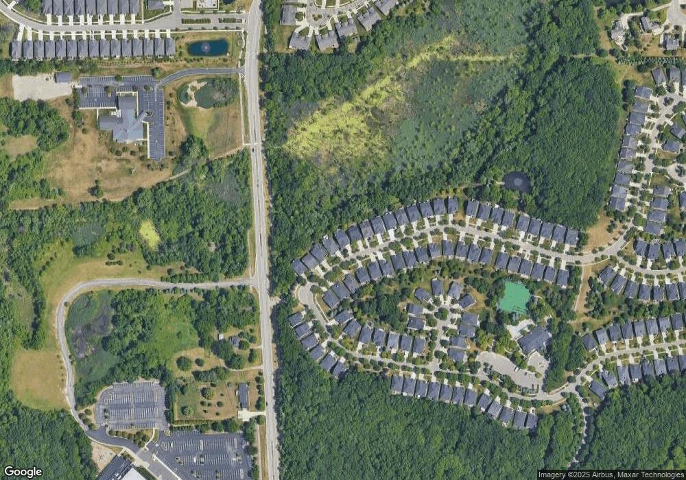
Map
Nearby Homes
- 4035 Hillsdale Dr Unit 275
- 3534 Riverside Dr Unit 141
- 3640 Camden Ct
- 3634 Camden Ct
- 3780 Bald Mountain Rd
- 3633 Thornwood Dr
- 3674 Merriweather Ln
- 3879 Teakwood Ln
- 3095 Bridgewater Rd Unit 30
- 3057 Bridgewater Rd
- 3111 Ramzi Ln
- 1906 Independence Ct
- 423 Silvervale Dr
- 5700 Rolling Hills Dr
- 3273 Salem Dr
- 3101 Elstead St
- 2638 Patrick Henry Rd
- 3639 Heatherwood Ct
- 2530 Patrick Henry St
- 3164 Bookham Cir
- 4038 Hillsdale Dr Unit Bldg-Unit
- 4038 Hillsdale Dr Unit 248
- 4034 Hillsdale Dr Unit 246
- 4032 Hillsdale Dr Unit 245
- 4040 Hillsdale Dr Unit 249
- 4030 Hillsdale Dr Unit 244
- 4042 Hillsdale Dr Unit 250
- 4028 Hillsdale Dr Unit 243
- 4044 Hillsdale Dr Unit 251
- 4031 Hillsdale Dr
- 4037 Hillsdale Dr Unit 276
- 4026 Hillsdale Dr Unit 242
- 4029 Hillsdale Dr Unit 272
- 4039 Hillsdale Dr Unit 277
- 4027 Hillsdale Dr Unit 271
- 4024 Hillsdale Dr Unit 241
- 4025 Hillsdale Dr Unit 270
- 3805 Hillsdale Dr Unit 278
- 4023 Hillsdale Dr Unit 269
- 4022 Hillsdale Dr