4036 Ryland Dr Springfield, OH 45503
Estimated Value: $128,652 - $145,000
2
Beds
2
Baths
878
Sq Ft
$156/Sq Ft
Est. Value
About This Home
This home is located at 4036 Ryland Dr, Springfield, OH 45503 and is currently estimated at $136,913, approximately $155 per square foot. 4036 Ryland Dr is a home located in Clark County with nearby schools including Northridge Elementary School, Kenton Ridge Middle & High School, and Emmanuel Christian Academy.
Ownership History
Date
Name
Owned For
Owner Type
Purchase Details
Closed on
Mar 21, 2013
Sold by
Hixson Patricia L
Bought by
Gray Eric M
Current Estimated Value
Home Financials for this Owner
Home Financials are based on the most recent Mortgage that was taken out on this home.
Original Mortgage
$53,000
Outstanding Balance
$36,910
Interest Rate
3.48%
Mortgage Type
New Conventional
Estimated Equity
$100,003
Create a Home Valuation Report for This Property
The Home Valuation Report is an in-depth analysis detailing your home's value as well as a comparison with similar homes in the area
Home Values in the Area
Average Home Value in this Area
Purchase History
| Date | Buyer | Sale Price | Title Company |
|---|---|---|---|
| Gray Eric M | -- | None Available |
Source: Public Records
Mortgage History
| Date | Status | Borrower | Loan Amount |
|---|---|---|---|
| Open | Gray Eric M | $53,000 |
Source: Public Records
Tax History
| Year | Tax Paid | Tax Assessment Tax Assessment Total Assessment is a certain percentage of the fair market value that is determined by local assessors to be the total taxable value of land and additions on the property. | Land | Improvement |
|---|---|---|---|---|
| 2025 | $1,257 | $38,860 | $5,880 | $32,980 |
| 2024 | $1,217 | $28,140 | $5,880 | $22,260 |
| 2023 | $1,217 | $28,140 | $5,880 | $22,260 |
| 2022 | $1,221 | $28,140 | $5,880 | $22,260 |
| 2021 | $965 | $18,840 | $4,200 | $14,640 |
| 2020 | $966 | $18,840 | $4,200 | $14,640 |
| 2019 | $984 | $18,840 | $4,200 | $14,640 |
| 2018 | $1,021 | $18,750 | $4,460 | $14,290 |
| 2017 | $879 | $18,754 | $4,463 | $14,291 |
| 2016 | $873 | $18,754 | $4,463 | $14,291 |
| 2015 | $1,053 | $21,784 | $5,250 | $16,534 |
| 2014 | $1,053 | $21,784 | $5,250 | $16,534 |
| 2013 | $1,029 | $21,784 | $5,250 | $16,534 |
Source: Public Records
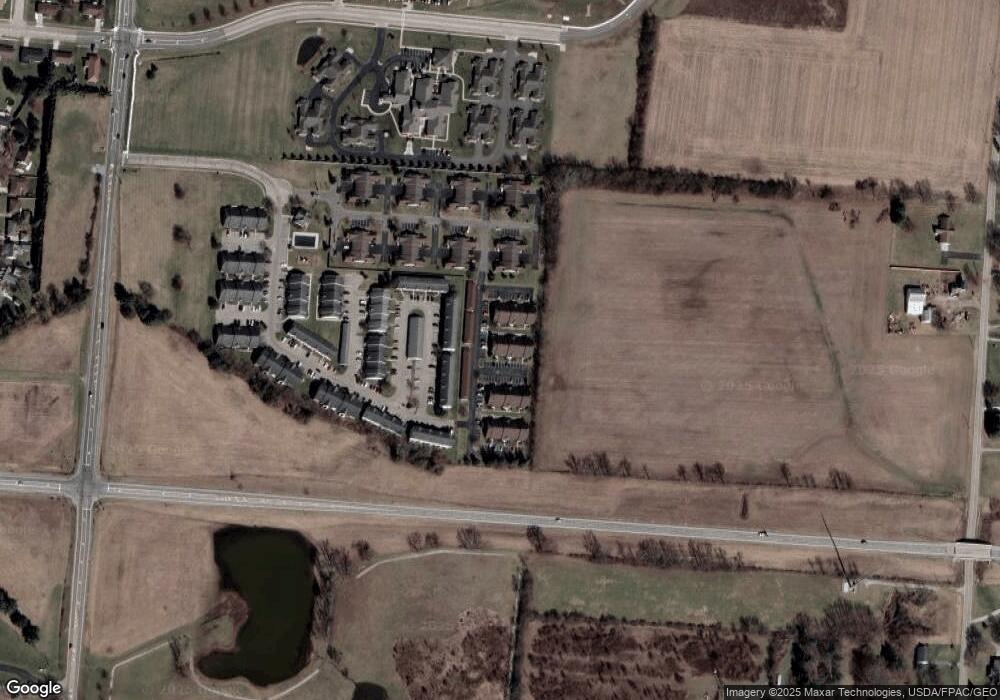
Map
Nearby Homes
- 3969 Covington Dr Unit 3969
- 4028 Ryland Dr Unit 4028
- 1831 Pinehurst Dr Unit 37
- 1711 Pinehurst Dr
- 4500 Bosart Rd
- 1505 Kingsgate Rd
- 1507 Kingsgate Rd
- 1503 Kingsgate Rd
- 3126 Lakeview Ct Unit 3126
- 1500 Kingsgate Rd
- 1502 Kingsgate Rd
- 1500 Kingsgate Rd Unit 19430
- 1502 Kingsgate Rd Unit 19432
- 1509 Kingsgate Rd
- 3631 Kingsgate Ln
- 4256 Midfield St Unit 9
- 4446 Ridgewood Rd E Unit 3
- 4652 Reno Ln Unit 15
- 1341 Student Ave
- 2332 Villa Rd
- 4034 Ryland Dr
- 4038 Ryland Dr Unit 4038
- 4032 Ryland Dr Unit 4032
- 4040 Ryland Dr
- 4040 Ryland Dr Unit 4040
- 4040 Ryland Dr
- 4030 Ryland Dr
- 4042 Ryland Dr Unit 4042
- 4018 Ryland Dr Unit 4018
- 4020 Ryland Dr Unit 4020
- 4022 Ryland Dr Unit 94042
- 4052 Ryland Dr Unit 16
- 4050 Ryland Dr Unit 4050
- 4016 Ryland Dr Unit 4016
- 4014 Ryland Dr Unit 4014
- 4024 Ryland Dr
- 4048 Ryland Dr Unit 4048
- 4048 Ryland Dr Unit XX
- 4012 Ryland Dr
- 4054 Ryland Dr
Your Personal Tour Guide
Ask me questions while you tour the home.