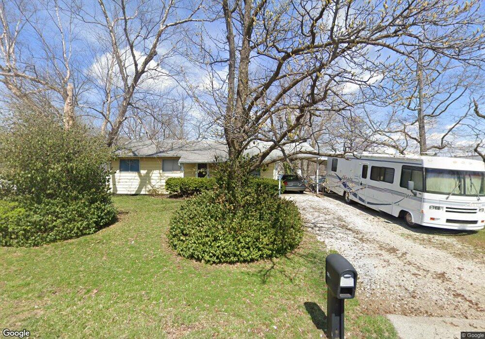
4037 Green Park Rd Saint Louis, MO 63125
Mehlville NeighborhoodEstimated Value: $197,000 - $231,000
3
Beds
1
Bath
1,020
Sq Ft
$213/Sq Ft
Est. Value
About This Home
This home is located at 4037 Green Park Rd, Saint Louis, MO 63125 and is currently estimated at $217,054, approximately $212 per square foot. 4037 Green Park Rd is a home located in St. Louis County with nearby schools including Bierbaum Elementary School, Margaret Buerkle Middle School, and Mehlville High School.
Ownership History
Date
Name
Owned For
Owner Type
Purchase Details
Closed on
Nov 6, 2002
Sold by
Wolff Marilyn K and Rhine Marilyn K
Bought by
Wolff Marilyn K and Rhine Marilyn K
Current Estimated Value
Home Financials for this Owner
Home Financials are based on the most recent Mortgage that was taken out on this home.
Original Mortgage
$55,000
Interest Rate
5.42%
Create a Home Valuation Report for This Property
The Home Valuation Report is an in-depth analysis detailing your home's value as well as a comparison with similar homes in the area
Home Values in the Area
Average Home Value in this Area
Purchase History
| Date | Buyer | Sale Price | Title Company |
|---|---|---|---|
| Wolff Marilyn K | -- | -- |
Source: Public Records
Mortgage History
| Date | Status | Borrower | Loan Amount |
|---|---|---|---|
| Closed | Wolff Marilyn K | $55,000 |
Source: Public Records
Tax History Compared to Growth
Tax History
| Year | Tax Paid | Tax Assessment Tax Assessment Total Assessment is a certain percentage of the fair market value that is determined by local assessors to be the total taxable value of land and additions on the property. | Land | Improvement |
|---|---|---|---|---|
| 2025 | $2,137 | $36,770 | $17,390 | $19,380 |
| 2024 | $2,137 | $31,370 | $10,430 | $20,940 |
| 2023 | $2,110 | $31,370 | $10,430 | $20,940 |
| 2022 | $2,054 | $28,350 | $9,560 | $18,790 |
| 2021 | $1,823 | $28,350 | $9,560 | $18,790 |
| 2020 | $1,775 | $26,240 | $10,370 | $15,870 |
| 2019 | $1,770 | $26,240 | $10,370 | $15,870 |
| 2018 | $1,597 | $21,340 | $6,420 | $14,920 |
| 2017 | $1,595 | $21,340 | $6,420 | $14,920 |
| 2016 | $1,357 | $17,370 | $4,370 | $13,000 |
| 2015 | $1,273 | $17,370 | $4,370 | $13,000 |
| 2014 | $1,522 | $20,640 | $7,640 | $13,000 |
Source: Public Records
Map
Nearby Homes
- 2245 Pecan Dr
- 2325 Pecan Dr
- 2324 Birch Dr
- 2215 Apple Bud Ln
- 3809 Tahquitz Dr
- 2337 Birch Dr
- 2216 Apple Bud Ln
- 1905 Mansard Dr Unit 1905
- 4203 Lions Chase Dr
- 2414 Via Miralesta Dr
- 4127 Burnett Ave
- 1871 Mansard Dr Unit 1917
- 2460 Lampong Dr Unit 100C
- 2444 Via Miralesta Dr
- 3611 Navajo Dr
- 4259 Burnett Walk Unit 4259
- 1918 Union Rd
- 1908 Union Rd Unit 1908
- 1275 Gardens Circle Dr Unit E
- 4318 Sunridge Dr Unit C
- 4041 Green Park Rd
- 4049 Green Park Rd
- 2200 Pecan Dr
- 2201 Pecan Dr
- 4053 Green Park Rd
- 2208 Pecan Dr
- 4048 Green Park Rd
- 2207 Pecan Dr
- 4057 Green Park Rd
- 2212 Pecan Dr
- 4052 Green Park Rd
- 2059 Happy Ln
- 2215 Pecan Dr
- 4007 Carnation Dr
- 4056 Green Park Rd
- 4061 Green Park Rd
- 2218 Pecan Dr
- 2052 Dolph Ln
- 4011 Carnation Dr
- 2034 Dolph Ln