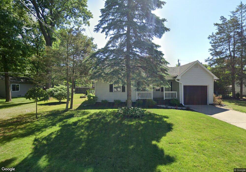
4037 Highland Ct Unit Bldg-Unit West Bloomfield, MI 48323
Estimated Value: $273,000 - $296,532
4
Beds
1
Bath
1,272
Sq Ft
$226/Sq Ft
Est. Value
About This Home
This home is located at 4037 Highland Ct Unit Bldg-Unit, West Bloomfield, MI 48323 and is currently estimated at $287,383, approximately $225 per square foot. 4037 Highland Ct Unit Bldg-Unit is a home located in Oakland County with nearby schools including Walled Lake Central High School, St. Matthew Lutheran School, and St. William School.
Ownership History
Date
Name
Owned For
Owner Type
Purchase Details
Closed on
Dec 10, 2021
Sold by
Kesselly Molubah M and Kesselly Sherrelle A
Bought by
Segnitz Corey
Current Estimated Value
Purchase Details
Closed on
Jan 18, 2018
Sold by
Harenza Stephen Paul and Harenza April Rene
Bought by
Kesselly Molubah M and Kesselly Sherrelle A
Home Financials for this Owner
Home Financials are based on the most recent Mortgage that was taken out on this home.
Original Mortgage
$171,830
Interest Rate
4.5%
Mortgage Type
FHA
Create a Home Valuation Report for This Property
The Home Valuation Report is an in-depth analysis detailing your home's value as well as a comparison with similar homes in the area
Home Values in the Area
Average Home Value in this Area
Purchase History
| Date | Buyer | Sale Price | Title Company |
|---|---|---|---|
| Segnitz Corey | $212,000 | None Listed On Document | |
| Kesselly Molubah M | $175,000 | None Available |
Source: Public Records
Mortgage History
| Date | Status | Borrower | Loan Amount |
|---|---|---|---|
| Previous Owner | Kesselly Molubah M | $171,830 |
Source: Public Records
Tax History Compared to Growth
Tax History
| Year | Tax Paid | Tax Assessment Tax Assessment Total Assessment is a certain percentage of the fair market value that is determined by local assessors to be the total taxable value of land and additions on the property. | Land | Improvement |
|---|---|---|---|---|
| 2024 | $2,433 | $125,090 | $0 | $0 |
| 2022 | $2,304 | $114,700 | $37,600 | $77,100 |
| 2021 | $3,577 | $106,110 | $0 | $0 |
| 2020 | $2,458 | $104,820 | $37,600 | $67,220 |
| 2018 | $2,140 | $93,840 | $32,550 | $61,290 |
| 2015 | -- | $72,410 | $0 | $0 |
| 2014 | -- | $65,640 | $0 | $0 |
| 2011 | -- | $56,600 | $0 | $0 |
Source: Public Records
Map
Nearby Homes
- 7969 Richardson Rd
- 7381 Crestmore St
- 7337 Richardson Rd
- 4212 Greendale Ave
- 4245 Bunker Ave
- 7369 Sweetbriar
- 7359 Woodlore Dr
- 0000 Dickert St
- 4335 Crestdale Ave
- 1047 Addison Cir
- 8330 Dickert St
- 3291 Melmoor St
- 103 Addison Cir
- 3280 Chambourne St
- 6978 Colony Dr
- 8223 Arlis St
- 8304 Arlis St
- 8559 Pine Cove Dr
- 7146 Arrowood Dr
- 8370 Arlis St
- 4037 Highland Ct
- 4085 Highland Ct
- 7887 Richardson Rd
- 4036 Highland Ct
- 4036 Maple Blvd
- 4024 Maple Blvd
- 7915 Richardson Rd
- 4050 Maple Blvd
- 4101 Highland Ct
- 4068 Highland Ct
- 4080 Maple Blvd
- 4035 Circle Blvd
- 7876 Richardson Rd
- 7935 Richardson Rd
- 4100 Highland Ct
- 4051 Circle Blvd
- 4035 Maple Blvd
- 3994 Maple Blvd
- 4121 Highland Ct
- 7815 Richardson Rd