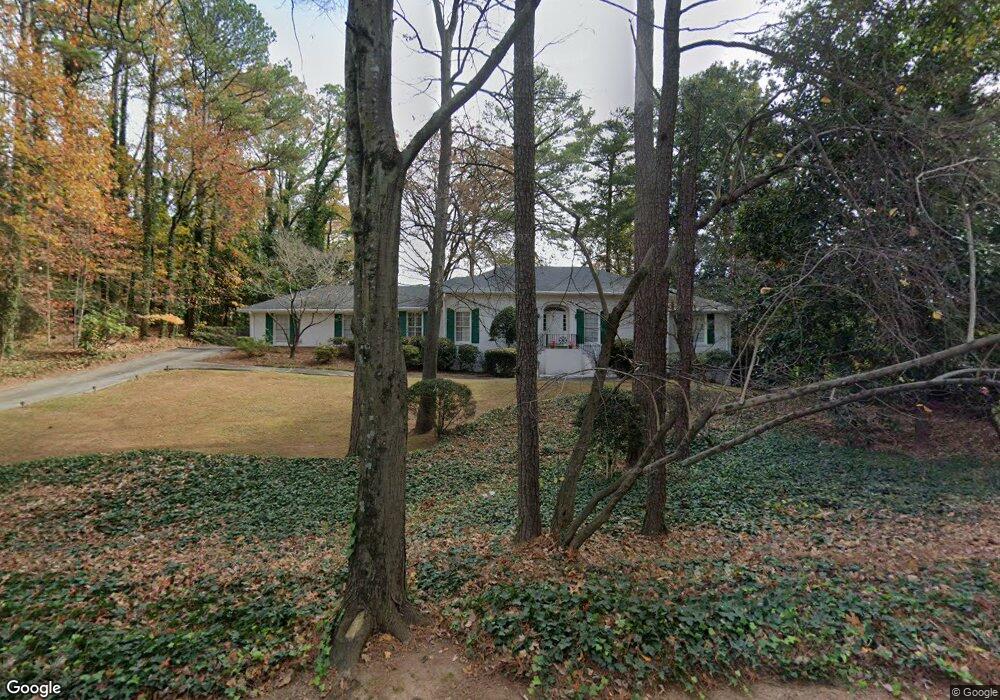
4037 Spalding Dr Unit 1 Atlanta, GA 30350
Estimated Value: $640,000 - $727,000
3
Beds
3
Baths
2,139
Sq Ft
$322/Sq Ft
Est. Value
About This Home
This home is located at 4037 Spalding Dr Unit 1, Atlanta, GA 30350 and is currently estimated at $688,684, approximately $321 per square foot. 4037 Spalding Dr Unit 1 is a home located in DeKalb County with nearby schools including Austin Elementary School, Peachtree Middle School, and Dunwoody High School.
Ownership History
Date
Name
Owned For
Owner Type
Purchase Details
Closed on
Mar 12, 2003
Sold by
Fincher Judy C
Bought by
Fincher Judy C and Fincher Martha
Current Estimated Value
Home Financials for this Owner
Home Financials are based on the most recent Mortgage that was taken out on this home.
Original Mortgage
$134,000
Outstanding Balance
$57,012
Interest Rate
5.86%
Mortgage Type
New Conventional
Estimated Equity
$631,672
Purchase Details
Closed on
May 2, 2000
Sold by
Wilson V H
Bought by
Wilson Judy F
Purchase Details
Closed on
Dec 10, 1993
Sold by
Browning Grady T Forrestine
Bought by
West Joel A Lisa B
Create a Home Valuation Report for This Property
The Home Valuation Report is an in-depth analysis detailing your home's value as well as a comparison with similar homes in the area
Home Values in the Area
Average Home Value in this Area
Purchase History
| Date | Buyer | Sale Price | Title Company |
|---|---|---|---|
| Fincher Judy C | $1,000 | -- | |
| Fincher Judy C | $1,000 | -- | |
| Wilson Judy F | -- | -- | |
| West Joel A Lisa B | $120,000 | -- |
Source: Public Records
Mortgage History
| Date | Status | Borrower | Loan Amount |
|---|---|---|---|
| Open | Fincher Judy C | $134,000 | |
| Closed | West Joel A Lisa B | -- |
Source: Public Records
Tax History Compared to Growth
Tax History
| Year | Tax Paid | Tax Assessment Tax Assessment Total Assessment is a certain percentage of the fair market value that is determined by local assessors to be the total taxable value of land and additions on the property. | Land | Improvement |
|---|---|---|---|---|
| 2025 | $1,046 | $264,320 | $76,000 | $188,320 |
| 2024 | $1,108 | $243,320 | $76,000 | $167,320 |
| 2023 | $1,108 | $249,520 | $76,000 | $173,520 |
| 2022 | $1,072 | $205,800 | $76,000 | $129,800 |
| 2021 | $1,011 | $184,920 | $76,000 | $108,920 |
| 2020 | $1,099 | $149,760 | $76,000 | $73,760 |
| 2019 | $1,026 | $149,160 | $76,000 | $73,160 |
| 2018 | $1,343 | $147,840 | $76,000 | $71,840 |
| 2017 | $1,509 | $145,600 | $85,160 | $60,440 |
| 2016 | $1,376 | $141,800 | $85,160 | $56,640 |
| 2014 | $1,354 | $129,520 | $85,160 | $44,360 |
Source: Public Records
Map
Nearby Homes
- 5662 Queensborough Dr
- 1136 Coronation Dr
- 4006 Wingate Way
- 7632 Auden Trail
- 1015 Wingate Way
- 2015 Wingate Way
- 3020 Wingate Way
- 812 Stratford Ct
- 1503 Wingate Way
- 1120 Whitehall Pointe
- 5697 Whitehall Walk
- 7967 Magnolia Square
- 1804 Wingate Way Unit 1804
- 942 Telfair Close
- 5816 Chamblee Dunwoody Rd
- 1312 Old Hammond Chase
- 1404 Huntingdon Chase
- 1205 Spalding Dr
- 1205 Spalding Dr
- 4025 Spalding Dr Unit 1
- 5598 Queensborough Dr
- 5580 Queensborough Dr
- 4036 Spalding Dr
- 5606 Queensborough Dr
- 4028 Spalding Dr
- 4048 Spalding Dr
- 4020 Spalding Dr
- 5614 Queensborough Dr
- 1215 Spalding Dr
- 1195 Weldstone Ct
- 1029 Coronation Dr
- 4010 Spalding Dr
- 1014 Weldstone Ct
- 1014 Weldstone Ct
- 0 Weldstone Ct Unit 8475395
- 0 Weldstone Ct Unit 8463357
- 0 Weldstone Ct Unit 7081813