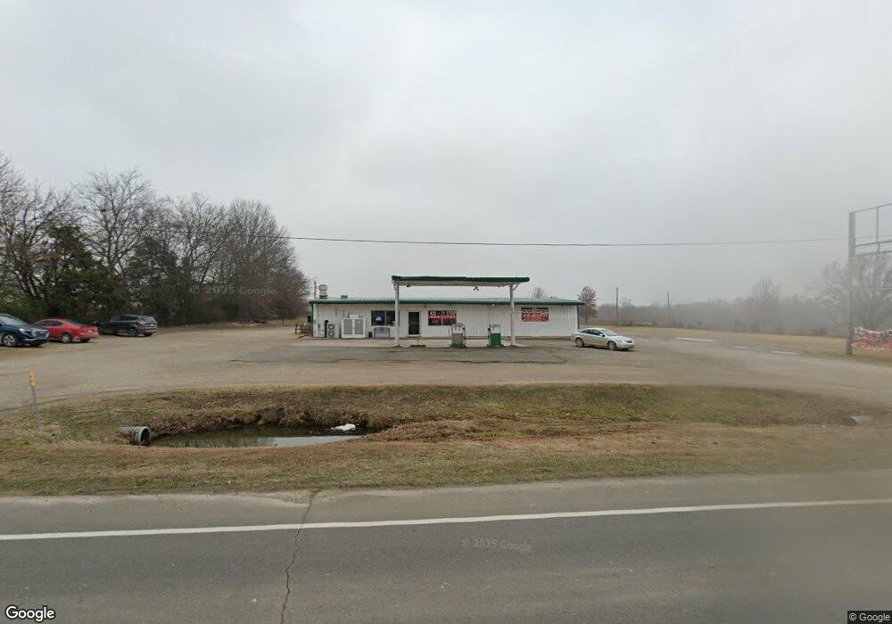
40376 State Highway 51b Porter, OK 74454
Estimated Value: $137,224
--
Bed
--
Bath
1,500
Sq Ft
$91/Sq Ft
Est. Value
About This Home
This home is located at 40376 State Highway 51b, Porter, OK 74454 and is currently estimated at $137,224, approximately $91 per square foot. 40376 State Highway 51b is a home located in Wagoner County with nearby schools including Porter Consolidated High School.
Ownership History
Date
Name
Owned For
Owner Type
Purchase Details
Closed on
Feb 15, 2022
Sold by
Cole Pit Llc
Bought by
Cole Dale H
Current Estimated Value
Purchase Details
Closed on
Jul 30, 2010
Sold by
Merrill Jeff D and Feil Merrill Jennifer M
Bought by
The Cole Pit Llc
Purchase Details
Closed on
Jun 12, 2007
Sold by
Mccollough Darrell G and Mccollough Margaret R
Bought by
Merrill Jeff D and Feil Merrill Jennifer M
Create a Home Valuation Report for This Property
The Home Valuation Report is an in-depth analysis detailing your home's value as well as a comparison with similar homes in the area
Home Values in the Area
Average Home Value in this Area
Purchase History
| Date | Buyer | Sale Price | Title Company |
|---|---|---|---|
| Cole Dale H | $13,333 | Elite Title Company | |
| The Cole Pit Llc | $175,000 | Wagoner County Abstract Comp | |
| Merrill Jeff D | $175,000 | Wagoner County Abstract Co |
Source: Public Records
Tax History Compared to Growth
Tax History
| Year | Tax Paid | Tax Assessment Tax Assessment Total Assessment is a certain percentage of the fair market value that is determined by local assessors to be the total taxable value of land and additions on the property. | Land | Improvement |
|---|---|---|---|---|
| 2024 | $2,039 | $22,282 | $4,481 | $17,801 |
| 2023 | $1,942 | $21,221 | $4,481 | $16,740 |
| 2022 | $1,752 | $18,933 | $4,481 | $14,452 |
| 2021 | $1,699 | $18,031 | $4,481 | $13,550 |
| 2020 | $1,980 | $20,618 | $4,250 | $16,368 |
| 2019 | $1,854 | $19,637 | $3,920 | $15,717 |
| 2018 | $1,795 | $19,637 | $3,920 | $15,717 |
| 2017 | $1,753 | $19,637 | $3,920 | $15,717 |
| 2016 | $1,694 | $19,232 | $3,559 | $15,673 |
| 2015 | -- | $18,316 | $2,643 | $15,673 |
| 2014 | -- | $17,444 | $1,680 | $15,764 |
Source: Public Records
Map
Nearby Homes
- 149 S 7th St
- 342 S 6th St
- 0 4180 Rd Unit 2535087
- 438 S 6th St
- 0 W Dixieland Ave
- 0 Cresthaven Ave
- 18717 S 405th Ave E
- 19596 S 405th East Ave
- 2 Oklahoma 51b
- 1 Oklahoma 51b
- 835 S G St
- 0 S G St
- 45022 E 201st St S
- 18717 S 405 Ave E
- 91 E 211th St S
- 3 Hwy 51 B
- n Indian Red Ave
- 36971 E 191st St S
- 200 S 4200
- 200 N 4200
- 0 Hwy 51 B Unit 1804039
- 0 Hwy 51 B Unit 1828787
- 803 W Hale
- 803 E Hale Ave
- 145 S 8th St
- 0 Hale Ave Unit 2018205
- 242 S 8th St
- 209 N 9th St
- 146 S 7th St
- 130 S 7th St
- 0 Finale St Unit 2129638
- 100 S 7th St
- 134 N 7th St
- 242 S 7th St
- 346 S 8th St
- 20564 S 405th East Ave
- 305 S 8th St
- 730 W Jersey Glo Ave
- 960 N 7 St