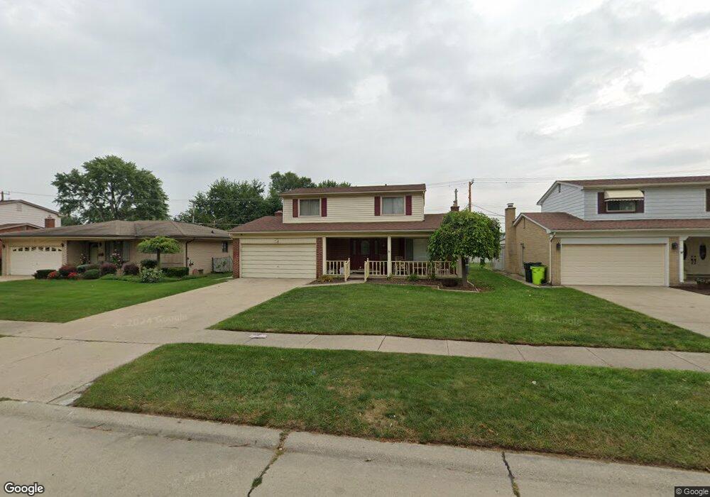
40384 Meade Point Dr Sterling Heights, MI 48313
Estimated Value: $321,508 - $344,000
4
Beds
2
Baths
1,647
Sq Ft
$203/Sq Ft
Est. Value
About This Home
This home is located at 40384 Meade Point Dr, Sterling Heights, MI 48313 and is currently estimated at $334,127, approximately $202 per square foot. 40384 Meade Point Dr is a home located in Macomb County with nearby schools including Schwarzkoff Elementary School, Davis Junior High School, and Adlai Stevenson High School.
Ownership History
Date
Name
Owned For
Owner Type
Purchase Details
Closed on
Jun 20, 2018
Sold by
Fry William K and Fry Joan
Bought by
Judkins Nicholas and Judkins Lauren
Current Estimated Value
Home Financials for this Owner
Home Financials are based on the most recent Mortgage that was taken out on this home.
Original Mortgage
$196,377
Outstanding Balance
$168,788
Interest Rate
4.6%
Mortgage Type
FHA
Estimated Equity
$165,339
Create a Home Valuation Report for This Property
The Home Valuation Report is an in-depth analysis detailing your home's value as well as a comparison with similar homes in the area
Home Values in the Area
Average Home Value in this Area
Purchase History
| Date | Buyer | Sale Price | Title Company |
|---|---|---|---|
| Judkins Nicholas | $200,000 | Title Source Inc |
Source: Public Records
Mortgage History
| Date | Status | Borrower | Loan Amount |
|---|---|---|---|
| Open | Judkins Nicholas | $196,377 |
Source: Public Records
Tax History
| Year | Tax Paid | Tax Assessment Tax Assessment Total Assessment is a certain percentage of the fair market value that is determined by local assessors to be the total taxable value of land and additions on the property. | Land | Improvement |
|---|---|---|---|---|
| 2025 | $4,039 | $148,400 | $0 | $0 |
| 2024 | $39 | $137,400 | $0 | $0 |
| 2023 | $3,794 | $124,300 | $0 | $0 |
| 2022 | $4,133 | $115,400 | $0 | $0 |
| 2021 | $4,212 | $109,300 | $0 | $0 |
| 2020 | $2,767 | $102,500 | $0 | $0 |
| 2019 | $2,947 | $95,900 | $0 | $0 |
| 2018 | $3,942 | $89,100 | $0 | $0 |
| 2017 | $3,818 | $87,700 | $13,500 | $74,200 |
| 2016 | $3,728 | $87,700 | $0 | $0 |
| 2015 | -- | $81,900 | $0 | $0 |
| 2014 | -- | $69,200 | $0 | $0 |
Source: Public Records
Map
Nearby Homes
- 40162 Spitz Dr
- 40724 Pickett Ridge Rd
- 40552 Lizabeth Dr
- 39856 Parklawn Dr
- 8223 San Marco Blvd
- 11118 Plumridge Blvd
- 8114 Clay Ct Unit 114
- 39517 Balboa Dr
- 8401 18 Mile Rd Unit 196
- 41371 Hamilton Dr
- 8860 Cherrylawn Dr
- 41816 Langley Dr
- 39308 Farmhill Dr
- 39417 Van Dyke Ave Unit 605
- 39441 Van Dyke Ave
- 39447 Van Dyke Ave Unit 212
- 39412 Burns Dr
- 8451 Doncaster Dr
- 8452 Doncaster Dr
- 11425 Plumbrook Rd
- 40396 Meade Point Dr
- 40372 Meade Point Dr
- 40360 Meade Point Dr
- 40408 Meade Point Dr
- 8811 Independence Dr
- 8817 Independence Dr
- 40420 Meade Point Dr
- 40383 Meade Point Dr
- 8801 Independence Dr
- 40371 Meade Point Dr
- 40395 Meade Point Dr
- 40336 Meade Point Dr
- 40429 Regency Dr
- 40359 Meade Point Dr
- 40407 Meade Point Dr
- 40441 Regency Dr
- 8823 Independence Dr
- 40432 Meade Point Dr
- 40347 Meade Point Dr
- 40419 Meade Point Dr
Your Personal Tour Guide
Ask me questions while you tour the home.