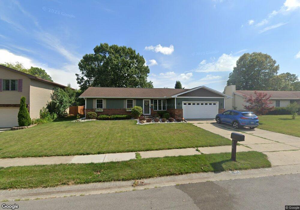
404 Barons Rd Springfield, IL 62704
Westchester NeighborhoodEstimated Value: $232,000 - $244,000
Studio
--
Bath
--
Sq Ft
11,151
Sq Ft Lot
About This Home
This home is located at 404 Barons Rd, Springfield, IL 62704 and is currently estimated at $238,596. 404 Barons Rd is a home located in Sangamon County with nearby schools including Sandburg Elementary School, Benjamin Franklin Middle School, and Springfield Southeast High School.
Ownership History
Date
Name
Owned For
Owner Type
Purchase Details
Closed on
Apr 22, 2021
Sold by
Corcoran-Schainker Denise L
Bought by
Mcmann Whitney L
Current Estimated Value
Home Financials for this Owner
Home Financials are based on the most recent Mortgage that was taken out on this home.
Original Mortgage
$160,164
Outstanding Balance
$143,733
Interest Rate
2.63%
Mortgage Type
FHA
Estimated Equity
$94,863
Purchase Details
Closed on
Jun 10, 2009
Purchase Details
Closed on
Sep 14, 1995
Create a Home Valuation Report for This Property
The Home Valuation Report is an in-depth analysis detailing your home's value as well as a comparison with similar homes in the area
Home Values in the Area
Average Home Value in this Area
Purchase History
| Date | Buyer | Sale Price | Title Company |
|---|---|---|---|
| Mcmann Whitney L | $174,900 | Fernandes David A | |
| -- | -- | -- | |
| -- | -- | -- |
Source: Public Records
Mortgage History
| Date | Status | Borrower | Loan Amount |
|---|---|---|---|
| Open | Mcmann Whitney L | $160,164 |
Source: Public Records
Tax History
| Year | Tax Paid | Tax Assessment Tax Assessment Total Assessment is a certain percentage of the fair market value that is determined by local assessors to be the total taxable value of land and additions on the property. | Land | Improvement |
|---|---|---|---|---|
| 2024 | $5,107 | $66,801 | $9,264 | $57,537 |
| 2023 | $4,864 | $61,017 | $8,462 | $52,555 |
| 2022 | $5,146 | $57,432 | $8,027 | $49,405 |
| 2021 | $4,436 | $55,281 | $7,726 | $47,555 |
| 2020 | $3,922 | $50,527 | $7,739 | $42,788 |
| 2019 | $3,848 | $50,351 | $7,712 | $42,639 |
| 2018 | $3,822 | $51,240 | $7,673 | $43,567 |
| 2017 | $3,737 | $50,578 | $7,574 | $43,004 |
| 2016 | $3,656 | $49,841 | $7,464 | $42,377 |
| 2015 | $3,615 | $49,245 | $7,375 | $41,870 |
| 2014 | $3,403 | $48,927 | $7,327 | $41,600 |
| 2013 | $3,327 | $47,062 | $7,326 | $39,736 |
Source: Public Records
Map
Nearby Homes
- 51 Squires Rd
- 21 Drawbridge Rd
- 49 Foresters Ln
- 3132 Elmhurst Dr
- 53 Friars Ln
- 3434 Freedom Dr
- 3300 Haviland Dr
- 41 Belhaven Dr
- 3120 Cascade Dr
- 2709 Clifton Dr
- 2944 Rainier Dr
- 3304 Ellendale Dr
- 3104 Constitution Dr
- 10 Andover Dr
- 2216 Charlack Ave
- 3500 Sandwood Dr
- 3608 Wittington Ct
- 2341 W White Oaks Dr
- 2315 Connie Dr
- 2234 Warson Rd
- 400 Barons Rd
- 400 Baron Rd
- 408 Barons Rd
- 412 Barons Rd
- 405 Barons Rd
- 409 Barons Rd
- 413 Barons Rd
- 94 Crusaders Rd
- 85 Crusaders Rd
- 90 Crusaders Rd
- 98 Crusaders Rd
- 416 Barons Rd
- 86 Crusaders Rd
- 102 Crusaders Rd
- 417 Barons Rd
- 82 Crusaders Rd
- 412 Merrymen Ln
- 420 Barons Rd
- 106 Crusaders Rd
- 416 Merrymen Ln
Your Personal Tour Guide
Ask me questions while you tour the home.