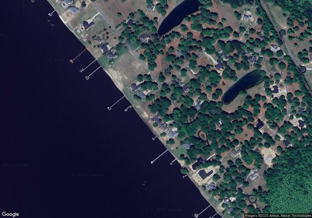
404 Bay Point Dr Edenton, NC 27932
Estimated Value: $254,000 - $357,000
--
Bed
--
Bath
--
Sq Ft
0.71
Acres
About This Home
This home is located at 404 Bay Point Dr, Edenton, NC 27932 and is currently estimated at $286,928. 404 Bay Point Dr is a home located in Chowan County with nearby schools including White Oak Elementary School, D.F. Walker Elementary School, and Chowan Middle School.
Ownership History
Date
Name
Owned For
Owner Type
Purchase Details
Closed on
Jan 21, 2025
Sold by
Douglas Shannon K and Douglas Alicia S
Bought by
Britt Adam R
Current Estimated Value
Purchase Details
Closed on
Jul 21, 2020
Sold by
Dratch Richard D and Dratch Deborah D
Bought by
Shannon Douglas K and Shannon Alicia Douglas
Home Financials for this Owner
Home Financials are based on the most recent Mortgage that was taken out on this home.
Original Mortgage
$123,600
Interest Rate
3.2%
Mortgage Type
Construction
Purchase Details
Closed on
Nov 24, 2004
Bought by
Dratch Scott Richard
Create a Home Valuation Report for This Property
The Home Valuation Report is an in-depth analysis detailing your home's value as well as a comparison with similar homes in the area
Home Values in the Area
Average Home Value in this Area
Purchase History
| Date | Buyer | Sale Price | Title Company |
|---|---|---|---|
| Britt Adam R | $265,000 | -- | |
| Shannon Douglas K | $800,000 | -- | |
| Dratch Scott Richard | $257,000 | -- |
Source: Public Records
Mortgage History
| Date | Status | Borrower | Loan Amount |
|---|---|---|---|
| Previous Owner | Shannon Douglas K | $123,600 |
Source: Public Records
Tax History Compared to Growth
Tax History
| Year | Tax Paid | Tax Assessment Tax Assessment Total Assessment is a certain percentage of the fair market value that is determined by local assessors to be the total taxable value of land and additions on the property. | Land | Improvement |
|---|---|---|---|---|
| 2025 | $1,234 | $161,278 | $158,153 | $3,125 |
| 2024 | $1,234 | $161,278 | $158,153 | $3,125 |
| 2023 | $1,185 | $161,278 | $158,153 | $3,125 |
| 2022 | $1,185 | $161,278 | $158,153 | $3,125 |
| 2021 | $2,150 | $260,550 | $255,060 | $5,490 |
| 2020 | $2,110 | $260,550 | $255,060 | $5,490 |
| 2019 | $2,110 | $260,550 | $255,060 | $5,490 |
| 2018 | $2,084 | $260,550 | $255,060 | $5,490 |
| 2016 | $2,239 | $281,610 | $276,120 | $5,490 |
| 2015 | $2,197 | $281,610 | $276,120 | $5,490 |
| 2014 | $2,112 | $281,610 | $276,120 | $5,490 |
Source: Public Records
Map
Nearby Homes
- 104 Heritage Point Dr
- 112 Mallard Cove
- 112 Lake Wood Dr
- 124 Mallard Cove Rd
- 212 Deer Path
- 112 Deer Path
- 106 Colony Dr
- 124 Colony Dr
- 101 Colony Dr
- 126 Colony Dr
- 204 Colony Dr
- 211 Colony Dr
- 301 Colony Dr
- 104 Colony Dr
- 115 Colony Dr
- 202 Colony Dr
- 206 Colony Dr
- 213 Colony Dr
- 303 Colony Dr
- 412 Dogwood Dr
- 408 Bay Point Dr
- 400 Bay Point
- 412 Bay Point Dr
- 382 Bay Point Dr
- 416 Bay Point
- 416 Bay Point Dr
- 378 Bay Point Dr
- 381 Bay Point
- 409 Bay Point Dr
- 374 Bay Point Dr
- 381 Bay Point Dr
- 401 Bay Point Dr
- 377 Bay Point Dr
- 119 Heritage Point Dr
- 370 Bay Point
- 409 Bay Point
- 413 Bay Point Dr
- 115 Heritage Point Dr
- 115 Heritage Point
- 377 Bay Point
