Studio
5
Baths
8,200
Sq Ft
--
Built
About This Home
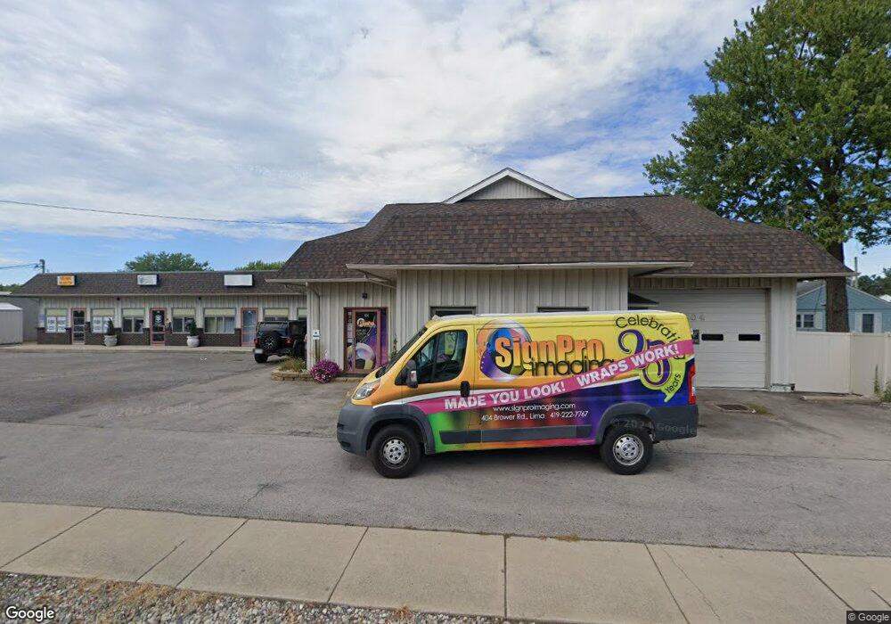
This home is located at 404 Brower Rd, Lima, OH 45801. 404 Brower Rd is a home located in Allen County with nearby schools including Elida Elementary School, Elida Middle School, and Elida High School.
Ownership History
Date
Name
Owned For
Owner Type
Purchase Details
Closed on
Aug 19, 2011
Sold by
Michelle R Sterling Inc
Bought by
Mssb Enterprise Llc
Purchase Details
Closed on
Oct 25, 2010
Sold by
Frobase Jason B
Bought by
Ib Property Holdings Llc
Purchase Details
Closed on
Mar 23, 2007
Sold by
Mckissick William A and Mckissick Georgianna L
Bought by
Frobase Jason B
Home Financials for this Owner
Home Financials are based on the most recent Mortgage that was taken out on this home.
Original Mortgage
$248,000
Interest Rate
6.25%
Purchase Details
Closed on
Feb 8, 1999
Sold by
Stewart Thomas
Bought by
Mckissick William and Mckissick Georgianna
Home Financials for this Owner
Home Financials are based on the most recent Mortgage that was taken out on this home.
Original Mortgage
$200,000
Interest Rate
6.81%
Mortgage Type
Commercial
Purchase Details
Closed on
May 9, 1989
Bought by
Stewart Thomas J
Create a Home Valuation Report for This Property
The Home Valuation Report is an in-depth analysis detailing your home's value as well as a comparison with similar homes in the area
Purchase History
| Date | Buyer | Sale Price | Title Company |
|---|---|---|---|
| Mssb Enterprise Llc | -- | Attorney | |
| Ib Property Holdings Llc | $140,000 | Attorney | |
| Frobase Jason B | $310,000 | None Available | |
| Mckissick William | $172,000 | -- | |
| Stewart Thomas J | $17,000 | -- |
Source: Public Records
Mortgage History
| Date | Status | Borrower | Loan Amount |
|---|---|---|---|
| Previous Owner | Frobase Jason B | $248,000 | |
| Previous Owner | Mckissick William | $200,000 |
Source: Public Records
Tax History
| Year | Tax Paid | Tax Assessment Tax Assessment Total Assessment is a certain percentage of the fair market value that is determined by local assessors to be the total taxable value of land and additions on the property. | Land | Improvement |
|---|---|---|---|---|
| 2024 | $5,176 | $90,240 | $5,290 | $84,950 |
| 2023 | $5,169 | $82,010 | $4,800 | $77,210 |
| 2022 | $5,227 | $82,010 | $4,800 | $77,210 |
| 2021 | $5,228 | $82,010 | $4,800 | $77,210 |
| 2020 | $5,199 | $79,070 | $4,830 | $74,240 |
| 2019 | $5,199 | $79,070 | $4,830 | $74,240 |
| 2018 | $5,226 | $79,070 | $4,830 | $74,240 |
| 2017 | $5,100 | $79,070 | $4,830 | $74,240 |
| 2016 | $5,110 | $79,070 | $4,830 | $74,240 |
| 2015 | $5,823 | $79,070 | $4,830 | $74,240 |
| 2014 | $5,823 | $93,590 | $4,830 | $88,760 |
| 2013 | $5,650 | $93,590 | $4,830 | $88,760 |
Source: Public Records
Map
Nearby Homes
- 1705 Karen St
- 475 Kenmore St
- 207 W Lane Ave
- 520 Kenmore St
- 1014 Brower Rd
- 2380 Mandolin Dr
- 2300 Mandolin Dr
- 1889 N Metcalf St
- 1317 Virginia Ave
- 2371 Mandolin Dr
- 1212 Virginia Ave
- 1435 N Central Ave
- 1143 Brower Rd
- 608 W O'Connor Ave
- 645 W O'Connor Ave
- 760 W O'Connor Ave
- 576 W Ashton Ave
- 557 W Ashton Ave
- 1021 N McDonel St
- 1164 Bahama Dr
Your Personal Tour Guide
Ask me questions while you tour the home.