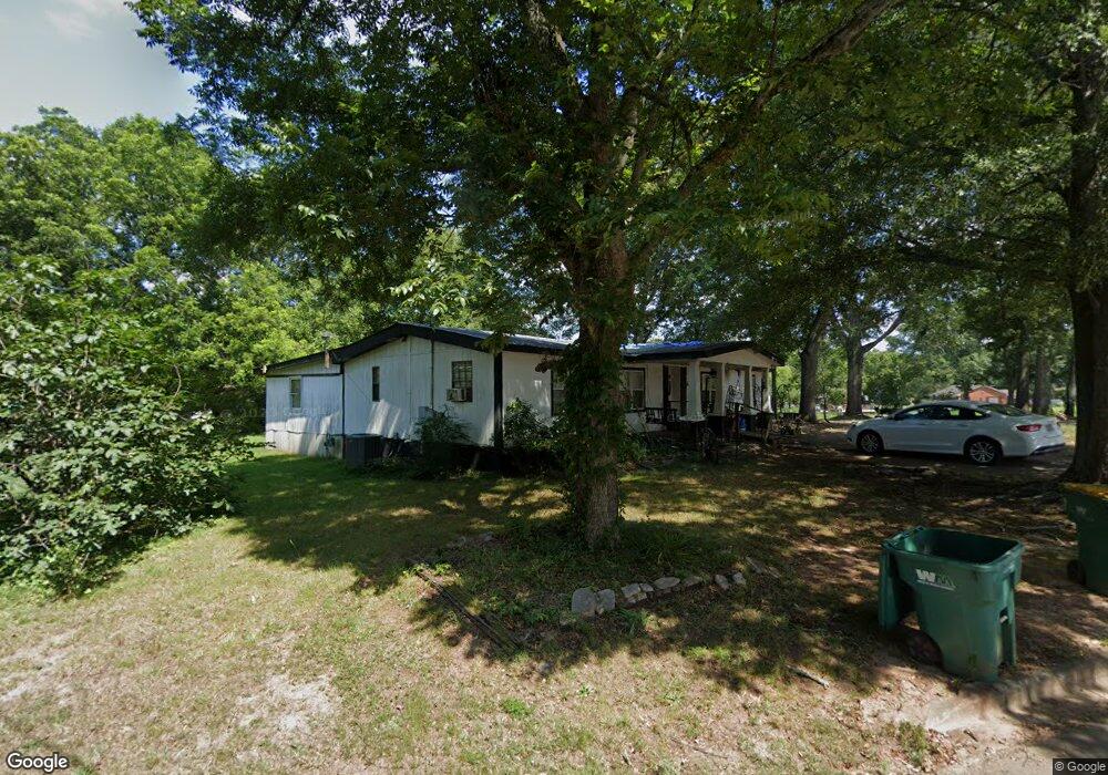
404 Cornog Rd Lavonia, GA 30553
Estimated Value: $62,424 - $278,000
2
Beds
1
Bath
1,036
Sq Ft
$134/Sq Ft
Est. Value
About This Home
This home is located at 404 Cornog Rd, Lavonia, GA 30553 and is currently estimated at $138,606, approximately $133 per square foot. 404 Cornog Rd is a home located in Hart County with nearby schools including Franklin County High School.
Ownership History
Date
Name
Owned For
Owner Type
Purchase Details
Closed on
May 11, 2021
Sold by
Andrews William Rodney
Bought by
Crowe Louie
Current Estimated Value
Purchase Details
Closed on
Apr 23, 2021
Sold by
Andrews William Tyler
Bought by
Andrews William Rodney
Purchase Details
Closed on
Oct 27, 2008
Sold by
Andrews William Tyler
Bought by
Andrews Sara B and Andrews William Rodney
Purchase Details
Closed on
Sep 1, 2000
Purchase Details
Closed on
Apr 1, 1997
Purchase Details
Closed on
Oct 1, 1986
Purchase Details
Closed on
Sep 1, 1947
Create a Home Valuation Report for This Property
The Home Valuation Report is an in-depth analysis detailing your home's value as well as a comparison with similar homes in the area
Home Values in the Area
Average Home Value in this Area
Purchase History
| Date | Buyer | Sale Price | Title Company |
|---|---|---|---|
| Crowe Louie | $38,500 | -- | |
| Andrews William Rodney | -- | -- | |
| Andrews Sara B | -- | -- | |
| -- | -- | -- | |
| -- | $7,000 | -- | |
| -- | -- | -- | |
| -- | -- | -- |
Source: Public Records
Tax History Compared to Growth
Tax History
| Year | Tax Paid | Tax Assessment Tax Assessment Total Assessment is a certain percentage of the fair market value that is determined by local assessors to be the total taxable value of land and additions on the property. | Land | Improvement |
|---|---|---|---|---|
| 2024 | $380 | $24,612 | $9,596 | $15,016 |
| 2023 | $349 | $20,979 | $8,002 | $12,978 |
| 2022 | $256 | $19,228 | $7,056 | $12,172 |
| 2021 | $279 | $15,023 | $3,834 | $11,189 |
| 2020 | $279 | $14,405 | $3,732 | $10,673 |
| 2019 | $281 | $14,388 | $3,732 | $10,656 |
| 2018 | $297 | $14,996 | $3,732 | $11,264 |
| 2017 | $295 | $14,860 | $3,732 | $11,128 |
| 2016 | $282 | $13,746 | $2,538 | $11,208 |
| 2015 | $283 | $14,546 | $3,174 | $11,373 |
| 2014 | $261 | $13,136 | $2,072 | $11,064 |
| 2013 | -- | $13,702 | $2,072 | $11,630 |
Source: Public Records
Map
Nearby Homes
- 45 Wright St Unit 64
- 57 Wright St Unit 68
- 55 Wright St Unit 67
- 51 Wright St Unit 66
- 49 Wright St Unit 65
- 59 Wright St Unit 69
- 5474 Vickery St
- 5494 Vickery St
- 89 Huntington Dr
- 5710 Vickery St
- 90 Old City Park Rd
- 0 Highway 59 Unit 10615036
- 353 Bow Dr
- 138 Victoria Ln
- 103 Ross Place
- 104 Powers Rd
- 86 Luckie St
- 266 Randall St
- 0 Deer Run Trail Unit 10622166
- 0 Hwy 59 and Ross Place Unit 10499138